Places
13 places found.
Those places high-lighted have photos. All locations may have maps, books and memories.
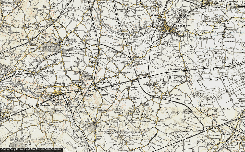
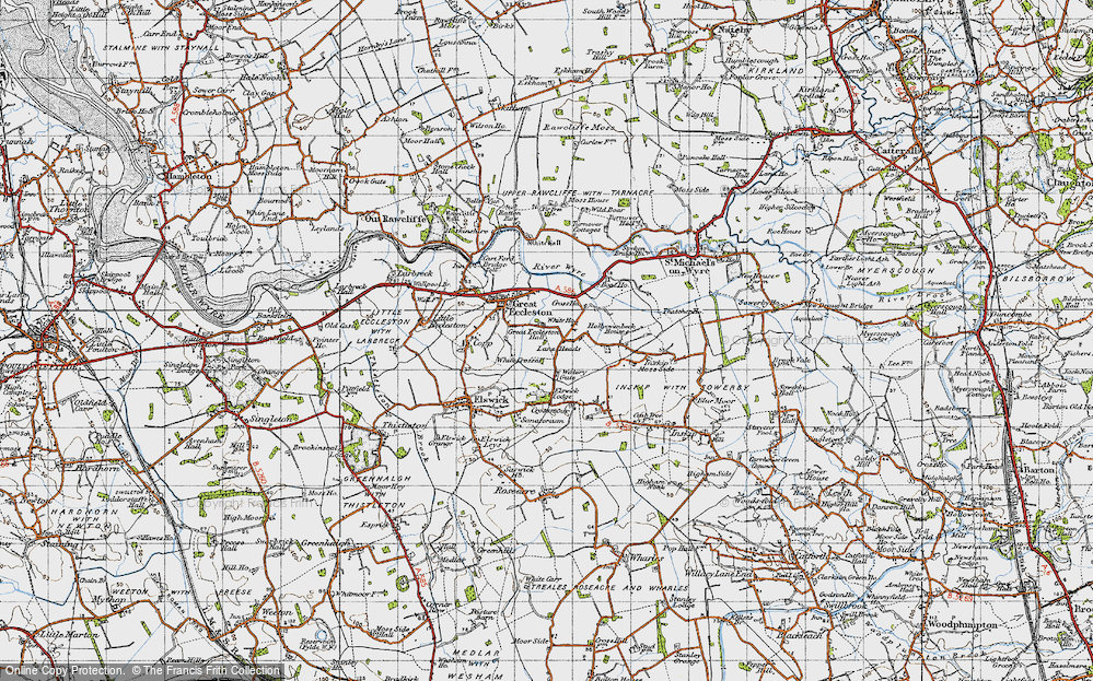
- Lane Heads, Lancashire
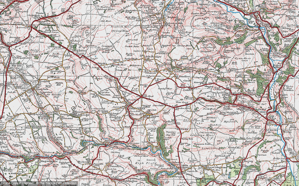
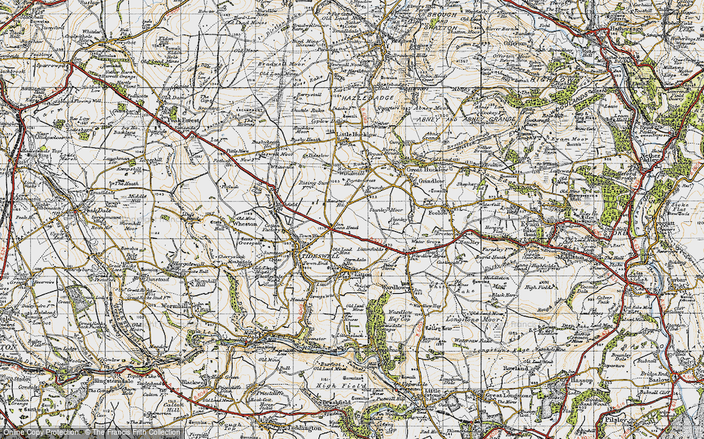
- Lane Head, Derbyshire
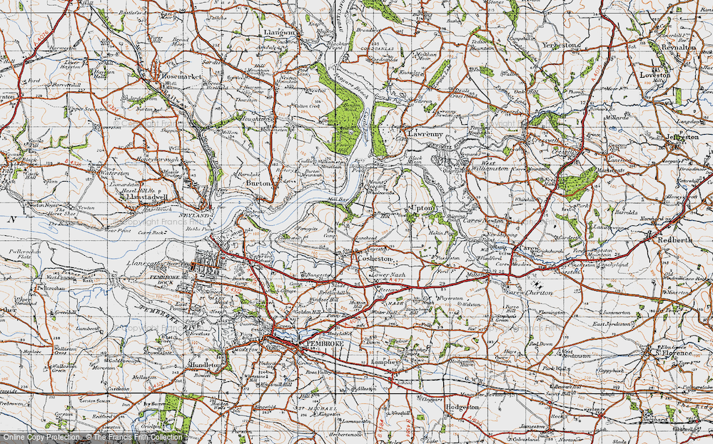
- Lane Head, Dyfed
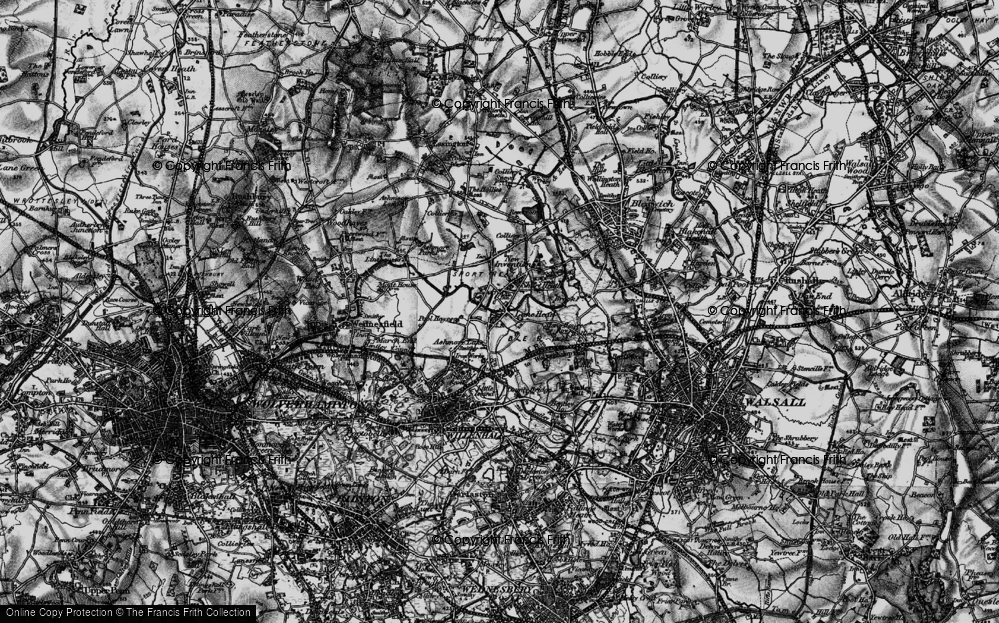
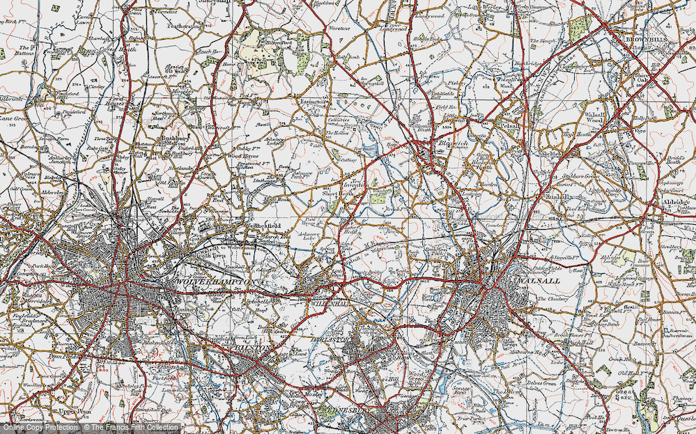
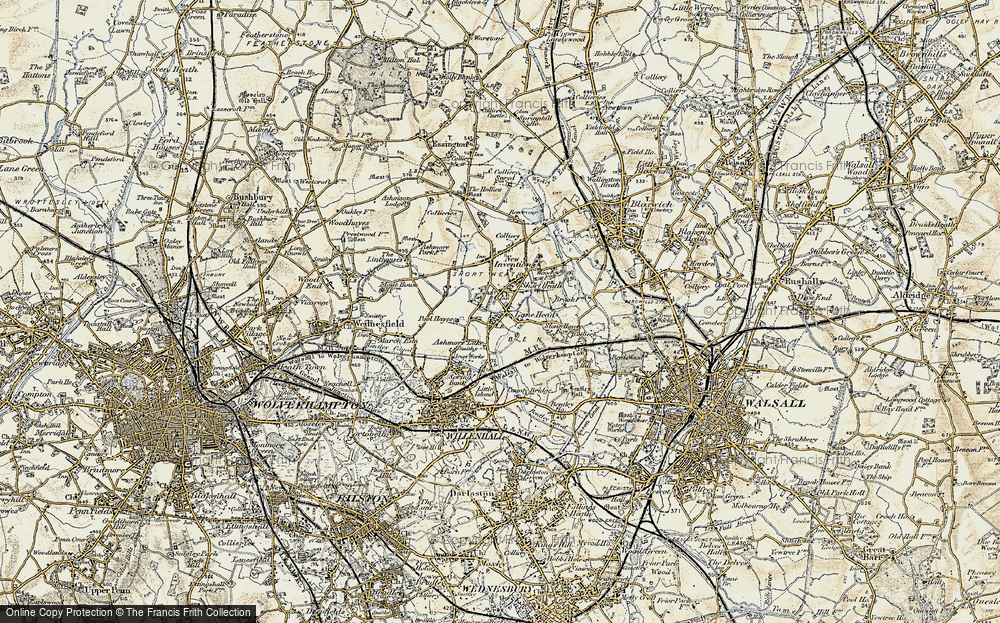
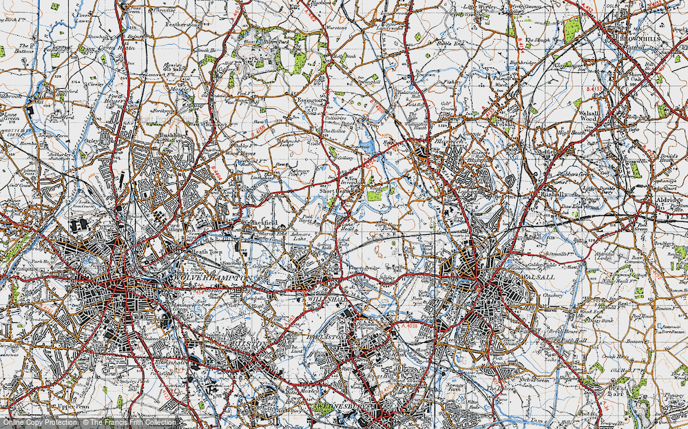
- Lane Head, West Midlands
- Forest Lane Head, Yorkshire
- Dean Lane Head, Yorkshire
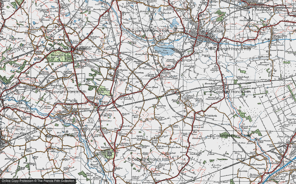
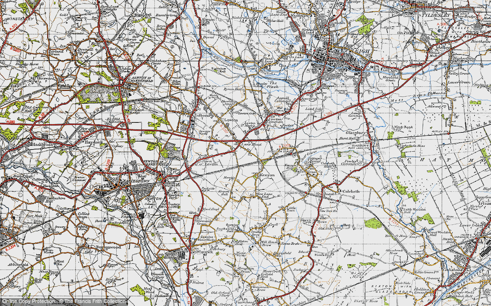
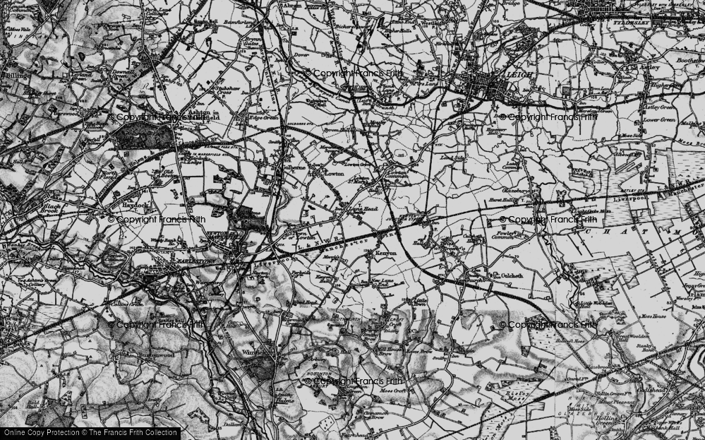
- Lane Head, Greater Manchester
- Cross Lane Head, Shropshire
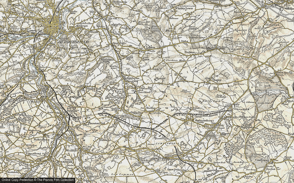
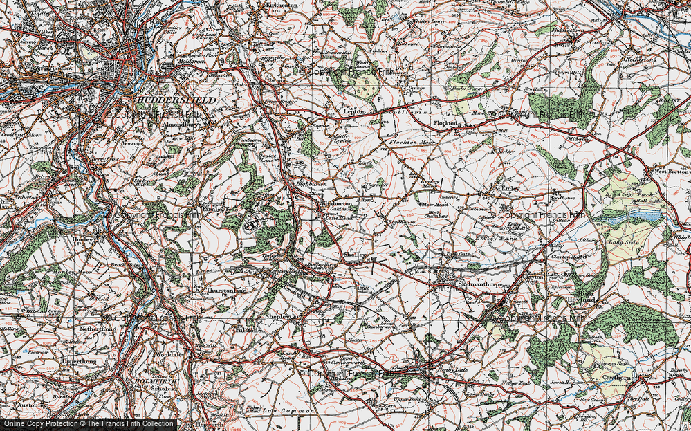
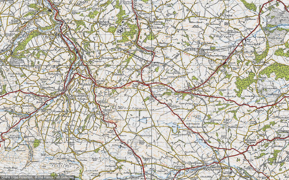
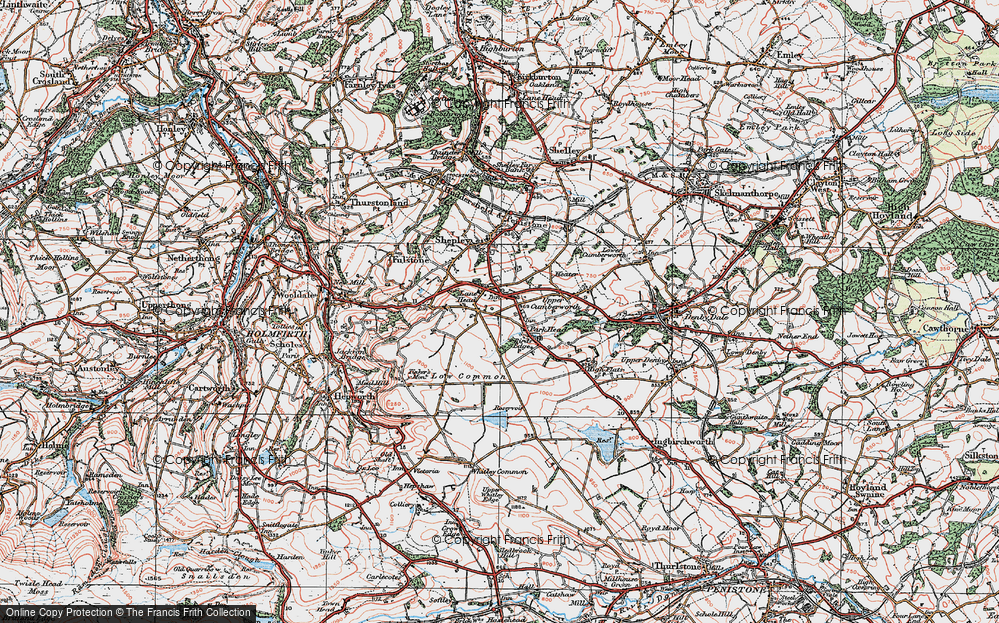
- Lane Head, Yorkshire (near Holmfirth)
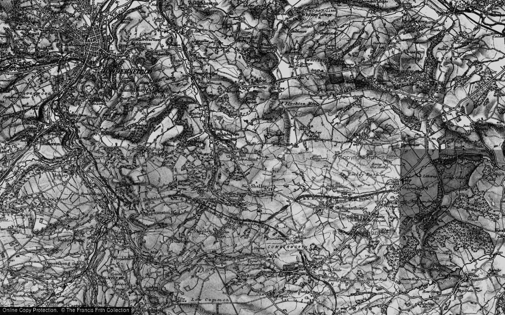
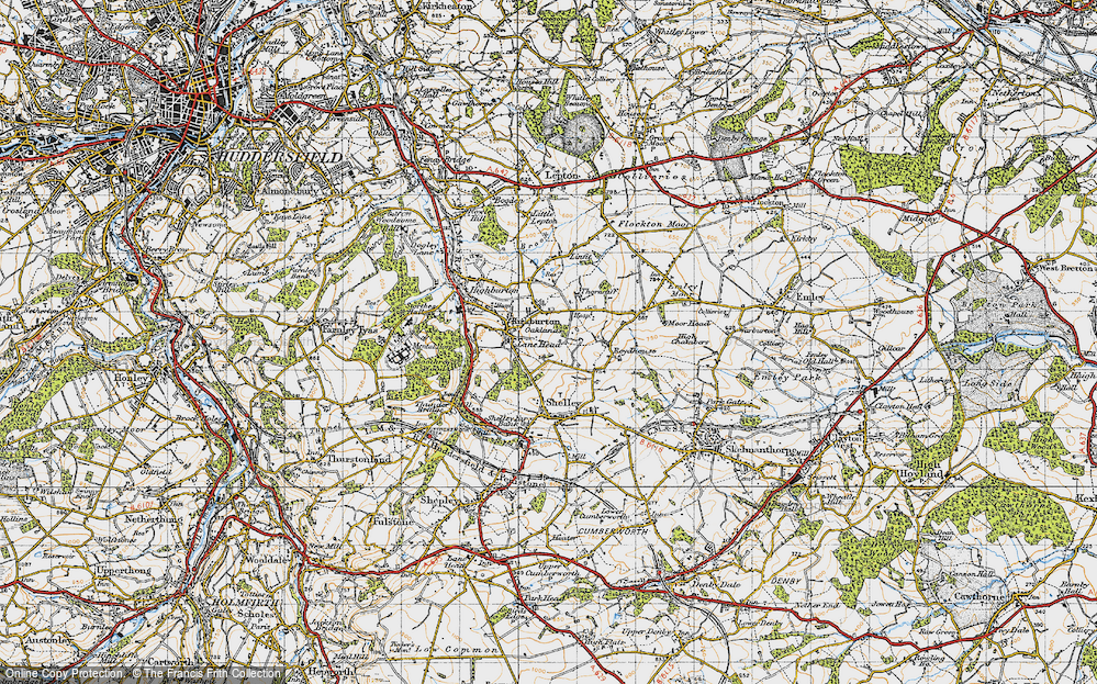
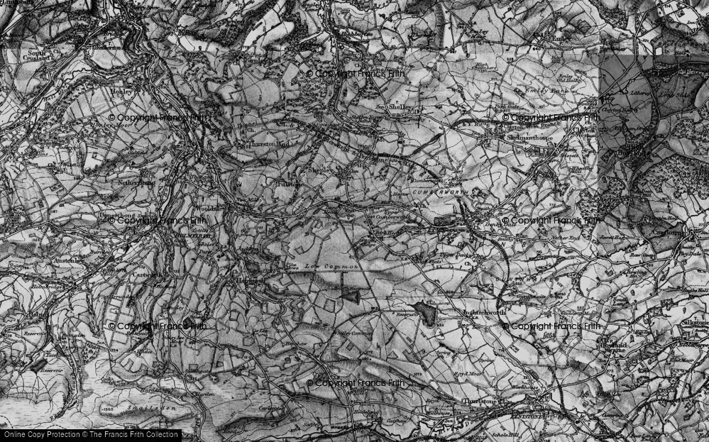
- Lane Head, Yorkshire (near Huddersfield)
- Catley Lane Head, Greater Manchester
- Lanehead, Durham
- Lanehead, Northumberland (near Bellingham)
Photos
11 photos found. Showing results 1 to 11.
Maps
54 maps found.
Books
Sorry, no books were found that related to your search.
Memories
447 memories found. Showing results 1 to 10.
Notes From The Frith Files.
This photograph shows residents waiting for the No.144 Midland Red bus from Malvern to Worcester outside the village shops. Far left is EW Bird's butchers, left is Cromptons newsagents, off picture further left is Procters ...Read more
A memory of Powick
Howards Close
I was born at 23 Howard Close in October 1963. It was a lovely place for children to grow up. A large green and a playground, little traffic, dogs and other residents. Everyone looked out for one another. I attended the infant ...Read more
A memory of Walton on the Hill in 1963 by
My Early School Years In Mill Hill 1943 1950
I have few memories of my primary school which was in a private house in Croft Close a turning off of Marsh Lane, but I do remember being very happy there. This was during the latter war years. However I ...Read more
A memory of Mill Hill by
Grosvenor Road And Urmston, Always A Place In My Heart.
I lived on Grosvenor Road, Urmston - the allotment end - from 1965 to late 1969 age 3 to nearly 8 years of age with my 2 brothers and parents (we then moved to Blackburn). My daughter has recently ...Read more
A memory of Urmston by
1939 Onwards I Remember
I was born in 1939, the year war started, and remember being lifted out of bed in the middle of the night and the barrage balloons looked like big elephants in the sky. I also remember the table shelter in the lounge which I ...Read more
A memory of Harborne in 1940 by
More Memories From A Boy Growing Up In Burghfield
Back in Burghfield around 1962, I clearly remember one day during the School Summer Holiday seeing a Huge Red and Green Steamroller coming towards me with a whole host of Road Tar making ...Read more
A memory of Burghfield Common by
First Visit Away From Home
I believe it was 1967 when I first visited .the trip was arranged between Appleby Magna juniors and local Packington juniors under the Leicester education board . My first sight was magical and although a few were ...Read more
A memory of Aberglaslyn Hall by
Lafone School
Was surprised to hear it had asbestos there attended 1960 s remember Miss Naish english Mr Darby math and an art teacher who got the sack lol . I am linda McDonnell / Russell was always teased with the song Old macdonald had a ...Read more
A memory of Hanworth by
Those Were The Days
I moved to Ireland Wood from Portsmouth when I was 4 years old with my Mum and dad who was in the navy. We lived at 42 Raynel Way. The house was built by the Council. Most of the houses like ours were made of prefabricated concrete ...Read more
A memory of Cookridge by
Beginnings
My parents moved from Pentire to Crantock when I was about 3 and Crantock is certainly ingrained in my memory as being my first home. My mother had taken a position as housekeeper to a Dr Nicholas and with it came Rose Cottage. My father ...Read more
A memory of Crantock by
Captions
88 captions found. Showing results 1 to 24.
From outside the Squirrel's Head public house, Hare Hall Lane (now Upper Brentwood Road) stretches off towards Hare Street.
Main Street crosses Church Street, the A612, to become Station Road as far as the railway line, which runs between the village and the river.
Newton Poppleford is a good base for exploring the Vale of the Otter, with footpath, bridleways and ancient green lanes heading out to all points of the compass.
We are looking north-westwards up Spring Head Road from its junction with Mill Lane (foreground, right) and the bridge over the River Lim.
On the corner stands the Bull's Head public house. Until just a few years ago the abattoir had its premises behind the pub, and here cattle were slaughtered on a regular basis.
Tideford is at the very head of the tidal creek of the River Tiddy; this lane leads down to the water, with the woodlands of the St Germans estate on the far side.
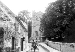
A liveried driver negotiates a light carriage down the narrow lane beside the church in this well-composed picture.
We have just passed St Augustine`s church and are heading away from the village.
Monk's Buildings 1894 From Angmering we head north across the Downs to Storrington, now a large village that started its expansion in late Victorian and Edwardian times.
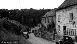
The small hamlet of slate-roofed farm houses and cottages lies at the end of a lane near Black Head, sheltered in the valley which climbs up from Hallane Beach.
The village lies at the head of a small creek off the Camel estuary; this narrow lane has become the main road between Wadebridge and Padstow.
Heading north from Eastbourne, you turn left in Willingdon to climb Butt Lane to the Downs.
This view shows a peaceful scene along Brows Lane. However, redevelopment was about to rear its head. New retail outlets were built on the right hand side.
Heading south-west towards Banbury, we now reach Upper Boddington, close to the Warwickshire border.
Across the Arun we head north to Fittleworth, a village running north from the River Rother up to the Petworth to Pulborough road, now the A283.
This view shows a peaceful scene along Brows Lane. However, redevelopment was about to rear its head. New retail outlets were built on the right hand side.
Continuing uphill past the end of The Paragon and at the junction with Guinea Lane, Roman Road heads for the junction with a steeply climbing Walcot Street and London Road.
It lies along the slopes of a narrow valley at the head of a stream that flows towards the Tilling Bourne.
This is Loves Lane leading off the Main Street and heading for Horn Mill. There is a mixture of housing from thatched and tiled to prefabricated postwar styles.
The house was built in 1715 - or that, at least, is the date on the rainwater heads.
The school moved to the above buildings from Coulsdon in 1948, when two head teachers acquired Pirbright from Sir Walter and Lady Moberly.
In this photograph we head north-east out of Market Square along Cambridge Street, once known as Bakers Lane, a road that haas seen much change since the 1950s.
From Bridgwater we head south-east into Sedgemoor to Othery, a village built on a low hill that rises 60 feet above the Moors.
Cambridge Street, misleadingly, does not head for Cambridge, and was formerly Bakers Lane. It is now a one-way street - the far end was demolished for the inner relief road.
Places (13)
Photos (11)
Memories (447)
Books (0)
Maps (54)


