Places
36 places found.
Those places high-lighted have photos. All locations may have maps, books and memories.
- Cardiff, South Glamorgan
- Barry, South Glamorgan
- Penarth, South Glamorgan
- Rhoose, South Glamorgan
- St Athan, South Glamorgan
- Cowbridge, South Glamorgan
- South Molton, Devon
- Llantwit Major, South Glamorgan
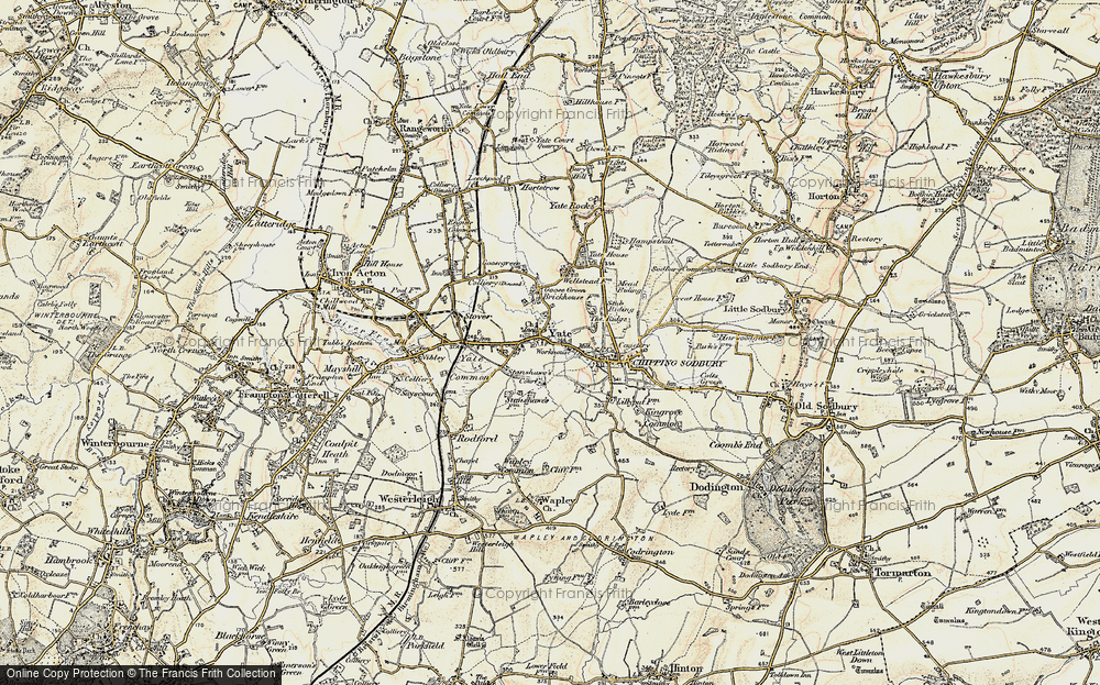
- Chipping Sodbury, Avon
- South Chingford, Greater London
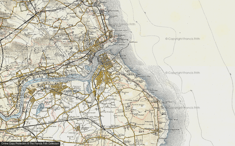
- South Shields, Tyne and Wear
- Ayr, Strathclyde
- St Donat's, South Glamorgan
- Llanblethian, South Glamorgan
- Thornbury, Avon
- Llandough, South Glamorgan
- Fonmon, South Glamorgan
- St Nicholas, South Glamorgan
- Jarrow, Tyne and Wear
- Penmark, South Glamorgan
- Font-y-gary, South Glamorgan
- Maybole, Strathclyde
- Yate, Avon
- Oxford, Oxfordshire
- Torquay, Devon
- Newquay, Cornwall
- Salisbury, Wiltshire
- Bournemouth, Dorset
- St Ives, Cornwall
- Falmouth, Cornwall
- Guildford, Surrey
- Bath, Avon
- Looe, Cornwall
- Reigate, Surrey
- Minehead, Somerset
- Bude, Cornwall
Photos
5,607 photos found. Showing results 1,301 to 1,320.
Maps
2,499 maps found.
Books
23 books found. Showing results 1,561 to 23.
Memories
1,580 memories found. Showing results 651 to 660.
Roller Skating At South Park
Christine, I also used to skate at South Park. I was a member of a roller skating club, along with Tim Tong, the Chinese man you mention in your post. A lovely man, who I bet is STILL skating. I still have my ...Read more
A memory of Darlington in 1969 by
Working In Pelham Rd South
In 1955 I worked in Brands bakery as a shop assistant. We were allowed to eat any cakes that were damaged. Gee an awful lot got damaged! I then moved along the road to a paper shop/tobacconists for 2/6d more. From ...Read more
A memory of Northfleet in 1955 by
Osterley Park
In 1930 I was born at Northumberland Avenue, Isleworth: parallel to the Great West Road and behind St Francis Church. As Osterley Park was so near I used to play, with my chums, frequently in the grounds of the park. We had many ...Read more
A memory of Osterley in 1945 by
The Co Op In Conway Street Corner Of Cathcart Street
My first job when I left school (St Hughes, Park Road South) at 15 was in this shop. I was there for 3 years, until I left for bigger money at Levers. The manager was Jack Francis, a decent ...Read more
A memory of Birkenhead in 1961 by
1932 1973
I feel a bit of a gatecrasher here, as I've been living in Suffolk since 1973! Basically though, even though I'm a wrinkly/pensioner, I'm a South Suburban Surrey Boy, through and through! Born 1932 in 144 Garendon Road, our postal ...Read more
A memory of Morden by
Scackleton C Of E School
Mine is not so much my memory as an account of the doings/correspondance relating to Scackleton School from Sept 17th 1928 to the early 1930s. I picked up this school log book in a junk shop 30 years ago and it's just ...Read more
A memory of Scackleton
Memories And The Tunnel
I remember the loyalty to family and friends who worked at the pit. My grandfathers (Frickley) did, my father was a fitter and turner there at South Kirkby colliery. I miss the place. I remember digging a hole with my ...Read more
A memory of South Kirkby in 1969 by
Schooldays And Teens
Lowfield Heath School. 21 pupils. Head Teacher, Miss Ryde, and assistant Miss Ivy Walder. Miss Walder later married Bob Riley. Where are some other pupils now? I remember Margaret Dudman, David Slaughter, Barbara ...Read more
A memory of Lowfield Heath in 1946 by
Tracing Any Descendents Of Sarah And David Davies
I've just recently started to build my family tree and my family on my maternal side comes from Garnant, South Wales. My mother's name was Olive Nora Dicks, she was born in Garnant in 1924, she had ...Read more
A memory of Garnant by
Parc Slip Explosion And My Memories Of Aberkenfig
Parc Slip Exposion – 26th August 1892 and-My memories of home life and school On the morning of Friday the 26th August 1892 an explosion occurred at Parc Slip Colliery, The Fountain, ...Read more
A memory of Aberkenfig in 1890 by
Captions
2,476 captions found. Showing results 1,561 to 1,584.
Looking South This photograph shows the wide carriageway of Cricklade Road leading to Stratton Crossroads, with the junction of Beechcroft Road to the left and Whitworth Road to the right.
The bypass on the south side of town was opened in 1926; it was much needed to relieve the narrow streets of both local china clay and through traffic.
The pass is said to have taken its name from a large rock which looks like a gable end of a church.This view looks south towards Troutbeck, with the shoulder of Broad End on the left.
The church itself was extensively remodelled in 1879-90, and further work was done in 1908 when the south aisle and porch were rebuilt.
Abbot Hall was then rebuilt, and it was considerably extended in 1868, when the tower and south west wing were added.
We are looking down from the Triangle, and we can see the Freeman, Hardy & Willis shoe shop on the left, AJ Perham's Hair Cutting Rooms on the right, and the South Western Gas Board at the end of the street
The main residential block, including the great hall, was sited along the south side of the inner curtain wall.
Also nearby and out of view is the Scott Polar Research Institute, founded as a memorial to Captain Scott and his colleagues who died in their expedition to the South Pole.
Although the harbour is accessible in all states of the tide, south-easterly winds cause a heavy swell to enter the harbour, necessitating caution when navigating the entrance.
So proclaimed the South Wales Echo in its December 1956 review of the facility. At this time, Wales's most modern teaching hospital could boast 379 beds, with an aim to reach the 1000 mark.
The church dominates views from the south while behind it, to the north, are the remains of the Norman motte and bailey castle. Remarkably, the brutally pruned lime trees survive.
George Lynn advertises his wares with considerable vigour on the south side of the triangular square, originally called Cross Bank.
Situated four miles south-west of Swansea overlooking Swansea Bay, Oystermouth derives its name from a Norman/English corruption of Ystmllwynarth.
To the south of the village, brick making has been an important local industry.
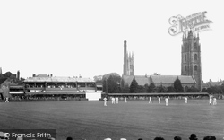
The headquarters of Somerset County Cricket Club, founded in 1875, lie on the south bank of the River Tone; although the grandstands are much changed, the arched one still in essence survives.
A mile south-west we come to Athelney, a name redolent of Anglo-Saxon history.
This view is taken from the steps up to the sea wall behind the dunes, and looks across the small resort of Sandilands, just south of Sutton on Sea.
The Roman Catholic church was designed by the famous architect Welby Pugin, and other places of worship were Holy Trinity at South Shore and Christ Church.
A young boy pushes a handcart towards the camera on this street running south towards the church of St Peter, as two elegantly hatted ladies drive their pony and trap past a sunbathing dog on the pavement
South of Redhill, east of the A23 Brighton Road and west of the M23 motorway, Salfords has avoided much of the development that has affected less isolated parts of this area.
Now further down Bridge Street, Frith's photographer was looking south uphill past the Newcastle Street crossroads.
We are looking south towards the church of St Giles, which dates from the early 13th century; the war memorial stands behind aptly named Dunkirk Avenue on the left.
In medieval times, the Mowdens and the surrounding district were all part of Clun Forest, and subject to Forest Law in much the same way as the New Forest in the south of England.
Nowadays, new estates or developments have streets named according to some irrelevant theme - anything from Cumbrian lakes to South American countries.
Places (15471)
Photos (5607)
Memories (1580)
Books (23)
Maps (2499)


