

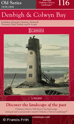
Denbigh & Colwyn Bay Old Series Sheet Map

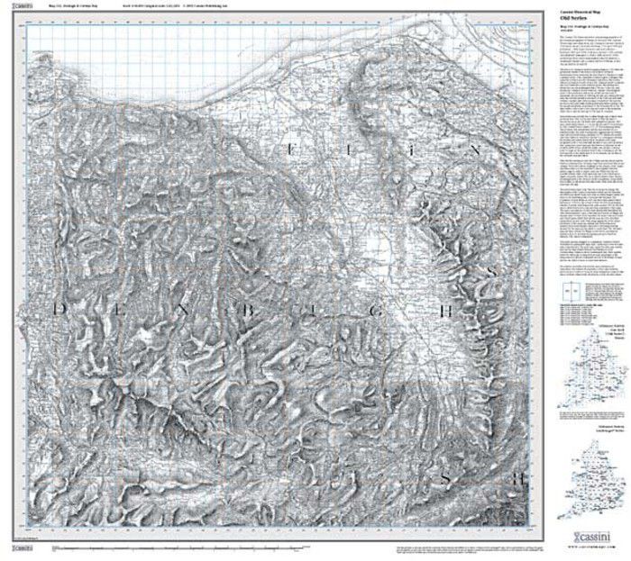
These maps are based on Britain's first national mapping project, Ordnance Survey's One-Inch (‘Old Series’) maps which were first published between 1805 and 1874. They have all been carefully scanned, digitally re-projected and enlarged to match the present-day Ordnance Survey Landranger® series. Each Old Series map is directly comparable with the corresponding Ordnance Survey Landranger® and uses the same sheet number and grid references, so enabling the past and the present to be compared with ease and accuracy. All the Old Series maps of England & Wales (123 in all) have now been published. Old Series maps have the same name, reference number and coverage as the appropriate modern day Ordnance Survey Landranger®.
About This Map
- Format:
- Folded Sheet Map
- Map title:
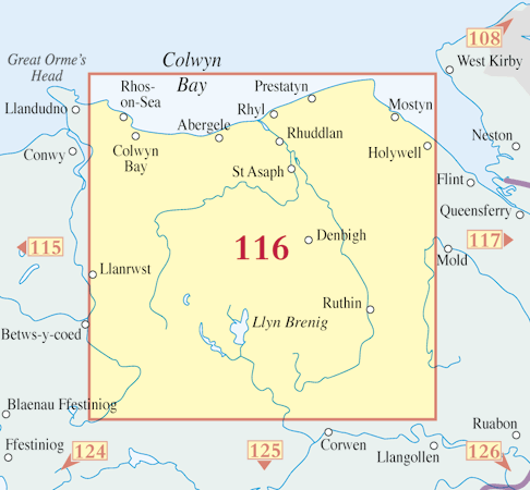
- Denbigh & Colwyn Bay
- Size:
-
Folded: 13.5cm x 22.5cm (approx. 5" x 9")
Opened: 100 cm x 89 cm (approx. 39" x 35") - Series:
- Old Series Sheet Maps
- Map year:
- 1838
- Sheet No.:
- 116
- Coverage:
- 42 x 24 miles (Approximate)
- Places:
- See covered places
- Map ISBN:
- 978-1-84736-045-8
- Delivery:
-
Printed to order: up to 7-10 working days
Express delivery is unavailable.
Buy flat/framed
This map is also available as a flat sheet with an optional choice of frame too!
Buy Flat, Framed or on Canvas >>

