Places
26 places found.
Those places high-lighted have photos. All locations may have maps, books and memories.
- Cemmaes Road, Powys
- Six Road Ends, County Down
- Road Weedon, Northamptonshire
- Severn Road Bridge, Gloucestershire
- Roade, Northamptonshire
- Berkeley Road, Gloucestershire
- Harling Road, Norfolk
- Road Green, Devon
- Builth Road, Powys
- Cross Roads, Yorkshire
- Steele Road, Borders
- Cross Roads, Devon
- Four Roads, Dyfed
- Road Green, Norfolk
- Biggar Road, Strathclyde
- Clarbeston Road, Dyfed
- Five Roads, Dyfed
- Eccles Road, Norfolk
- Grampound Road, Cornwall
- Morchard Road, Devon
- Wood Road, Greater Manchester
- Four Roads, Isle of Man
- St Columb Road, Cornwall
- Clipiau, Gwynedd (near Cemmaes Road)
- New Road Side, Yorkshire (near Silsden)
- New Road Side, Yorkshire (near Cleckheaton)
Photos
14,329 photos found. Showing results 2,281 to 2,300.
Maps
476 maps found.
Books
5 books found. Showing results 2,737 to 5.
Memories
11,058 memories found. Showing results 1,141 to 1,150.
Cranbrook Fisheries
My dad used to run the fish shop in Cranbrook Road (Cranbrook Fisheries), it was opposite Gaysham Avenue, with Warwick Doubles on the corner. I went to school at Gearies Junior School and grew up in and around Barkingside and ...Read more
A memory of Barkingside
My Dads Shop
I always remember my dad's tuck shop in Idle, we were the end cottage on Albion Road next to the school. I was only 5 years old when we moved away but it's funny how memories, even at such a young age, stay with you. I remember walking what ...Read more
A memory of Idle in 1963 by
Gas Works Also Public Baths In Adderley Road Saltley
I lived in Ash Road Saltley, you could see the Gas Works from our back garden. My dad worked there for years, he used to stand on some steps and wave to me. I also remember the public baths in ...Read more
A memory of Saltley in 1957 by
The Travellers Rest Pub
I am trying to find the history of the Travellers Rest pub, Leadsham Road. I have been told it was once called The Drum And Monkey but don't have any dates is there anyone out there that has any old pictures or photos or can help with dates? If so, please contact me.
A memory of Little Sutton by
Pit Village In My Youth
My name is Ken Orton and I lived in Thornley from 1947 until 1974, the year I married. I was born in Shadforth but my parents moved from there to Thornley when I was about one month old. We lived at 72, Thornlaw North until ...Read more
A memory of Thornley by
Babbacombe In The 1950s 60s
I grew up in Babbacombe in the 1950s and 60s and it was such a friendly busy place with the local shops Stephens and Bowdens the two greengrocers, Canns the fishmongers, the butchers and of course the fish and chip shop ...Read more
A memory of Babbacombe in 1959 by
Bruce Grove School Royal Tottenham
I would love to hear from folk who like me went to Bruce Grove School. I went there from 1936 until 1944 when I left school, then danced at the Royal Tottenham. I lived in St Margaret's Road. I remember Ron West ...Read more
A memory of Tottenham in 1940 by
Mum
My mother was born in Sandy Lane, at the very top of the road above Hutchinsons Chemists!
A memory of Skelmersdale
Growing Up
My sister Pat and I lived first in Sutherland Road then Monument Lane. We went to Granville Secondary Modern in Stone. I loved growing up in Tittensor as it was a lovely village, my best mate was Sandra Wagg. My maiden name was Powell. It would be nice to hear from anyone who lived there.
A memory of Tittensor in 1960 by
Lymm Parochial C Of E School
We moved to Lymm from Altrincham soon after the war when my mother remarried (she was a war widow). It was lovely having a new Council house which had a bathroom and inside toilet - I had been used to an outside toilet and ...Read more
A memory of Lymm in 1947 by
Your search returned a large number of results. Please try to refine your search further.
Captions
5,036 captions found. Showing results 2,737 to 2,760.
A fine panoramic view of east Coulsdon shows the extent of the development in the late 1920s and 1930s in Marlpit Lane, Bradmore Way and neighbouring roads.
The old village of Woodmansterne is behind the photographer, who is looking towards the Chipstead valley via the switchback road of Chipstead Way.
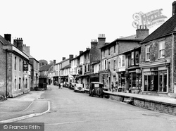
In this view the photographer looks along Fore Street past The White Hart; on the opposite side of the road there is a raised pavement.
It is a most interesting church; you will find it down a lane to the right off the busy London Road, the A30.
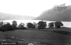
At this time the road to Mardale village ran along the west side of the lake.
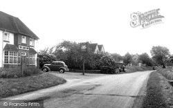
A little further along the road towards East Hanney is the 1930s Lamb Inn. Beyond it, the pair of gables belong to one of a crescent of 1950s council houses.
Cuckfield Park is still a landmark from the A272, the road that leads to the village of Bolney.
Clifton House occupies the corner of Fox Hollies Road and Olton Boulevard East, and had probably been only recently completed when the photograph was taken.
This Roman road runs from the mouth of the River Humber in the north-east of England to Devon in the south-west. So you could say that it has been on the tourist route for thousands of years.
The road that crosses the bridge leading out of Lechlade brings the traveller to Inglesham, which has a Saxon church that was much admired by William Morris.
The main A59 road from Liverpool to Preston runs through the centre of the village, and at the far end, rises over the Leeds and Liverpool Canal.
Townsend Farm overlooks a junction where the lane to East Quantoxhead leaves the main road.
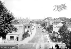
the railway was widened, the new Star Inn was incorporated into the Havana, Times Furnishers building, and the site of W Muskett the grocer was occupied by the gas showrooms in a widened Eastern Road
This road makes its way down to a bridge over the River Colne, from which this village also takes its name.
Note the caravan on the left beyond the 'torch of learning' school road sign.
The pub garden has extended out to the side road, and a petanque pitch has appeared where the tree stood behind the railings, on the left.
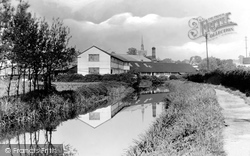
The industrial complex is the tannery of Edward Stow, established in Milton Road from 1896 to 1904. There are maltings against the skyline to the right.
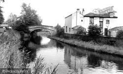
Grappenhall has two of the characteristic narrow hump-backed bridges designed to carry road traffic over the canal.
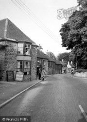
The road out takes you back to Frome.
A few decades ago, before universal car ownership, the Black & White coach company organised evening jaunts from its station in St Margaret's Road, Cheltenham to this popular hilltop hostelry.
This is the main road that links Ironbridge with Coalbrookdale, the place where the Industrial Revolution really did start in 1709 when Abraham Darby I discovered a method of smelting iron
With a half-hipped timbered frame, visible at the gable end, and attic windows plus roadside flowers, early 16th- century Anthorn Cottage continues to give character to Blandford Road in
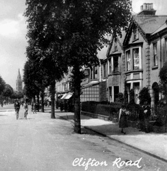
Clifton Road, a quiet road in the 1950s, and now a busy thoroughfare, leads to the village of Clifton-on- Dunsmore.
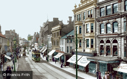
Before the town council renamed it Queen Street, this road was called Crockherbtown, allegedly because the monks of Greyfriars used to grow pots of herbs here. The last Cardiff tram ran in 1950.
Places (26)
Photos (14329)
Memories (11058)
Books (5)
Maps (476)


