Places
Sorry, no places were found that related to your search.
Photos
Sorry, no photos were found that related to your search.
Maps
7,034 maps found.
Books
163 books found. Showing results 3,433 to 3,456.
Memories
22,912 memories found. Showing results 1,431 to 1,440.
Crompton County Secondary Modern School. (T''central)
t'Central stood at the junction of Kings Road & Moor Street, almost on the bend.Compared to the junior school it seemed very modern and had only been open about twentyfive years. It had a ...Read more
A memory of Shaw in 1947
Holiday Park
I am from Brigend, South Wales, and for some reason my mother decided on our summer holidays to take us to the Isle of Sheppey, why at this time we would travel that (in those days) distance I do not know. I was 16 and my sister ...Read more
A memory of Leysdown-on-Sea in 1964 by
St. Mary's High School
I'm wondering if anyone remembers St. Mary's High School in Western Road. I attended the school when I was very young in 1946-9, before my family emigrated first to Canada, then to the USA. My best friends were Zena O'Shea, ...Read more
A memory of Romford in 1949
Looking For Someone From Carshalton
Hi, my mother-in-law, Barbara Linford was a student at Carshalton (or Sutton General - are they the same?) from 1961-1964 I think. Does anyone remember her? She was very close to a young Dr Bhatia as well and we'd be keen to see if anyone remembers him and knows anything of him now??
A memory of Carshalton in 1963 by
Nelson Crescent
I was born at 15 Nelson Cresent, Percy Main on 29 April 1952. I was the youngest of 5 children of my parents Henry and Edna May Lake. My sisters were Elizabeth Beryl, Patricia Heather, Veronica Norah and Edna May. I grew up at the ...Read more
A memory of Wallsend in 1952 by
Moving To Whitefield
I moved to Whitefield from Birmingham just before my 5th birthday. We went to live on Hill Top Close. We lived at the last house and there was nothing but fields for miles. I went to school on the bus every morning as it ...Read more
A memory of Whitefield in 1952 by
Chelmsford, Tindal Street, 1919
This shows the view looking up Tindal Street from the London Road end. In the centre of the photo you can see a sign sticking out. This you can just make out is the Spotted Dog public house which was there until that ...Read more
A memory of Chelmsford by
Gretna School
Does anyone have any school photos of the 1950s at Gretna Township School, later Gretna High School, Scotland?
A memory of Mossband Ho in 1955 by
Northfields, Witley
As a child on holiday with my aunts, uncles and grandma who lived at Northfields (where the post office is situated by the main road), I would spend many happy times buying pens, pencils, notebooks etc. I remember a Mr Bannister used to run the shop then.
A memory of Witley in 1951 by
1950 1967
I was a 5 year old when we moved into the new housing estate in Northolt, we lived at 31 Rushdene Crescent. Then always it seamed that we had long hot summer holidays, playing in the woods, or in the sand pit (ex army firing range) or over ...Read more
A memory of Northolt in 1950 by
Your search returned a large number of results. Please try to refine your search further.
Captions
9,654 captions found. Showing results 3,433 to 3,456.
The crossroads at Milnthorpe was well known to motorists travelling to Scotland or the Lake District on the A6 before the advent of the M6 motorway.
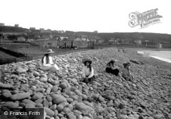
The Pebble Ridge at Westward Ho! has much to commend it as a defence line against the Atlantic Ocean, which rolls relentlessly in its attempt to reclaim Northam Burrows which lie behind.
New Canal commemorates one of the many open waterways which ran through the medieval streets until the 19th century. The largest of the waterways was known as Town Ditch and was filled in 1875.
New Canal commemorates one of the many open waterways which ran through the medieval streets until the 19th century. The largest of the waterways was known as Town Ditch and was filled in 1875.
Industry came early to Rugeley. There was a forge in the area by 1273, and glassmaking was well established by the early 14th century.
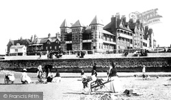
Here we see St Mildred's Hotel and the beach, with Victorian ladies and children at play. Note the picnic hamper on the right.
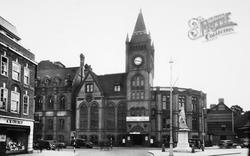
In this view the right hand wing of the Town Hall has been demolished, and Thomas Lainson's 1882 wing can be seen at the left.
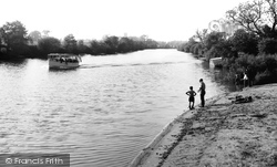
A pleasure boat crowded to the gunwales chugs serenely up the river at Fulford, just south of York on the Ouse.
The Market Hall with its clock tower is on the right.
Wootton Courtenay's stores, now a villagers' co-operative, lies opposite the one in this picture - at the end of the middle block on the left.
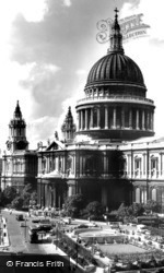
In the 1950s part of the bombed land around the cathedral was designated for open space to enhance the view of Christopher Wren's masterpiece.
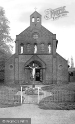
The Church of the Most Holy Redeemer opened in 1919. Its predecessor was St Edith's - a house of Ursuline Sisters at the southern end of the High Street.
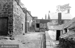
This area of Down'long near the present day Mariners' Church at Norway Square has changed considerably since this photograph was taken over 100 years ago.
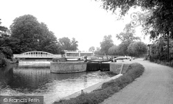
North-east of Cambridge, the River Cam quickly becomes wooded on either side, setting an attractive scene here at Baits Bite Lock.
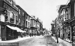
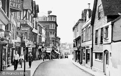
This street is known for its fine timber buildings, many with a conspicuous overhang.
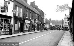
Note the abundant cigarette advertising in the shops in King Street, and the steam roller at the bottom of the street (centre).
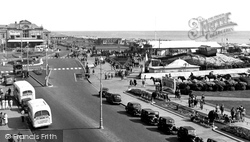
The Royal Aquarium, to the left, was built in 1875 to house a skating rink and aquarium: it later became a cinema.
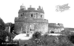
The castle was built in 1542 by Henry VIII to protect the harbour along with the fortifications at Pendennis and St Anthony. The Royalists held it for Charles I, but not for very long.
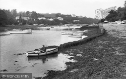
A few miles south of Truro, Feock is picturesquely situated at the junction of the Carrick Roads with Restronguet Creek. Its Victorian church, St Feoca, has a detached tower.
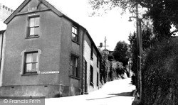
Windmill Hill leads up from the site of the old West Gate, demolished at the start of the 19th century but remembered in the pub of the same name.
The coming of the railways and the subsequent growth in Formby's population led to a number of new places of worship being built.
The Pebble Ridge at Westward Ho! has much to commend it as a defence line against the Atlantic Ocean, which rolls relentlessly in its attempt to reclaim Northam Burrows which lie behind.
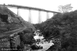
The London and South Western Railway built their Exeter to Plymouth line to the north of Dartmoor through Okehampton.
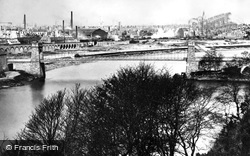
The narrowing of the river at this point shows clearly why the bridge was built here.
Places (0)
Photos (0)
Memories (22912)
Books (163)
Maps (7034)


