Places
5 places found.
Those places high-lighted have photos. All locations may have maps, books and memories.
Photos
Sorry, no photos were found that related to your search.
Maps
15 maps found.
Books
Sorry, no books were found that related to your search.
Memories
98 memories found. Showing results 11 to 20.
Memories
I was born in South Ockendon Cliff Place (Julie Harding) I had 3 sisters Vera, Brenda & Margaret. We are all still living but old age is creeping up. I remember some of the names mentioned. My close friends in Ockendon were Ann ...Read more
A memory of South Ockendon by
Mitcham County Grammar School For Boys
Mitcham County Grammar School for Boys Remembered Memory is a selective thing, the best is easy, but the mind glosses over the worst. Some things recollected as certainties turn out to be not quite so. These are ...Read more
A memory of Mitcham by
Doddlebugs And V2s Plus!
I moved to Lymington Road, Dagenham, in 1939, across the road from the school. At first I attended Green Lane School - same as Dudley Moor. I even had the same piano teacher. Miss Hoggard. But she gave up on me. In the early ...Read more
A memory of Dagenham by
My Days In Rosedale Abbey
My Life in Rosedale Abbey - Raymond Beharrell During the last war my brother and I lived in York very near to the main railway yards. The area was always on the target for the German bombers, being railway sidings. ...Read more
A memory of Rosedale Abbey by
The N.H.S. Early Years To Retirement
The Transport Department at Southmead Hospital when I joined them consisted of an officer, foreman, and four porter drivers, with two buses, three vans, and two cars. We were responsible for supplying ...Read more
A memory of Bristol in 1960 by
My Dad
I remember the snows of 1963, I was four, looking out of our bedroom window on Camp Road and the snow was drifted up to the windowsill! Gorgeous memories of our bedroom fire making shapes on the ceiling and being warm as toast as me and ...Read more
A memory of South Kirkby in 1963 by
Claywood And The Teem Valley Home 1949 To 1969
How wonderful to hear of one of my dear friend's memories of 1960s Menith Wood. Although I was actually born at "Eardiston" Farm called Moor Farm, in one of the converted barns in 1949, I spent all ...Read more
A memory of Menithwood in 1960 by
Wartime Memories Of Hay Part Two
Memories of Hay during the Second World War: Part Two. (Continued from Part One) Thoughts of 'Dad's Army' remind me that the local Home Guard occasionally used Forest Road for some kind of exercise. I've dim ...Read more
A memory of Hay-on-Wye in 1940 by
Memories Of Colden Common
I have never heard of this person, although he makes reference to some people, and places in Colden Common I knew. So if anyone who knows him ever comes across this then I have been some help! COLDEN COMMON? Oh, yes - ...Read more
A memory of Colden Common by
Village Policeman
In the late 1950's I was the village policeman at Great Waltham. The police house was the last two-storied house at the Barrack Land end of Cherry Garden Road with my 'office'being in the kitchen and the tsble there was my ...Read more
A memory of Great Waltham in 1959 by
Captions
69 captions found. Showing results 25 to 48.
Along the river frontage are boat yards, moorings and maltings.
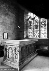
As part of the Temple Moore restoration of the church, the De Brus Cenotaph was reassembled to look as far as possible as it would have been in the days of the priory.
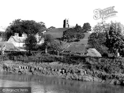
Two miles south-west of Othery, the Taunton Road skirts the Mump, a natural tor rising steeply from the surrounding Moors.
Closely connected with the Bailiwick was the Box Moor Trust, which to this day is still responsible for some 400 acres of land to the south-west of the old town.
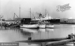
The cross-channel packet 'Londres' is ready to leave for Dieppe beyond the moored fishing boats. A cargo ship is visible on the left.
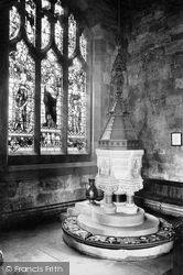
In the north-west corner, Temple Moore designed a window with tracery to match that of the old three-light east window, which he had relocated to the south-west corner.
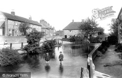
Lord's Mill was one of the main watermills along the Chess south-east of Chesham and is behind the photographer who is looking over the Moor Lane bridge parapet.
Continuing south-west, the route reaches North Curry, a village on the low ridge that separates West Sedge Moor from the Tone valley.
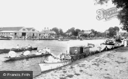
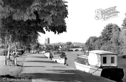
East of Marlow, where the river bends south, Townsend's and Shaw's boatyards and their wharves were a focus of boating activity in the heyday of the late Victorian and Edwardian boating boom.
Away to the right are the south lodges to Moor Park, a pair of small lodges linked by a Tuscan Doric arch. From this viewpoint these are now hidden by young oaks.
From North Curry, we skirt the south edge of West Sedge Moor to the town of Langport on the east bank of the River Parrett.
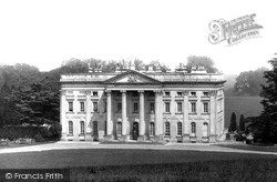
Moor Park was built in the 1720s for the banker and South Sea Bubble profiteer Benjamin Styles.
Inside, the 14th-century north aisle has octagonal granite piers, while the 15th-century south aisle has piers of Polyphant stone with carved capitals.
The village of Quernmore is three miles south-east of Lancaster. Quernmore Park Hall lies just over a mile north of the village.
These views take us downstream towards the bridge from the south. We
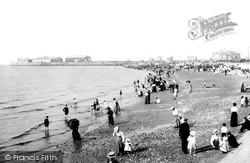
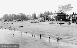
The just-paddling brigade stayed south of the Stone Pier, which was still a busy working port. It would continue to be so until Heysham opened in around 1904.
Preston was always a town that you had to pass through to go north to south, but as the popularity of Blackpool increased, so did the traffic east to west.
Preston was always a town that you had to pass through to go north to south, but as the popularity of Blackpool increased, so did the traffic east to west.
During 2005 Lincolnshire Development, part of Lincolnshire County Council, prepared a bid for European funding under Objective 2 for the Boston Southern Enterprise Zone in the Marsh Lane area south
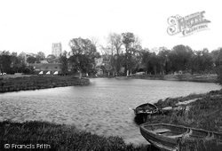
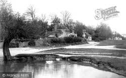
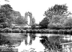
The Monks' Pond (or lake) lies to the south east of the priory ruins on Whitby Lane.
In the days when sail reigned supreme, this was once the main harbour town in south-east England, servicing ships moored in the shallow waters of the Downs, between the treacherous Goodwin Sands
In the days when sail reigned supreme, this was once the main harbour town in south-east England, servicing ships moored in the shallow waters of the Downs, between the treacherous Goodwin Sands and
When the King blockaded Hull in the Civil War, a military battery was built just to the south of this picture.
In the south, huge pits were dug for china clay, an industry that continues today, and all over the moor granite was quarried for building stone.
Places (5)
Photos (0)
Memories (98)
Books (0)
Maps (15)


