Places
2 places found.
Did you mean: the broad or the brooks or the broats ?
Those places high-lighted have photos. All locations may have maps, books and memories.
Photos
222 photos found. Showing results 341 to 222.
Maps
9 maps found.
Books
2 books found. Showing results 409 to 2.
Memories
463 memories found. Showing results 171 to 180.
Evacuation To Harrington
I was born in Liverpool in 1932 from Cumbrian parents. In September 1939, just after the begining of the Second World War, my sister and I were packed off to High Harrington, as a sort of private evacuation, to the home of ...Read more
A memory of Harrington in 1930 by
1960''s Kidderminster
My dear old hometown. I was 18 when this picture was taken. The Swan pub is on the left, and the Co-Op is where the blinds are. Just around the corner from The Swan was a broad flight of steps leading up into the market ...Read more
A memory of Kidderminster by
Notting Hill. London W.11 [ Originally Notting Dale ]
I was born in 1944 in Great Haywood, Staffordshire, but grew up in Notting Hill. I lived in a prefab in Lancaster Road, W.11. My childhood was full of happy memories and although, as with everyone ...Read more
A memory of East Ham in 1954 by
Butlins Staff 1976 `77
I had lost my son in a road accident and my marriage broke up. I was a qualified nurse and applied for the post of nurse at Butlins in 1976 (it was very hot that summer). I was the night nurse for two seasons. I met my ...Read more
A memory of Skegness by
First Job On Mitcham Council
When I left Singlegate School in 1952, my first job was wih the Mitcham Council Nurseries situated on a road south of the Common. I recall mostly weeding flower beds and washing pots. I did go on occasions in the van to ...Read more
A memory of Mitcham by
The Railway
I was born in 1941 in Cefncoed House, Pentwyn, overlooking Gwys Railway Station, Upper Cwmtwrch. I lived there for 7 or 8 years before moving to the Gurnos, Lower Cmwtwrch. My family lived in a compound made up of five houses built ...Read more
A memory of Upper Killay in 1940 by
My Home Town 1947 1969
I was born in Liebenrood Road Maternity Hospital Reading in 1947 and for my first 5 years I lived in Salisbury Road, moving to Whitley until I left in 1969. I remember as a young child having many photographs taken at Jeromes ...Read more
A memory of Reading by
Temple Sowerby
My grandparents Lol (Lawrence) and Edith Johnston owned and operated the Black Swan Inn for many years. I would love to find out some family history, their son Tom emigrated to Australia in 1964, I was 2 and my sister 1 ...Read more
A memory of Appleby-in-Westmorland by
Houseboat Ml106 1926 36
Between 1926-36 my grandfather's family lived on an ex WW1 motor launch, known as the ML106, which was moored off Bursledon. My aunt recalls that they were the only ML moored mid river between the bridges, certainly in ...Read more
A memory of Old Milton by
Slough Safety Town The Teds
I remember going to Slough on a Saturday night in 1958. I was fifteen years old. My hair was well greased and combed back at the sides and ending in a D.A. at the back together a quiff at the front. I was dressed in my ...Read more
A memory of Slough in 1958 by
Captions
458 captions found. Showing results 409 to 432.
Wash Road was a road of many farms: Watch-House, Mundell's, Petchey's, Benson's, Puckle's, Sellers, and Laindonponds.
One of the reasons why Robin Hood's Bay proved to be a popular haunt for artists is the picturesque cluster of red-roofed cottages perched somewhat precariously on the cliffs.
The estate belonged for many years to the Sheldon family.
On the right can be seen the public house the Ham Tap, and also Mr Elson's greengrocer shop. Outside is his delivery bicycle.
The stone gateposts of Hunter's Bar (see picture No S108224) had a second career after the toll bar was finally closed in October 1884; they were resited at the entrance to Endcliffe Park.
The Horse and Groom together with the next two buildings made way for a road; the Queens Head inn now occupies a corner of the new road - Queen Street.
Between the wars, Brighton boomed: by the mid-1930s it was packed at weekends.
Botley Station (entrance on the left of the photograph), which is approached via Mill Hill, is well outside the village. One descends to it from a road bridge.
The former toll house was demolished as part of a road-widening scheme, and access to and from West Street was blocked to traffic in the interest of safety.
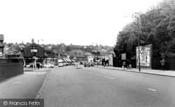
Few traffic controls are in evidence at the southern end of the shopping area in about 1960.
The village of Bramber probably dates from the building of its Norman castle, since there is no evidence of a pre-Conquest settlement.
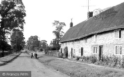
We can almost feel the peace and tranquillity typified by a road deserted apart from a solitary horse-drawn delivery cart, standing near an attractive row of brick-built thatched cottages.
Chantries were added to the original structure by the 14th Baron Greystoke, who built the first Greystoke Castle.These had painted oak screens, which were removed during the Reformation, giving the
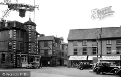
The buildings on the left are still there, including the timber-framed building, which still has an estate agent's occupying the ground floor.
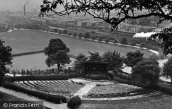
More rooftops, a passing steam train (they were being replaced by diesel- powered locomotives at this time) and the sweep of the park express progress. The bandstand has arrived.
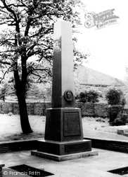
Originally unveiled at Forgeside in 1960, this obelisk in memory of Sidney Gilchrist Thomas is now at the Blaenavon ironworks.
However, after Joseph died, it took ten years of legal wrangling before the money (£30,000) was handed over.
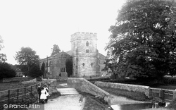
Greystoke Church dates from the 13th century. Chantries were added to the original structure by the 14th Baron Greystoke, who built the first Greystoke Castle.
Prior to 1935, all that would have been seen from in front of the church would have been the top of the church spire.
Originally unveiled at Forgeside in 1960, this obelisk in memory of Sidney Gilchrist Thomas is now at the Blaenavon ironworks.
Crown Hill was the setting for an unusual wager in 1936: a Grays confectioner was bet that he could not cycle backwards up the 1-in-7 road.
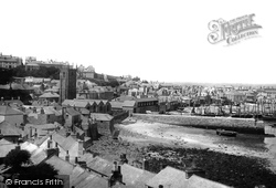
The church could hardly be closer to the sea. Many of the buildings can be recognised today, but they are now separated from the water in the harbour by walls supporting a road and a walkway.
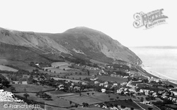
The majestic sweep of the fertile fields down to the coast is also marked by the workings and spoils of man's need for the stone that is quarried from the mountain on this stretch of the coast.
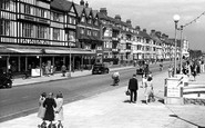
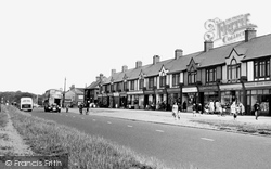
A busy parade of shops with distinctive gables line the road at this point. Several prams can be seen outside, and a child rides happily on the pavement on a tricycle.
Places (2)
Photos (222)
Memories (463)
Books (2)
Maps (9)


