Places
36 places found.
Those places high-lighted have photos. All locations may have maps, books and memories.
- Bangor, County Down
- Newcastle, County Down
- Greyabbey, County Down
- Donaghadee, County Down
- Downpatrick, County Down
- Portaferry, County Down
- Dromore, County Down
- Hillsborough, County Down
- Downings, Republic of Ireland
- Killyleagh, County Down
- Ardglass, County Down
- Rostrevor, County Down
- Dundrum, County Down
- Newtownards, County Down
- Warrenpoint, County Down
- Ballygowan, County Down
- Ballywalter, County Down
- Ballyward, County Down
- Bishops Court, County Down
- Boardmills, County Down
- Culcavy, County Down
- Katesbridge, County Down
- Killough, County Down
- Millisle, County Down
- Portavogie, County Down
- Saul, County Down
- Seaforde, County Down
- The Diamond, County Down
- Audleystown, County Down
- Kearney, County Down
- Annaclone, County Down
- Ballyhalbert, County Down
- Ballymartin, County Down
- Clare, County Down
- Conlig, County Down
- Dollingstown, County Down
Photos
856 photos found. Showing results 381 to 400.
Maps
459 maps found.
Books
2 books found. Showing results 457 to 2.
Memories
8,167 memories found. Showing results 191 to 200.
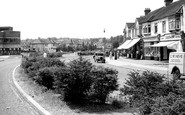
Coney Hall 1950/60s
This picture brings back many memories. I was born in 1953 and lived in Coney Hall until 1972, attending school at Wickham Common and then Hawes Down Secondary. The view from where this picture was taken is not dramatically ...Read more
A memory of West Wickham by
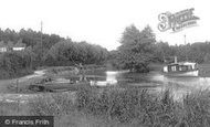
Mytchett Road
My aunt and uncle used to own a large old house in Mytchett Rd. It had a long driveway leading down to an orchard and fields, where my cousins and I would spend many happy hours. In one field was a large pond with a willow tree on the ...Read more
A memory of Mytchett in 1957 by
My Great Grandfather
The man in this photograph is quite possibly my Great-Grandfather. The family name is 'Wye' and he was the lock keeper at St. Catherines lock during the late 1800's early 1900's the family lived in the lock keepers cottage on ...Read more
A memory of Guildford in 1900 by
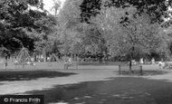
Playground Apparatuses
How wonderful to have my memory jogged by the lovely pictures of Clapham Common. After school, most days we (my brother Lance) and my mother would have such fun. We would play spot the park keeper, (always nicely turned ...Read more
A memory of Clapham in 1962 by
Madeley As It Was
I was born in 1949 in Victoria Road, Madeley and have many memories of life as it was in the 1950's onwards. I remember Jones' buses, Pooles the cobblers, Carters, Stodd's the Drapers, Shums the chemist, and most ...Read more
A memory of Madeley in 1949 by
Arthog
From early 1960s onwards: At school in London we had 2 summer holidays at Min-y-Don. The first time we travelled by coach, we got lost and arrived in the dark. The following year we came by train from Paddington. We had to change at Gobowen ...Read more
A memory of Arthog by
Pear Tree Farm
My dads family the "Boltons" lived on a farm called Pear Tree Farm. I thought from memory they owned it but now after research I think they just lived there as workers? I remember walking down a country lane not far from there and ...Read more
A memory of Herne Bay in 1960 by
39londonroad
I was born in Hackbridge in 1944. I lived there until 1953 when my grandparents, aunts, uncles, and cousins put me on a plane on May 2 to join my father who had emigrated to Canada the year before. My mother, who had lived in ...Read more
A memory of Hackbridge in 1944 by
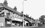
"Any Old Iron"
This photo brings back lots of memories for me as it shows High Road, Woodford Bridge which is where the old-fashioned ironmongers that my family owned was situated. There had been one on the site since the beginning of the 20th ...Read more
A memory of Woodford Bridge in 1974 by
The Shore Of Wood And Glass
Eynort shore is not the prettyist in the west, but it's washed up some odd things from time to time, Both myself and my brother have found messages in a bottle, and a least half a dozen bombs or old test missiles which all ...Read more
A memory of Eynort
Captions
2,242 captions found. Showing results 457 to 480.
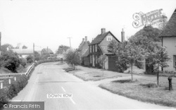
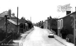
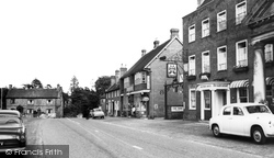
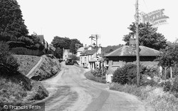
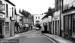
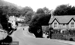
The view down the High Street has changed very little, but the increased volume of traffic has brought traffic lights to the junction with the road to Over.
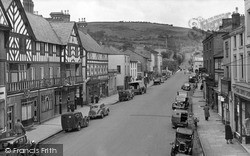
Aptly named, this wide street wends its way down to the river. In the foreground stands the Bear Hotel, formerly The Bear's Head, built around 1868, with its mock-Tudor façade.
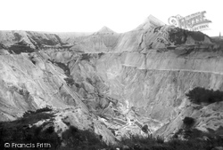
Down the years, pyramids of waste have scarred the landscape above St Austell, creating an eerie, lunar atmosphere.
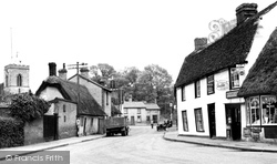
Down by the crossroads is the Six Bells public house, while to the left, the church is one of only two in England dedicated to Saint Vigor.
Following the transfer of the mail boat service to Dun Laoghaire, Howth harbour had by this time settled down to a quiet existence.
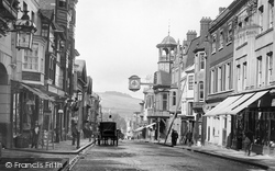
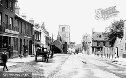
This classic view looks west down High Street to the Wey valley and beyond to Guildown (The Mount).
The men standing at the door on the left are customers of the Lion Inn, which burned down on 8 November 1908 and was never rebuilt. The Congregational Chapel in the background was built in 1831.
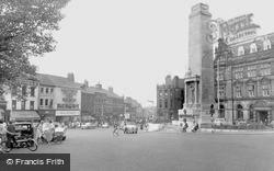
Stand by the Burton monument and look down the High Street to compare this photograph with the scene today. The Lion and Lamb on the right has changed its name, and is now called Fridays.
Here we are looking east towards the hill down to the Hamble River. On the right we have Robertson, a chemist, and the local post office adding to the many shopping facilities for the inhabitants.
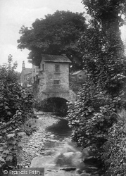
Easily the most famous and most photographed building in Ambleside is Bridge House, a tiny one-up, one-down building constructed on a bridge over the Stock Beck.
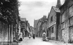
This lovely street, fringed with cobbles, leads down to the White Lion Inn and the old church, where the poet William Cowper, 'England's sweetest and most pious bard', was laid to rest.
This view looks from Market Square down Friargate.
It has spectacular views of the South Downs and Chichester Cathedral, and contains paintings by Canaletto, Van Dyck and Stubbs.
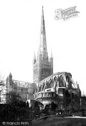
The Lady Chapel became ruinous in the 16th century and was pulled down.
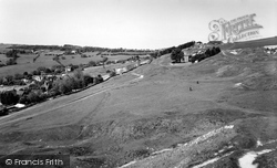
The landscape here is a fine example of the continuing denudation of the Cotswold Scarp; it is of great interest to geologists, as the outlying peaks and downs were once connected to the
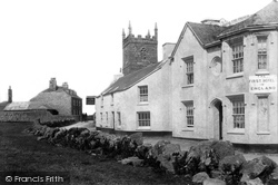
This bleak, wind-blasted village, the most westerly in England, is known locally as Church Town. The low granite tower of St Senana looks down on the first and last hotels in England.
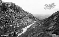
Behind the Cow and Calf rocks is this desolate valley from where most of the stone to build the town was quarried.
In 1905 it became the duty of the hotel boots boy to pull and tie down a cord which silenced the quarterjacks during the hours of darkness.
This photograph is taken from the spot where the Job Centre now stands, or the car park just down the hill.
If one needed refreshments, the Tea Cosy Cafe was a little further down the street. All the buildings on the right-hand side were soon to be demolished and the site redeveloped by Boots.
This photograph appears to show a quiet village where nothing much happens apart from an amble down to the post office to buy a few stamps.
The summit at 1083 feet is at the head of West Down at the southern point of Cleeve Common.
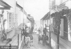
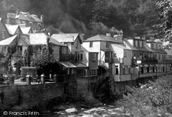
This pretty village was the scene of a major disaster in 1952 when the East and West Lyn rivers, swollen by torrential rain, cascaded down demolishing all in their path.
The High Street becomes Fore Street as it heads down towards the river Exe. The street today is a mass of shops and attractive buildings, none more so than Tuckers Hall.
Places (198)
Photos (856)
Memories (8167)
Books (2)
Maps (459)


