Places
36 places found.
Did you mean: street or streetly ?
Those places high-lighted have photos. All locations may have maps, books and memories.
- Heathfield, Sussex (near Cade Street)
- Street, Somerset
- Chester-Le-Street, Durham
- Adwick Le Street, Yorkshire
- Scotch Street, County Armagh
- Friday Street, Surrey
- Potter Street, Essex
- Boughton Street, Kent
- Newgate Street, Hertfordshire
- Streetly, West Midlands
- Shalmsford Street, Kent
- Green Street Green, Greater London
- Boreham Street, Sussex
- Park Street, Hertfordshire
- Cade Street, Sussex
- Appleton-le-Street, Yorkshire
- Hare Street, Hertfordshire (near Buntingford)
- Romney Street, Kent
- Trimley Lower Street, Suffolk
- Streetly End, Cambridgeshire
- Hare Street, Hertfordshire (near Stevenage)
- Brandish Street, Somerset
- Colney Street, Hertfordshire
- Langley Street, Norfolk
- Silver Street, Somerset (near Street)
- Street, Yorkshire (near Glaisdale)
- Street, Lancashire
- Street, Devon
- Street, Cumbria (near Orton)
- Street, Somerset (near Chard)
- Bird Street, Suffolk
- Black Street, Suffolk
- Ash Street, Suffolk
- Broad Street, Wiltshire
- Brome Street, Suffolk
- Penn Street, Buckinghamshire
Photos
24,921 photos found. Showing results 2,021 to 2,040.
Your search returned a large number of results. Please try to refine your search further.
Maps
1,622 maps found.
Books
3 books found. Showing results 2,425 to 3.
Memories
6,667 memories found. Showing results 1,011 to 1,020.
Blackwell!
I once found the long lost "Blackwell" in Blackwell Street, Kidderminster......It was very large, and very deep..... it was around 1967-68 time! We had to locate it as it was somewhere beneath the location of the proposed Swan ...Read more
A memory of Kidderminster in 1968
Next Best Thing To The Toy Shop!
The next best thing to the toy shop was Guyatts Pet shop, almost at the top of Queens Road on the right hand side of the street. On the right hand side of the shop was a pathway that lead to a back yard that may ...Read more
A memory of Buckhurst Hill by
Albert Road
Born in 101 Albert Road moved to Charlton House and lived in flat No.38; the Whitby's, Streets, Watsons, Sullivans, Corrs, Reynolds, Ryans, Butchers, were all my neighbours. I went to St Marys School, Granville Road then ...Read more
A memory of Kilburn in 1950 by
Childhood Memories
My sister Margaret and I would walk from our "Yarford Cottage "through the US army camp at Tetton Park on our way to school which was then next to the church. Charlie Barrett was the game keeper, Captain and Mrs Pawson ...Read more
A memory of Kingston St Mary in 1943 by
Memories Of Aberkenfig
I think this was in the mid fifties. We lived at 15 Dunraven Street and at the top of the street there was quite a steep hill (it's all closed off now) and at the top of the hill was an entrance to the Forestry Commision ...Read more
A memory of Aberkenfig by
Fort Street (1950s)
Fort Street, in North Motherwell, was a very close-knit community in the 1950's, which is why I still remember the following names: Mr and Mrs Darroch lived at number 21 with their children John, Denise and Keith. Mr Bill Rae, ...Read more
A memory of Motherwell by
Cannon Street
I remember Mr & Mrs Warrington, (I lived with my aunt and uncle who still live opposite their house) they were a lovely couple. Mr Warrington always dapper in his blazer and Panama hat, puffing on his pipe, he always raised his hat ...Read more
A memory of Patricroft
10 Dalton Square Now Where The Town Hall Is Located
My Great Great Grandmother Jane Oversby worked for a widow, Mrs Margaret Rossall, who lived at 10 Dalton Square, Lancaster. I visited Dalton Square and counted the houses from 2 - 9; then sent down ...Read more
A memory of Lancaster by
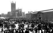
1973 Demolition Year For The Market Buildings
I arrived in Wolverhampton when demolition of the market buildings was under way. The buildings in front of the church (in the photo) must have already been long gone, but the buildings on the side of ...Read more
A memory of Wolverhampton
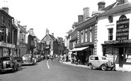
Ringwood High Street Circa 1955
I can remember as seven year old having to stay with my Aunt Louise Topp in the house above the closed Butchers shop Topps next to the National Provincial Bank building on the left side of the high street,the balcony ...Read more
A memory of Ringwood by
Captions
5,435 captions found. Showing results 2,425 to 2,448.
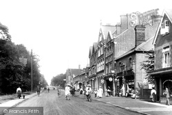
We are in Heathcote Road, looking down the High Street, with the grounds of the Staff College visible in the background.
London Road and the High Street were the main shopping areas in the early 1900s. The roads were still made of compressed dirt, and motor vehicles were uncommon.
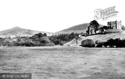
A less widely used path is that below the castle walls on the right, which winds around from the main entrance to Mill Street.
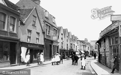
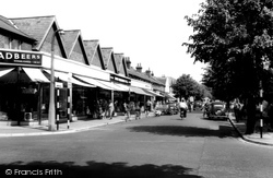
At the western end of the High Street we see the shops of the smaller retailers and specialist craftsmen.
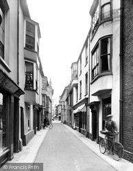
Originally named after its fine view overlooking the jetty, this street retained its name when the pier was built.
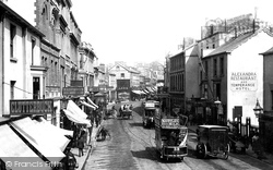
Here we see the open-top trams of the High Street to Morriston and Cwmbwrla service. Horse-drawn until the turn of the century, the trams provided much manure for Swansea gardeners.
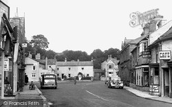
Leyburn, once the largest community in mid Wensleydale, boasts three squares, the largest of which is the sloping, rectangular Market Place, from which the High Street seen here leads.
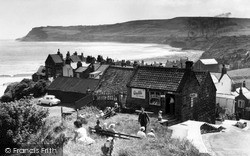
Looking down the steep Main Street of Robin Hood's Bay, across the pantiled roofs of the picturesque village to the sweeping curve of the bay and the headland of Old Peak or South Cheek in the background
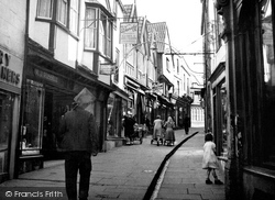
The houses lining Cheap Street date mainly from the 17th century, but some are earlier.
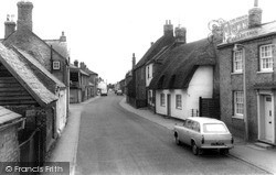
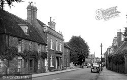
The small 18th-century thatched cottage was perhaps built at the same time as the rather grand red brick house further up the street.
Two doors away at 55 High Street, previously known as Victoria Villas, was T H Webb the grocer's, which used these premises from 1928 until 1970.
This view looking back towards the Greyhound shows the High Street before the major developments of the 1980s and 1990s.
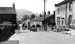
We are looking down the Main Street of the charmingly-named hamlet of Appletreewick in Wharfedale, with the prominent 1,550ft fell of Simon's Seat in the background.
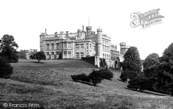
Lambton Hall is situated to the north-east of Chester-le-Street. Work began in the late 1790s, when William Henry Lambton had an old castle on the site dismantled.
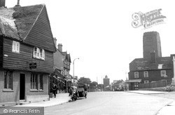
On the right, the warm, brown fletton brick tower of Sir Giles Scott's Roman Catholic church of Our Lady of the Assumption soars above the surrounding buildings lining the broad street.
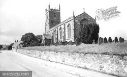
The church of St Peter, in North Street, has a superb Norman doorway, possibly the best in the county (so the experts say), and the church has further Norman architecture inside.
This view shows Castle Street before its partial redevelopment in the 1960s.
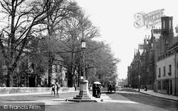
This view is along Eastgate, east of the crossroads with Northgate (‘gate’ being Danish for street, rather than gate) and Minster Yard.
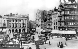
This famous junction was once known as Regent Circus and developed out of Nash’s elegant modelling of Regent Street.
A horse and carriage approach from the direction of the High Street.
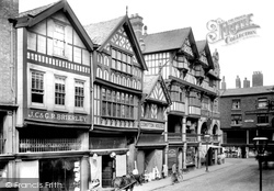
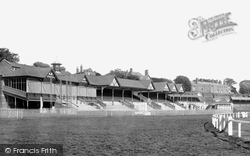
Beyond Watergate Street is the Roodee, Chester's race course, where the Chester Cup is raced for every May.
Beyond Watergate Street is the Roodee, Chester's race course, where the Chester Cup is raced for every May.
Modern Eastleigh is a grid pattern of late 19th-century and early 20th-century streets, with typical suburban fringes stretching out towards Southampton and Winchester.
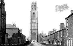
Tower Street, its houses mostly mid-Victorian terraces and semi-detached villas, some dated 1879 and 1880, has its vista closed by one of England's most stunningly effective buildings: the Boston Stump
Places (385)
Photos (24921)
Memories (6667)
Books (3)
Maps (1622)


