Places
36 places found.
Those places high-lighted have photos. All locations may have maps, books and memories.
- Bangor, County Down
- Newcastle, County Down
- Greyabbey, County Down
- Donaghadee, County Down
- Downpatrick, County Down
- Portaferry, County Down
- Dromore, County Down
- Downings, Republic of Ireland
- Hillsborough, County Down
- Killyleagh, County Down
- Ardglass, County Down
- Rostrevor, County Down
- Dundrum, County Down
- Newtownards, County Down
- Warrenpoint, County Down
- Ballygowan, County Down
- Ballywalter, County Down
- Ballyward, County Down
- Bishops Court, County Down
- Boardmills, County Down
- Culcavy, County Down
- Katesbridge, County Down
- Killough, County Down
- Millisle, County Down
- Portavogie, County Down
- Saul, County Down
- Seaforde, County Down
- The Diamond, County Down
- Audleystown, County Down
- Kearney, County Down
- Annaclone, County Down
- Ballyhalbert, County Down
- Ballymartin, County Down
- Clare, County Down
- Conlig, County Down
- Dollingstown, County Down
Photos
1,089 photos found. Showing results 1,361 to 1,089.
Maps
459 maps found.
Books
47 books found. Showing results 1,633 to 1,656.
Memories
8,148 memories found. Showing results 681 to 690.
My Paper Round
I worked as a paper boy at Newby's in Taunton Lane. I got up at 5 am and went to the shed behind the shop to sort and mark-up the papers. I then did 2 rounds before school for 6/- a week per round and 5/- for the marking up; a ...Read more
A memory of Old Coulsdon in 1959 by
Great Haseley
I was five when I moved to Great Haseley from Newington, near Stadhampton, with my mother, father and brother. The year was 1957 and Horse Close Cottages was a new housing estate - we were thrilled to have a bathroom and an inside ...Read more
A memory of Great Haseley by
St Albans Summer Holidays In The 1950s
A child from Thanet taking annual last week of August holidays with an adored great aunt at Chiswell Green, travelling by train to Victoria Station, London, taking the Greenline to ...Read more
A memory of Frogmore in 1953 by
The Brook
Wonderful memories! It was awonderful place to have grown up. I learned to swim in the brook, aged about 11 years. I wonder who wrote the following which I was taught in school. Very appropriate! "Little stream flowing ...Read more
A memory of Gayton by
Fitba In The Big Park
I was born in Suttislea in Nitten in 1947 but my sister and I emigrated to Gowkshill when I was 2 (I think) and lived at 18 Pentland Avenue till I married Isobel from Bonnyrigg when I was 21. I grew up with the Weighands and ...Read more
A memory of Gowkshill by
Old Manor Cafe
My memory of Blackwater started when I was 14, for those of you who don't know what the Old Manor was, it was a transport cafe, which stood on what is now a supermarket site, on the right, at the junction with Rosemary Lane. In the ...Read more
A memory of Blackwater in 1960 by
Before The Town Centre Was Built ...
My family came to Basildon in 1957 as part of the overspill from London. My late father was a toolmaker and was offered a job and a house. Money was tight and we made out own entertainment. Collecting wood from the ...Read more
A memory of Basildon in 1957 by
Things I Remember
Greenford market, that's where the buses terminated. If you were quick you could jump off the back of a bus at the corner when it turned into Windmill Lane, that way if the bus was going further than the market it saved you ...Read more
A memory of Greenford in 1975 by
Cooksons Leadworks Part 2
1965. During my time working here I carried out a number of different jobs, one was to make Zinc ingots, my shift would start with my furnace fired up and there next to it would be my "charge" this would be a pile of old ...Read more
A memory of Newburn in 1965 by
Higher Bebington Road
I grew up in Higher Bebington Road, my mum lived there from 1957 up until she died in 2008. I have seen so many changes. When we were kids we would pond-dip in the ponds on the fields at the back of the Oval now football ...Read more
A memory of Bebington by
Captions
2,258 captions found. Showing results 1,633 to 1,656.
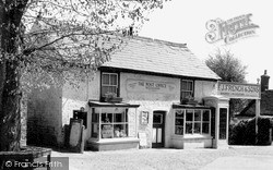
The wall on the right was knocked down and a garage built. This disappeared in 1997, replaced by a pretty park. The Post Office has gone, and the Westward Ho!
This is a 16th-century building par excellence, much altered and added to down the centuries; it is timbered, tile hung and jettied, and bears a cluster of tall chimneys.
We are on the slope of the Downs between Eastbourne and Polegate. A nearby vantage point at Combe hill is 638 feet high.
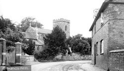
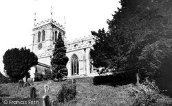
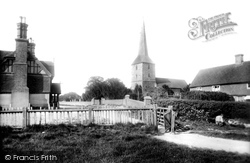
The building is of about 1300 with an unbuttressed west tower of 1707, when its spire was taken down. As
During World War II it and the distinctive iron railings were dismantled and stored, thus escaping being melted down for Spitfires, and reinstated in 1949.
From this view it is obvious that the town occupies a ridge between the two rivers: the land drops to the Great Ouse (see the previous views) and to the Ouzel, as we see here - this view was
The Town Hall is down Duke Street on the right.
The old town of Cliffe, destroyed by fire in 1520, was revived briefly by the cement industry in the second half of the 19th century.
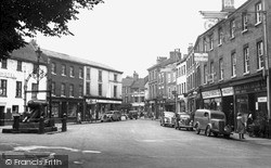
This view looks down towards the Cross from the A46 Bath Road. At the bottom of the slope is the clock tower and George Street, in which is found one of the largest kettles in the country.
We are looking east down the wide sweep of Swaledale, where we can reflect on the beauty of this, the quietest of the northern dales.
Most of the shops on the right have awnings pulled down to protect their wares and produce from the sun.
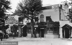
The building seen in the photograph appears as an atmospheric drinkers' dream pub, with its low doorway stepping down into a dark panelled bar, with its inevitably yellowy-brown smoke-stained ceiling.
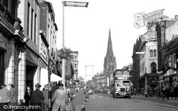
A bus to Pedders Lane and Ashton-on-Ribble plies down Fishergate, but so busy has Preston become, that drastic alterations in regulating traffic have had to be made.
The view shows the centre of Domesday Anstige, as the road drops down from the heights of Bradgate Park.
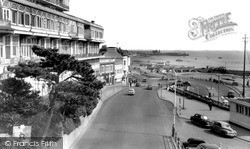
Pier Hill leads down to the sea front esplanade, with the Palace Hotel on the left. Below the hotel, facing the sea, are many small shops.
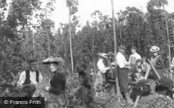
During the first half of the 20th century, whole families from the poorer parts of London travelled down to the hop picking areas of Kent for a week or two's 'holiday' whilst earning money hop picking
On the right, sitting down amongst his wares, we can just see a basket-maker at work.
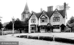
rough-cast, three-storied and three-gabled public house was built in 1615 beside the 12th-century flint church of St John the Evangelist, and its ales quenched the thirst of race-goers who flocked to Merrow Downs
close to Cheltenham that it is often mistaken as a suburb; but there is nothing suburban about it, for it has plenty of old-world charm and the identity of a long-established village in its own
We are looking westwards down East Hill, towards the parish church (centre).
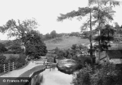
The lock chambers on this canal had their own individual size, 64ft 9in x 9ft 2ins – a most peculiar gauge. The canal became disused in 1930.
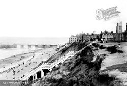
It can be a long dangerous slide down the tiered sea walls to the sands and pier. The smart new flight of steps allowed ladies in long dresses to make a dignified descent.
At this time, local industry was closing down; Bacup, which was off the beaten track, was looking for residents to commute to work in Burnley, Manchester or other towns.
There was still an empty beach, apart from a few out-of-season bathing machines, between the town and its northern hamlet which begins with Cliff Cottage and Shore Cottage (upper left
Places (198)
Photos (1089)
Memories (8148)
Books (47)
Maps (459)


