Places
36 places found.
Those places high-lighted have photos. All locations may have maps, books and memories.
- Brierley Hill, West Midlands
- Old Hill, West Midlands
- Westhill, Grampian
- Westhill, Yorkshire
- Westhill, Highlands
- West Hill, Yorkshire
- West Hills, Tayside
- West Hill, Staffordshire
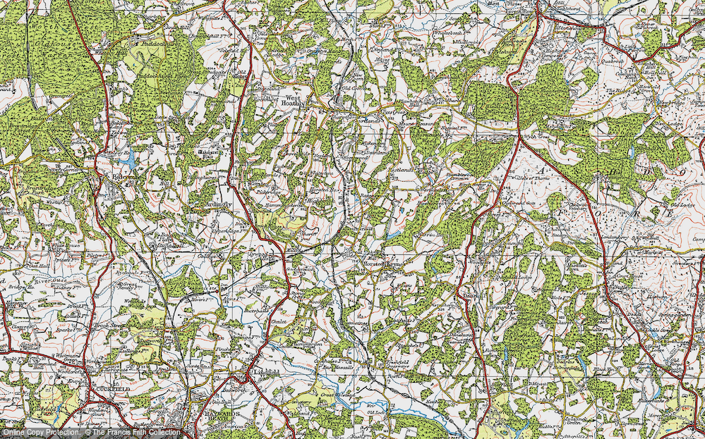
- West Hill, Sussex (near Haywards Heath)
- Elrick, Grampian (near Westhill)
- West Hill, Avon (near Nailsea)
- West Hill, Somerset (near Wincanton)
- West Hill, Devon (near Ottery St Mary)
- Hill, West Midlands
- West Hill, Greater London
- West Hill, Wiltshire (near Melksham)
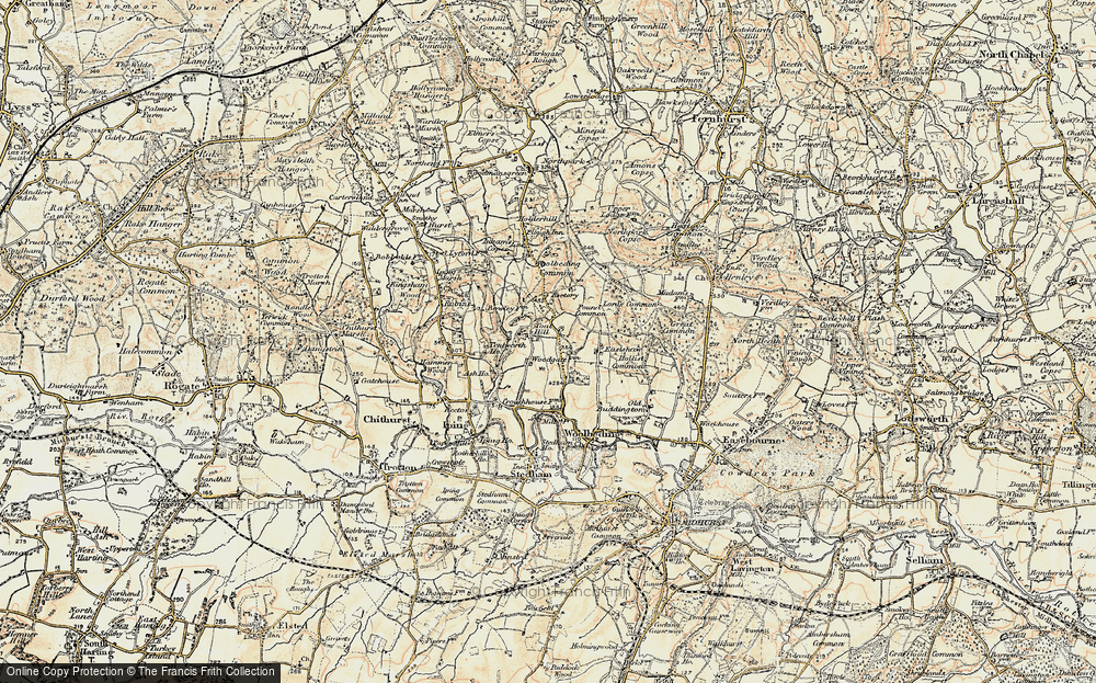
- West Hill, Sussex (near Hastings)
- Colton Hills, West Midlands
- Lodge Hill, West Midlands
- Hill Wood, West Midlands
- Woodcock Hill, West Midlands
- Eve Hill, West Midlands
- Gravelly Hill, West Midlands
- King's Hill, West Midlands
- Tile Hill, West Midlands
- Tudor Hill, West Midlands
- Balls Hill, West Midlands
- Church Hill, West Midlands
- Gibbet Hill, West Midlands
- Hill Hook, West Midlands
- Primrose Hill, West Midlands
- Merry Hill, West Midlands
- Ley Hill, West Midlands
- Tower Hill, West Midlands
- Hill Top, West Midlands
- Hurst Hill, West Midlands
Photos
36 photos found. Showing results 61 to 36.
Maps
90 maps found.
Books
1 books found. Showing results 73 to 1.
Memories
408 memories found. Showing results 31 to 40.
Dunsmore People And Happenings Remembered
PREFACE TO THE SECOND EDITION In 1995, when the first edition of this history was published, it seemed incredibly optimistic to have had three hundred copies printed for a market which was ...Read more
A memory of Dunsmore by
Evacuation
We were evacuated to North Molton during the Second World War, I remember going to the school and being billeted in various homes, one on the hill near a baker's shop - what lovely smells. I also remember the Lysander plane that crashed ...Read more
A memory of Swimbridge in 1940 by
My Childhood In Knatts Valley
I was born in Knatts Valley, in a bungalow belonging to George and Elsie Lines of Lynwood, friends of my mother and father. George became my Godfather, and one of my names is also George. I was supposed to have been ...Read more
A memory of Otford in 1940 by
Summer Holidays
The sun always seemed to shine on our annual summer holiday to my grandmother's at Emmanuel Road. What excitement running down West hill to the town and the beach. There was always a ride on the boating lake, you could smell the ...Read more
A memory of Hastings in 1955 by
Happy Days
Oh the memories stored away!! Charlie's opposite Cove Green, going there for sweeties on a Sunday, Cove Green (not as good as Tower Hill swings though!), Mundays closing at 1pm on Sundays, Thorntons with its yellow facade, and wool etc, I ...Read more
A memory of Cove in 1965 by
Westhill Schoolww Ii
Miss Wade was the head mistress of the infants and the girls school. Miss Snell and Miss Jolly were the infant teachers, both out of retirement. In the boys juior school the teachers were Miss James, a new teacher she made the ...Read more
A memory of Dartford in 1940 by
A Day At Alum Chine In The 1960s
It's a few minutes before 8.30am, and I've just returned with the newspaper for Dad bought from the Riviera Hotel next door. I have to rush downstairs again in time to ring the gong for breakfast - Mr Lacey, ...Read more
A memory of Westbourne in 1966 by
Sittingbourne To Australia
My name is Margaret. I was born in Park Road, Sittingbourne on 18.4.45. My parents were Flossie and Cyril Neaves. My dad worked as a machine man in the Sittingbourne paper mills and my mum worked fruit picking in the ...Read more
A memory of Sittingbourne in 1971 by
The Steel Houses
Having lived in Brymbo in a very damp two up two down house in 'The Green' my parents were 'over the moon' to be given a new three bedroomed house; 23, Bryn Hedd, Southsea, (which means peaceful hill) became their home for ...Read more
A memory of Southsea in 1950 by
Early Memories
My birth on 30 Nov 1946 at 34 Oldberry Road, Burnt Oak, is where it all started for me, but my mother & her parents moved into the house when it was built for the LCC. She's 89 now, but recalls that she, as a 9-yr-old in 1928, ...Read more
A memory of Burnt Oak in 1946 by
Captions
198 captions found. Showing results 73 to 96.
The Church of St Mary stands at the top of the hill above the old Cluniac Priory of Prittlewell.
The main axis of the principal roads consists of the Roman east-west artery, now the High Street, and one of the Roman north-south roads, now North Hill and Head Street.
Another view from Castle Hill, this time looking west.
Further west along Main Street, looking towards Lyme Regis, the plateau of Langdon Hill forms the skyline (centre).
The main street of Alllington village (bottom left) leads into this panorama of Bridport town, looking south-east from Allington Hill, with the outer parish's St Swithun's Church being the prominent building
Windmill Hill leads up from the site of the old West Gate, demolished at the start of the 19th century but remembered in the pub of the same name.
The Church of St Mary stands at the top of the hill above the old Cluniac Priory of Prittlewell.
Windmill Hill leads up from the site of the old West Gate, demolished at the start of the 19th century but remembered in the pub of the same name.
This view looks west from Aberamffra Hill and harbour, just east of Barmouth.
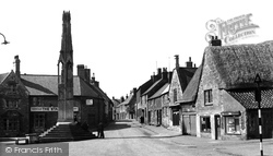
We are now standing in a position to the east of the Cross and are looking towards West Street, with Church Hill on the immediate right of the pantiled lean-to building and the Star Inn
The Lion Enclosure was one of those specifically accommodated into a natural feature of Castle Hill.
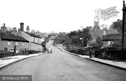
There was no traffic on Taylor Hill, Cawthorne when this picture was taken, and the parked car was the only sign of life, apart from the two pedestrians on the right.
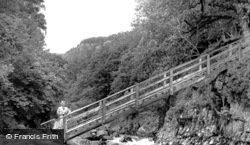
A popular destination of walkers, it was built to allow the miners of Pentre Du to reach the mines in the hills; a mile west of Betws-y-Coed, paths lead through the meadows to this steeply-inclined gangway
Doddington receives many visitors, for Doddington Hall, although privately owned, is often open to the public.
This view looks north- westwards from Horseman's Hill.
In this view of the seafront just west of the harbour, a lone wagon stands on the siding from the Aberdovey Harbour branch line.
This view at Butt Brow north-west towards Combe Hill across Willingdon Bottom is part of the four thousand acres previously owned by the Duke of Devonshire that the corporation of Eastbourne have managed
We are now standing in a position to the east of the Cross and are looking towards West Street, with Church Hill on the immediate right of the pantiled lean-to building and the Star Inn
As a break from a succession of market towns, the route heads north-west to Buckland St Mary, situated just north of the A303 and at the east end of the well-wooded Blackdown Hills.
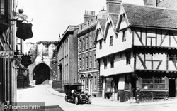
Reaching the top of Steep Hill, the photographer looks west from Exchequer Gate, the medieval gatehouse into the cathedral close, towards the Castle gatehouse.
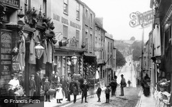
From the north-west corner of Market Place, Town Street descends the hill past a drapers, a dairy utensil manufacturer and a shoe shop, all three displaying their wares.
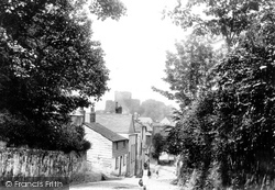
Race Hill was once the main road into Launceston from the south; it leads down to the South Gate, which is the last remnant of the old town walls.
A popular destination of walkers, it was built to allow the miners of Pentre Du to reach the mines in the hills; a mile west of Betws-y-Coed, paths lead through the meadows to this steeply-inclined gangway
Looking North-West This part of the village is known as Lower Wanborough, and lies 3 miles east of Swindon.
Places (53)
Photos (36)
Memories (408)
Books (1)
Maps (90)


