Places
7 places found.
Those places high-lighted have photos. All locations may have maps, books and memories.
Photos
264 photos found. Showing results 221 to 240.
Maps
28 maps found.
Books
Sorry, no books were found that related to your search.
Memories
357 memories found. Showing results 111 to 120.
Chapel Lane Milford
In 1944 a bomb dropped not too far from our home in East Barnet, Hertfordshire, so Mum and I went to stay with her Mum and Dad, Alice and Bill Tulett at 3 Chapel Lane, Milford (now No.10 I think) where Mum was born in 1907. Bill ...Read more
A memory of Milford in 1944 by
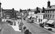
Shopping In Newmarket On Saturday
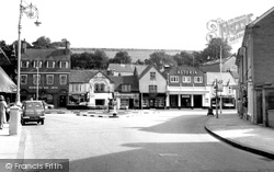
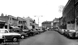
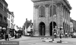
SATURDAY MARKET DAY IN NEWMARKET, exactly how I remember it as a 5 year old. On the left next to the Rutland Arms in the center left of the picture was a small street called Palace Street. My father was born here ...Read more
A memory of Newmarket by
East Ham From 1958
I was born and raised in East Ham and was very proud of it. We lived in Friars Road off the Barking Road and moved to Lincoln Road off High Street North. The postcards brought back memories of home. East Ham used to be a very ...Read more
A memory of East Ham in 1958 by
Memories Of My Childhood In Rossington.
My story starts on the 1st of March 1950, the date of my birth at Doncaster Royal Infirmary. My parents Jack & Mary Flather lived in Old Rossington at 65 Haigh Crescent, living with relatives (Guy) ...Read more
A memory of New Rossington in 1950 by
Once An Idyllic Dorset Village.
Since about the 1960s, Child Okeford became a totally different community from the one I first got to know in the early 1930's. The Watts (Harry and Dorothy) had farmed out of Laurel Farm for many decades and ...Read more
A memory of Child Okeford in 1930 by
Smallbridge And All That
The place name comes from a narrow bridge over a stream that forms the boundary between Rochdale and Wardle on Halifax Road, by The Red Lion pub as it was then. Folk who lived in Smallbridge were once called "Sandknockers" ...Read more
A memory of Smallbridge in 1940 by
My Chldhood Times
Hi, I was born and brought up in Dipton, I lived in Annfield Street with my dad, Tom Bell, and my nanna, Maria Bell. I went to St Patricks RC School and have good memories of my time there with a few of the teachers being nuns. My ...Read more
A memory of Dipton in 1956 by
Buckhaven In The Late Thirties And The 50's
In the late thirties, my mother worked as a dispatcher in Stuarts Bakery in Church Street just down from the junction with Randolph Street. This building has been closed down now for many years. In the ...Read more
A memory of Buckhaven in 1950 by
The Snooty Fox
Hello Ted I was just looking through the old photos of Warminster when I saw your comment. You may well have found out by now that the Snooty Fox was indeed the Globe public house at the junction of Fore Street and Chapel Street. ...Read more
A memory of Warminster in 1962 by
School Days
We lived in Langrish village, but seeing there was no school there we had to take the public bus to East Meon School. I remember the first and last days at junior school in East Meon. The school building was made from local flint ...Read more
A memory of East Meon in 1950 by
Captions
439 captions found. Showing results 265 to 288.
Moving west, the route passes through Merstham, a village of two parts: the older part lies west of the railway, and to its east is a large former London County Council housing estate of the 1950s
The market town of Bedale is just a few miles to the north-east of Masham.
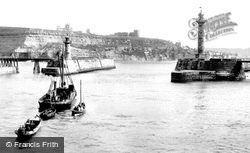
This panoramic view of Henrietta Street and East Cliff was probably taken from the West Pier extension.
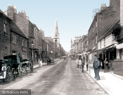
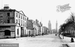
We are looking east towards the town centre; the Market House dome is just visible at the end of the street.
The East India Harbour was completed in 1806-07, the Victoria Dock opened during the 1850s and the Albert Dock followed a decade or so later.
Looking east from Blucher Street this view shows how steeply the chalk hills rise behind the town, still undeveloped.
There was at one time another line down to Rawtenstall, joining what is now the East Lancashire Preserved Railway. As well as having three railway lines, the town also had three turnpike roads.
East of photograph N251008, Frith's photographer looks along Church Street with the 15th-century tower of St Michael's church on the right. Unusually, its lower stage is open and serves as a porch.
The camera is looking along Church Street, which curves away uphill to the village square of Ticehurst, another Wealden iron-making village.
This view looks east towards the High Street, past the Post Office on the right.
Not much more than St James's Street is left of Dunwich, once the seat of the Saxon king of East Anglia, and once one of the greatest and most prosperous ports in the country.
East of Gainsborough the Market Rasen road climbs the Lincoln Cliff, the limestone ridge which runs due north from Lincoln at about two hundred feet above sea level.
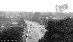
This street, where we are looking towards the town from the east, still possesses this fine mixture of architectural styles.
The church tower presides over the east end of Fore Street, where two prams and a barrow are the only wheeled traffic on a sunny day.
Cranbrook's High Street, entering the town from Hawkhurst, and Stone Street, leading on towards Tenterden and Maidstone, form a L-shape with the tile-hung fascia of the 15th-century George Hotel at
The south-west side of Ware High Street changed drastically when it was decided to build a new Tesco Store in 1960.
The Macclesfield Canal passes through the outskirts of Congleton, complete with an elegant iron aqueduct where it crosses Canal Street, and several attractive bridges.
Cranbrook's High Street, entering the town from Hawkhurst, and Stone Street, leading on towards Tenterden and Maidstone, form a L-shape with the tile-hung fascia of the 15th-century George Hotel at
In this view the photographer was looking left into East St Helen Street and right into the start of the High Street.
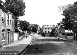
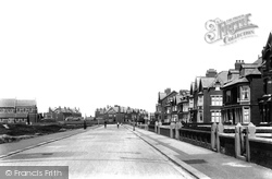
Here we see a clean and spacious street with no traffic. The buildings were all good quality brick with stone cappings and gate posts.
This view looks east as in U10017 (p37) from the area known as the West End. Here, the High Street splits into three roads: to Leicester; to South Back Way and to Stockerston.
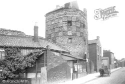
The Blackfriars, otherwise known as the South-East Tower, was used in the 19th century as a shop at street level with accommodation above—there was even a small cottage built on top.
This view looks east from Bridge Street, past the Market House and along into Bell Hill.
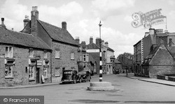
A lone carriage is parked on the other side of the street from the newly-built Red Lion Inn. Just beyond, down the road, is J J Bacon's Stores.
Places (7)
Photos (264)
Memories (357)
Books (0)
Maps (28)


