Merry Christmas & Happy New Year!
Christmas Deliveries: If you placed an order on or before midday on Friday 19th December for Christmas delivery it was despatched before the Royal Mail or Parcel Force deadline and therefore should be received in time for Christmas. Orders placed after midday on Friday 19th December will be delivered in the New Year.
Please Note: Our offices and factory are now closed until Monday 5th January when we will be pleased to deal with any queries that have arisen during the holiday period.
During the holiday our Gift Cards may still be ordered for any last minute orders and will be sent automatically by email direct to your recipient - see here: Gift Cards
Places
Sorry, no places were found that related to your search.
Photos
Sorry, no photos were found that related to your search.
Maps
7,034 maps found.
Books
163 books found. Showing results 9,505 to 9,528.
Memories
22,913 memories found. Showing results 3,961 to 3,970.
Born In Hayling
I was born in Hayling in 1948 and lived there until 1958. I lived in Westfield Ave and later Ilex Walk. My parents worked for Sir Arthur Sanders and his in laws Mr & Mrs Olivier (aunt & uncle of Sir Lawrence Olivier) Mr ...Read more
A memory of Hayling Island
Lovely Bakery Shop On The Corner Of Florence Road
I moved to southall with my parents and a younger sister in the late 1950's. My parents immigrated from India and I was about 5-6 years old. I went to Featherstone Road school and then onto Western ...Read more
A memory of Southall by
The Walled Garden In Langley Vale
As a child in the mid sixties I remember that during the summer holidays my mother would take my sisters and myself for picnics occasionally in the walled garden that was at Langley Vale and also remember how we ...Read more
A memory of Langley Vale
Oak Hotel Maple Road 1955 1962
My name is Peter West and I started my life and spent the first 7 important years at the Oak. My dad was the landlord and and his father before him up until 1962 when he retired and I was whisked away in tears to go to ...Read more
A memory of Surbiton by
Milling Street
I was born at 50 Milling Street in 1955. I had my Auntie and Uncle living a few doors down. I was one of 6 kids so there were 8 of us crammed into our upstairs flat. The toilet was outside and downstairs in the backyard, while the ...Read more
A memory of Gateshead by
1950s Rosenau Rd.
Hi, I was born in 1946 at the South London Hospital for Women and lived for a while at 15 Etruria St. Battersea, it was near Dogs Home Bridge and Battersea Power Station, where my dad, Charlie Jones worked. Soon we ...Read more
A memory of Battersea by
Deakins At The Old Shop
Hi, I am researching my fathers family tree and in 1939 it shows their address as being The Old Shop, Kington. The names are Arthur John Deakins, Martha Jane Deakins (my grandparents) and Thomas George Deakins (my father who ...Read more
A memory of Kington by
Woolworths
Woolworths for a small boy had a certain fascination, well for me it did. Firstly I remember being bought a tin plate trolley bus by my mum. It was Empire made. There were the arms on the roof just like the real one we had come on from ...Read more
A memory of West Ealing by
Memories Of My Mother
I would like to append memories of my mother Margery Mary Ellis . Her Aunt was a nun, Sister Mary Francis at Syon Abbeybefore WW2 who she says became the prioress later . Known to the family as Aunty Beaty I have produced a copy of her notes in PDF format . Can I do this here?
A memory of Syon Abbey by
Croston Towers
I have long sought information about one of the great Victorian villas of Alderley Edge, the house named Croston Towers in the centre of the large plot bounded by Woodbrook Road, Tempest Road and Macclesfield Road. My earlier ...Read more
A memory of Alderley Edge by
Your search returned a large number of results. Please try to refine your search further.
Captions
9,654 captions found. Showing results 9,505 to 9,528.
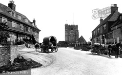
This high village of the Weald looks out on a panoramic view of orchards and hopfields, although the foundation of its prosperity in the Middle Ages was based on weaving and iron-working.
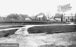
Looking across the green at the airy and spacious village, we see the Old Rectory (left); the tallest of the next three buildings is the old police station and court house, with the White Heifer pub on
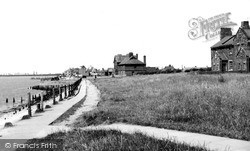
Seven miles to the east of Hull but totally isolated from urban ways, Paull has a history stretching back to the days of Charles I.
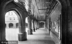
To the west of Old Quad (above, 72159) lies Old Big School, surmounted by School House dormitories.
Elsecar is situated 3 miles south of Barnsley. This is the industrial side of the vast Wentworth Estate: Elsecar was at the forefront of coal exploitation in the 18th century.
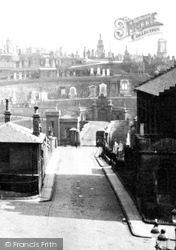
Middle Row juts out (bottom left), and the raised pavement leads to Bell Cliff (bottom left).
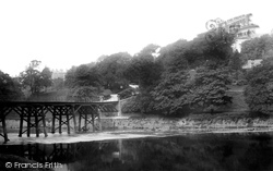
St Oswald's church at the top of this ravine used to be on the edge of the East Riding.
The Downs, like Horton and the common, were now part of London's Green Belt, and no further development would take place on them.
By the beginning of the 17th century the centre of Glasgow had shifted south, to the foot of the High Street where it joined the Saltmarket.
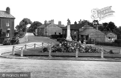
This is the T-junction at the centre of Hurst Green, seen here in the gentle post-war years. This stretch of road has a history all of its own.
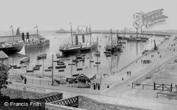
Kingstown was the Irish terminal of the City of Dublin Steam Packet Co, who successfully operated the mail service between Holyhead and Dublin for several decades.
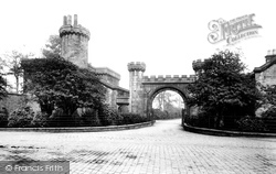
The castellated entrance to Townley Hall, on the A671 Todmorden Road at Burnley Wood, was photographed when it was still a private estate.
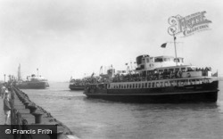
Three of the famous Liverpool ferry boats are leaving the landing stage.
Today, all that remains of the Plume of Feathers is the stableyard, now used as garages, which can be seen from Tythings Court.
THIS is the third church to be built on the site. The first was a 9th-century wooden Saxon church.
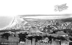
This is a spectacular view from the top of Portland, with the expanse of the Chesil Bank on the left, stretching 16 miles along the Dorset coast to Barton Cliff, and the broad expanse of Portland Harbour
In 1792, a company was formed by Lancaster merchants; they saw a canal as a way of getting cheap coal from Wigan and getting other goods out to the towns in the heart of Lancashire, and to the growing
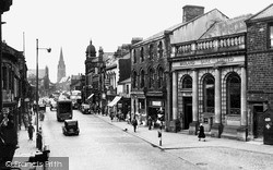
The story of how the town got its name is an unusual one. When the railway arrived, a station was built here at Marsden.
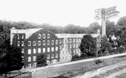
To go to Styal now, it takes some imagination to see this place as a prime example of cutting edge technology, but 200 years ago this was the case.
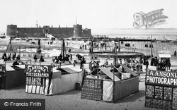
Designed by Capt John Kitson, Royal Engineers, Fort Perch Rock was built between 1826 and 1829 at a cost of £27,000 to defend the seaward approach to Liverpool and the Mersey.
On 8 May 1644 the Parliamentarians struck. The Royalists appear to have fortified the church and the area of the green, but quickly withdrew to the former.
Piper Bank appears in the census returns of 1851 and on maps of Rossendale as a place name.
In 1913 the Council received an offer of land skirting Woodcote Hall from Lord Rosebery as 'proof of my deep and abiding affection for Epsom'.
The market moved from the High Street to a new site behind the north side of the High Street in 1926.
Places (0)
Photos (0)
Memories (22913)
Books (163)
Maps (7034)


