Places
26 places found.
Those places high-lighted have photos. All locations may have maps, books and memories.
- Cemmaes Road, Powys
- Six Road Ends, County Down
- Road Weedon, Northamptonshire
- Severn Road Bridge, Gloucestershire
- Roade, Northamptonshire
- Berkeley Road, Gloucestershire
- Harling Road, Norfolk
- Road Green, Devon
- Builth Road, Powys
- Cross Roads, Yorkshire
- Steele Road, Borders
- Cross Roads, Devon
- Four Roads, Dyfed
- Road Green, Norfolk
- Biggar Road, Strathclyde
- Clarbeston Road, Dyfed
- Five Roads, Dyfed
- Eccles Road, Norfolk
- Grampound Road, Cornwall
- Morchard Road, Devon
- Wood Road, Greater Manchester
- Four Roads, Isle of Man
- St Columb Road, Cornwall
- Clipiau, Gwynedd (near Cemmaes Road)
- New Road Side, Yorkshire (near Silsden)
- New Road Side, Yorkshire (near Cleckheaton)
Photos
14,329 photos found. Showing results 3,081 to 3,100.
Maps
476 maps found.
Books
5 books found. Showing results 3,697 to 5.
Memories
11,058 memories found. Showing results 1,541 to 1,550.
My Memories Of Quince Tree House, South Road.
Hi I was born in Orsett Cottage Hospital in 1955 and I lived with my parents at my grandparent's house - Quince Tree House on South Road. until we moved to Hillingdon, Middlesex when I was 2. My ...Read more
A memory of South Ockendon by
School Days
I was a pupil at Easter Compton Infants School and remember Mrs Hunt Well . I also remember coke stoves used in winter and Mrs Withers the dinner lady. Meals were cooked elsewhere and brought to the School in hot boxes and Mrs Withers ...Read more
A memory of Easter Compton by
Happy Days
I was born at number 4 john Newton court in 1954. Although it was a small flat which I shared with brother Terry we were lucky to have wonderful parents ( Joan & Binty ) spent every moment playing football on the green and up Danson Park . ...Read more
A memory of Welling by
Chequers Road
I lived in Chequers Road, called Chequers lane in these photos. The girl in the photo is standing outside her gate in the house that was next door. My house was the other side of the tree. When the photo was taken there were two old ...Read more
A memory of Noak Hill by
Conkers And The Pram Race
Hello, my name is David Clarke. I lived in Barlborough from 1972 to 1978. We lived at 12 Westbridge Rd during that time frame. I went to Barlborough Primary School and so did my brother until my family moved to the U.S. in ...Read more
A memory of Barlborough by
Fond Memories
My uncle was also a train driver out of Feltham in the 50’s and 60’s even drove the old steam trains. I caught many a 152 bus from Feltham Station. Attended Cardinal Road School from 1955-1961 then Lafone from 1961-1966. Worked in the ...Read more
A memory of Feltham
Frosts Supermarket.
My wife Linda use to work at Frosts in Northcote Road Battersea as a cashier. Im am trying to establish when it ceased trading?
A memory of Battersea by
John Griffiths Aka Griffo
I was born in the front bedroom of 3 lands bury Crescent in 1952. Loved the estate, our inter road football matches and playing on the old puff and billy railway track. I used to go fishing and swimming in the pontoon which was ...Read more
A memory of Dartford by
Seafront Bungalow
I remember staying here with my parents sister and cousin must have been about 1950. I would have been about 6 or 7. Seem to remember a sort of sunroom located at the front where us kids slept in makeshift beds made up from loungers ...Read more
A memory of Southwold
Batter Park Off Temple Ave
Hi my name is Terence Stone (Vic) as I was more commonly known and I grew up in a wooden hut in Battery park hut number 2 and have many very fond memories of my childhood but sadly I cant find any trace or photos from there the ...Read more
A memory of Edmonton by
Your search returned a large number of results. Please try to refine your search further.
Captions
5,036 captions found. Showing results 3,697 to 3,720.
Reaching London Road, we have P.R.
Although the bacon factory closed in the 1920s, the chimney remained until the 1970s when the new ring road was built. The factory on the right bank was turned into residential flats in the 1980s.
This was the main road from Whitby to Teesside - how quiet it was on this occasion!
The development of complex new road systems for Teesside removed everything you can see here. This is a picture full of human interest.
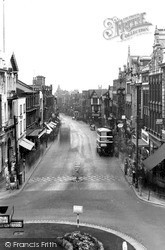
The distinctive chequer-board road crossing and chained railings suggest that 1950s pedestrians were finding traffic more of a hazard.
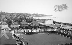
The bowling green is surrounded by beach huts and set amidst suburbia in St Edmund's Road, with Cordy's Regal restaurant, now The Alex, to the right.
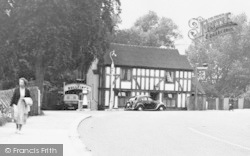
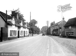
This road, also called Lower Street, leads towards the mill. On the left is the late 17th-century Chequers, where Mrs Edith Turtel offered 'Garage Accommodation for Motors and Cyclists'.
As we can see in this photograph, the market place stands above the main road through the town, and so is often missed by visitors.
It is difficult to realise that the apparently remote St Paul's church now stands adjacent to a busy roundabout at the junction of Pixmore Way and Baldock Road.
We are looking north-westwards up Spring Head Road from its junction with Mill Lane (foreground, right) and the bridge over the River Lim.
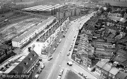
In 1935 the buildings, including the maltings, were demolished as part of a road improvement scheme.
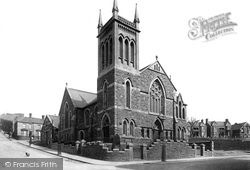
On the closure of Bethel Presbyterian Church in Court Road, the churches amalgamated, and Trinity was renamed Holy Trinity.
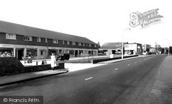
A set of lights enables people to cross the road in safety between the Health Centre and the chemist, second shop from the end on the left of the picture.
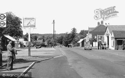
Fifty years ago the main A217 road through Lower Kingswood had not yet been widened.
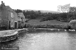
The stream ran down from Pen Hill through this pond to provide motive power for the corn mill over the road and below the Heifer Inn.
Skeeby was once on the trade route from the Great North Road to Richmond, just two miles further west.
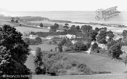
It is quite a panorama; on land to the left, the West Somerset railway curves away from the coast, crossed by the road to Watchet.
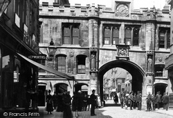
We have now passed through Stonebow into the southern part of the High Street, which grew up along the old Roman road south of the walled city.
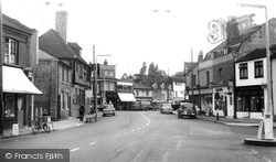
There is so little traffic at this date that the photographer has been able to risk standing in the middle of the road. Note the National Benzole garage on the right.
The High Street appears quiet with very little traffic; a road sweeper on the left goes about filling his three-wheeled rubbish cart.
Crown House provides a view of London Road and Morden Court and the slightly earlier mock Tudor York Close to the left.
These once quiet roads are now filled with heavy traffic.
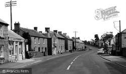
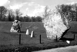
The Diamond stone sits alongside the Devizes to Swindon main road that goes through the village.
Across the road James Barlow, 'family grocer and provision merchant,' had the biggest food shop in the town; from the open doorway an appetising smell of ground coffee drifted into the street.
Places (26)
Photos (14329)
Memories (11058)
Books (5)
Maps (476)


