Places
3 places found.
Those places high-lighted have photos. All locations may have maps, books and memories.
Photos
63 photos found. Showing results 981 to 63.
Maps
12 maps found.
Books
1 books found. Showing results 1,177 to 1.
Memories
7,564 memories found. Showing results 491 to 500.
The Gables Boys Home.1960s.
I was at the Gables Boys Home for approx a year and a half, from 1966 to half way through 1967, I was taken there because I was always bunking off school, and the little tin god authorities in those days decided that was best ...Read more
A memory of Maldon in 1966 by
My Birth Place
I was born in Coundon in 1949, back then my parents and grandparents lived in William Street which does not exist anymore. My dad and grandad were both called George Gowton; my mother's name was Irene and my Grandma's name was ...Read more
A memory of Coundon by
The Annual Fair
The Annual Fair was always a time that the young people of Thorne waited for. Opposite the Red Bear, not far from Clarkes Pork Pie shop, there was situated a boxing booth and the young men used to try and win a prize for staying in the ...Read more
A memory of Thorne in 1961 by
Cambridge Terrace Shops
Bush Hill Park had so many interesting characters back in the 70's when I was young. I loved going to the shops in Cambridge Terrace, just off Dehli Road. My favourite one was Stewart's, the sweet shop, owned by Harry ...Read more
A memory of Bush Hill Park in 1972 by
Stories Of Birkenhead
I can remember my dad, who has since died, telling me stories of his childhood and also my mum's. It was all about Birkenhead - it was all very interesting. Yes, he did mention the Cooks and Ainsley, as he was one of the ...Read more
A memory of Birkenhead in 1965
Robinsons Chemist
My dad owned Robinsons Chemist and I lived over it from 1963 till I married in 68. We lived on Anglemead Crescent prior to moving back over the shop! I remember John Moore at Pinner Park/ Headstone and Moira Francis was my ...Read more
A memory of North Harrow in 1860 by
Edward Mathews
My dad worked at Mathews the iron founders, little Ernie Worsey. He was a shift worker, always dirty covered in black sand from head to foot. My dad used to cobble his own boots, and big boots they were. It was ...Read more
A memory of Bradley
My Father Bob Barnard Lived In Overton As A Boy. His Words Are Below:
I was born on 29th November 1928, and lived in Southsea in 1939, and during August my parents, little sister, and I went for a short holiday by coach to stay with an Aunt and Uncle ...Read more
A memory of Overton in 1940
Lovely Little Dartmouth, A Time Capsule
My uncle, Reginald, always called Dartmouth, "The Town That Time Forgot". And he meant that in a good way because Dartmouth was largely unchanged over the years and of course, as a result, is now quite the ...Read more
A memory of Dartmouth by
Memories Of Good And Bad Days In Tottenham
My Name is Alan Pearce. I was born in October 1939 at 75 Park View Road and I have many memories of going to the bottom of the road and walking under the very low tunnel which carried the railway line. ...Read more
A memory of Tottenham in 1930 by
Captions
2,471 captions found. Showing results 1,177 to 1,200.
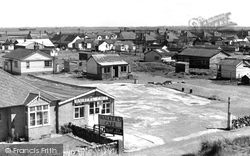
Sussex beaches are mostly shingle above high water mark, so it is understandable that the two miles of golden sand between the mouth of the River Rother and the shingle banks of Dungeness should develop
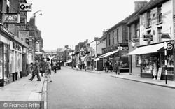
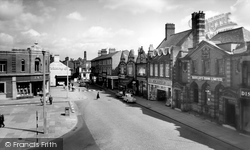
Although the B1004 is called the High Street, it is South Street that provides the main shopping centre for the town.
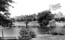
Looking West We are looking across the lake to the houses in Durham Street, with the Presbyterian church roof in the centre of the picture, and the Holy Rood Roman Catholic church on
Standing above the east bank of the river Stour, Wye was a royal manor before the Norman Conquest, and was given by William I to Battle Abbey in Susses.
In the 1920s, the owner of a chain of grocery stores had two carved cats placed on the upper front of his shop - they were supposed to frighten the rats away from the river bank.
Also known as St Sampson's, Golant on the west bank of the Fowey was cut off from the main estuary, save for a bridge, by the embankment of the Lostwithiel to Fowey railway in 1869.
This view was taken from immediately by Burford Bridge, in the public park on the Oxfordshire bank.
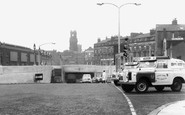
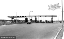
We are now on the north or Essex bank of the Thames Estuary. This rather quaint view shows the then 'up to the minute' toll booths of the newly-opened Dartford Tunnel.
With the Mumbles Railway carrying as many as 40,000 passengers on a bank holiday, the village prospered. The name 'Mumbles' actually derives from the French 'mamelles', meaning 'breasts'.
To the left of the picture are the grounds of the Staff College; they were fully open to the public, who could enjoy the fine walks and sit by the lakes.
Further along the north bank the Thames passes Chelsea's Cheyne Walk.
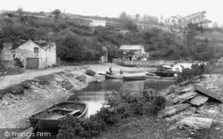
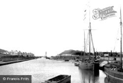
The harbour, with the sea lock in the far distance, still exists today, albeit completely altered. The quay to the right belonging to Hockin & Co is now a car park.
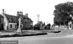
After crossing the ancient causeway known as the King's Highway (which runs from Belsars Hill at Willingham to Aldreth) we reach the green at Haddenham and the road to Ely.
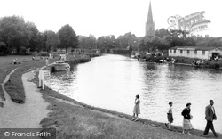
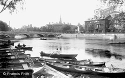
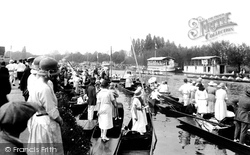
The south bank was a popular location for hiring rowing boats, and the Bedford Rowing Club, founded in 1886, have their boat and club house to the left of the photographer.
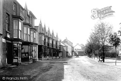
On the left is A J White, watch and clockmaker (the other half of the building was Barclays Bank, open on Wednesdays), George Howe, draper and grocer, Adam's, baker and confectioner, and the Crown.
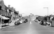
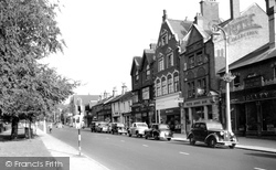
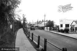
Viewed from the raised footpath, the summit of Perrymount Road merges into the Broadway.
The Mansion Family Hotel appears on the extreme left of this picture, taken from the top of Exeter Lane across the Pleasure Gardens.
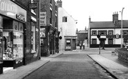
Many of the shops seen in this picture have gone or changed hands.
Further south, High Street opens up to the river, the buildings terminating in an elegant early 19th-century five-storey warehouse with a hipped roof: more like a very tall villa than a warehouse.
Returning to the Square, we are once again looking at Market Street.
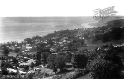
We are looking out over Grange to Morecambe Bay from Charney Well Road, which rises steeply above the town. Now, houses occupy the slope in front of the camera.
The Thames, or Isis, plays an important role in Oxford university life.
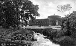
War Memorial Gardens were laid out to the north of Memorial Avenue between it and the Canch, as this stretch of the River Ryton is known.
We are looking along Grange Road from the corner of Oxton Road.
Places (3)
Photos (63)
Memories (7564)
Books (1)
Maps (12)


