Places
Sorry, no places were found that related to your search.
Photos
2 photos found. Showing results 41 to 2.
Maps
Sorry, no maps were found that related to your search.
Books
Sorry, no books were found that related to your search.
Memories
94 memories found. Showing results 21 to 30.
Devizes Memories
A DEVIZES GIRL REMEMBERS Before talking of my own memories, it would seem appropriate to start by sharing some valuable ones of my Father who was born in 1906 and spent his whole life in the town. During the last five years of his ...Read more
A memory of Devizes by
Dorothy's Memories
l was born in the High st Sedgley a small house next to the old The Old Crown pub, in 1936, my father Samuel Britton was born in Sedgley (as was his mother and father and others going back to the start of the records of Sedgley once ...Read more
A memory of Sedgley by
Dunoon Best Holidays Ever
Each year, the excitement mounted as summer drew near. Dad would drag out the large wicker hamper and Mum would start to fill it with clothes, wellies and tins of food from Galbraiths or the Co-op. By school's end, the carriers ...Read more
A memory of Dunoon
Dunstable Downs Bedfordshire
At the end of petrol rationing during the late 40's and in the 50's we would regularly visit Dunstable Downs to watch the gliders, all piled into my uncles Morris 8. The gliders would be towed into position at the far end of the lower ...Read more
A memory of Salford by
Foggy Beacon Park
When I was 5 yrs old I can vividly remeber getting lost in Beacon Park in a real pea souper with friends from the farm in the Sandford Street corner of the park and also remember digging old stone jars up from the brook that runs through the park!
A memory of Lichfield in 1956 by
Fond Memories
I grew up in Woodhouse Eaves from 1943-53, living in Beacon Road, number 65. My grandfather Handley lived in the last house in that row of white cement-rendered houses, it had the only garage in the row in which he kept his ...Read more
A memory of Woodhouse Eaves by
Fond Lifechanging Memories
I remember the Convent of Mercy as one of my fondest memories. I boarded there from the young age of five until I was eleven. Some of my best memories were of the summers when we made long daisy chains with all the ...Read more
A memory of Monks Kirby in 1962 by
Foxhole In The 1950s
I remember going to grandads; he lived by the clay pit in Foxhole and he worked there together with his two sons. He lived in a cottage and the railway ran by the house. There was a large shed next to the ...Read more
A memory of Foxhole by
Freddie Holmes Garage
I attended the primary school, just down the Maldon Road from the garage in the photo, which was run by Mr Holmes. The sweet-shop behind the pumps was popular with us kids! Headmaster of the primary school was Mr Herbert ...Read more
A memory of Great Totham in 1960 by
From The Pews Of The Church In Kilinian To Pioneers In Colonial Australia. The Patterson Clan.
The Church at Kilinian during the 18th and 19th century, if not earlier, was a Celtic Presbyterian Church where my ancestors, the Patterson and McClean ...Read more
A memory of Kilninian by
Captions
136 captions found. Showing results 49 to 72.
The first stone church on this site, just beside the old Watling Street, was built soon after 1066, but the present building is mainly 13th-century, with a rather handsome 15th-century stepped-buttressed
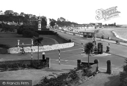
The building on the cliff in the distance was erected as two houses in the 1890s and converted by a millionaire to a single dwelling in 1915.
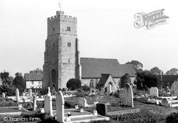
The tower stands tall and proud, and it is not difficult to understand why St Margaret's was one of several beacons forming a connection with other churches from London to the coast.
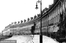
From Lansdown Road turn left into Camden Crescent, an ambitious project begun in 1788 on the slopes of Beacon Hill, which gave splendid views eastwards.
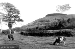
Standing at a height of about 260 metres above sea level is the prominent landmark of Chanctonbury Ring.
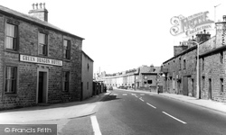
The Green Dragon Hotel, a stone-built 18th-century inn, is popular with residents and students from Lancaster University.
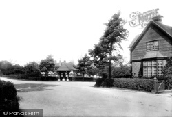
The house on the right is the Beacon, one of the more substantial residences in Victorian and Edwardian Fleet.
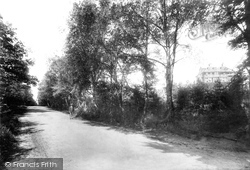
The Lickey Hills were declared a royal hunting forest in the 11th century, but they were sold by the Crown to the Earl of Plymouth in 1682.
This view looks southwards across the Common from Stert, named for a neck of land, which juts into the English Channel and is the southernmost point of both Portland and Dorset.
The Pilgrim Fathers' Monument is built of Portland stone and rises 50ft above the ground.
Beacon Hill was developed in the late 19th century for those who were in service to the wealthy folk who lived at neighbouring Hindhead.
The Lickey Hills were declared a royal hunting forest in the 11th century, but they were sold by the Crown to the Earl of Plymouth in 1682.
By the middle of the 20th century we see something resembling the modern scene.
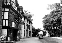
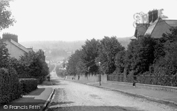
The view down the street in 1950 is not greatly different from 50 years before, although a car has replaced the pony and trap.
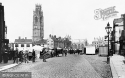
The town centre is dominated by its very large triangular market place, which in its turn is visually overwhelmed by the mighty church steeple, completed in 1460 and universally known as the Boston Stump
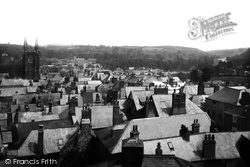
The roofscape of Totnes remains largely unchanged. In the distance is St John's Church, Bridgetown; the wooded hill to the right is now the large housing estate of Westonfields.
A beacon stood nearby during the civil wars, forming part of a line of communication between?Kent and London.
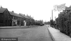
Corringham was a small, remote village before the coming of the oil-refineries: the petrol-station sign in the distance says it all. This parade was built in 1929.
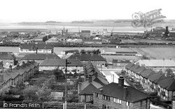
We are looking from the Beacon Hill area.
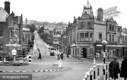
By the mid-Fifties, Crown Square had taken on a much more urban appearance, with black and white kerb markings, a Belisha beacon on the right, and traffic signs in the centre of the
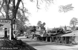
The eastern end of the village of Baslow is known as Nether End. This 50s view is from outside the Cavendish Arms Hotel, looking west.
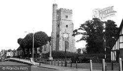
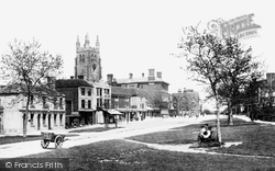
The 15th-century grey tower of St Mildred's Church, with its bold crocketed pinnacles, dominates the centre of this small town, which stands 322 feet above sea level; it was formerly used as a beacon
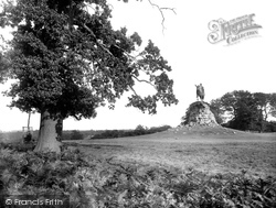
Here we have a view of the Copper Horse on the summit of Snow Hill. Most of the Long Walk, including the Copper Horse, is within the boundary fence of a Deer Enclosure.
Like others rising towards Beacon Fell, this terrace, dating from 1865, testifies to the enterprise of the Penrith Building Society.
Places (0)
Photos (2)
Memories (94)
Books (0)
Maps (0)


