Places
26 places found.
Those places high-lighted have photos. All locations may have maps, books and memories.
- Cemmaes Road, Powys
- Six Road Ends, County Down
- Road Weedon, Northamptonshire
- Severn Road Bridge, Gloucestershire
- Roade, Northamptonshire
- Berkeley Road, Gloucestershire
- Harling Road, Norfolk
- Road Green, Devon
- Builth Road, Powys
- Cross Roads, Yorkshire
- Steele Road, Borders
- Cross Roads, Devon
- Four Roads, Dyfed
- Road Green, Norfolk
- Biggar Road, Strathclyde
- Clarbeston Road, Dyfed
- Five Roads, Dyfed
- Eccles Road, Norfolk
- Grampound Road, Cornwall
- Morchard Road, Devon
- Wood Road, Greater Manchester
- Four Roads, Isle of Man
- St Columb Road, Cornwall
- Clipiau, Gwynedd (near Cemmaes Road)
- New Road Side, Yorkshire (near Silsden)
- New Road Side, Yorkshire (near Cleckheaton)
Photos
14,329 photos found. Showing results 441 to 460.
Maps
476 maps found.
Books
5 books found. Showing results 529 to 5.
Memories
11,058 memories found. Showing results 221 to 230.
Ww2 Air Raid Shelter
My grandparents lived on the corner of Browning Avenue and Washington Road. Visiting in the '60s and '70s I remember that there was an Air Raid Shelter in the back garden, which was basically a concrete shed. Were these in all the gardens? and do any of them still exist?
A memory of Worcester Park by
The Harbour Line.
Look carefully between the first two trees on the left of the photograph. In the gap with the house in the background you will see a horizontal dark line which follows to the right. This is the railway line called the Harbour Line ...Read more
A memory of Wisbech
Gants Hill Smiths Bus Stop
I used to live in Montreal Road, off Perth Road, and remember the bus-stop outside Smiths stationers. There was also a real butchers, greengrocers, shoe shop, Woolworths, banks, a small dress shop and later a Jewish ...Read more
A memory of Gants Hill in 1961
Barpool Road In The 50s
My Mum's family lived on Barpool road (Nan and Gramps still do) and she often tells us how the kids in the street played together with giant skipping ropes made from the washing line that went across the street. Also about the ...Read more
A memory of Nuneaton in 1955 by
Eskdale Cumbria And Another Hectic Break
My son Matthew provided the opportunity to once again retrace our well worn steps around this beautiful county and in particular The Lake District. As is our norm it was non-stop driving and walking, although ...Read more
A memory of Ambleside by
Internationals Food Store?
Great memories of Streatham. I was born and brought up in Streatham and just wondered if anyone remembers a big food store back in the1970’s called “Internationals”? I too remember Gadsbys the art/gift shop - so interesting ...Read more
A memory of Streatham
The Rhondda Fawr And Me!
My mother was born in Blaenrhondda at the top of the Rhondda Fawr in 1914 and was one of four sisters but she was the only one to leave the Rhondda at the age of fourteen to go into service in England. During WW2 when my father ...Read more
A memory of Treherbert by
Life In Cannich And Fasnakyle
My family and I moved from Elm Park in Essex to Scotland in the last weeks of 1948. My father, Leon A. Lalonde, had accepted a position as Chief Mechanical Engineer with John Cochrane and Sons, a construction company. ...Read more
A memory of Glen Affric in 1949 by
Childhood In Salford
I was born Susan Cooke in no. 11 Quanton House, Amersham Street just of Liverpool Street , in my nana's flat. We lived with her until I was 3 from 1957 to 1960 when we moved to Trenham Street near to where the Salford Macdonalds ...Read more
A memory of Salford in 1960 by
115 Furzehill Road
I moved to Borehamwood in June 1963 age 5. I lived at 115 Furzehill Road it was a children's home and we were all treated very well. ( Thank you ) Went to Monkesmead, Summerswood and Holmeshill I have very fond memories of Borehamwood.
A memory of Borehamwood by
Your search returned a large number of results. Please try to refine your search further.
Captions
5,036 captions found. Showing results 529 to 552.
Fifty years earlier, the Manchester Cricket Club took over the Clifford cricket ground, situated between Chester Road and Talbot Road.
Up the road on the right beyond the pub now stand Crouch's garage, the Royal Mail Sorting Office, Kent House and the Ashford bowling alley.
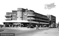
The vaguely Art Deco style of Shirley House (left) contrasts with the Gothic look of the Baptist church, but Stratford Road today is a much more eclectic mix than it was in the 1960s.
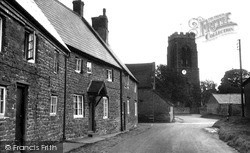
The High Street runs northwards, parallel to the through road to Irchester. It is a narrow road with a mix of architectural styles and has suffered much rebuilding since the 1950s.
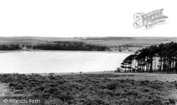
The Lockwood Beck Reservoir is situated at the junction of the A171 Guisborough-to-Whitby moor road with the road to Castleton.
This main road through the town used to be the Wakefield to Halifax road, originally built by the Romans. Business in the town was not only concentrated on blanket making.
Further out, where the High Street becomes Tring Road beyond the Walton Road and Park Street junction, the printing works of Hazell, Watson and Viney was built in 1878; its distinctive corner cupola
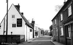
The sign for the King's Head Inn is on the right of the picture, although the King's Head itself is in fact on the opposite side of the road standing next to the International Store.The old Town
Garth Dawson's Camera Cabin, located behind the clock (centre, behind the bus), has had several locations around the centre of Accrington, and is now sited round the corner on Blackburn Road. E
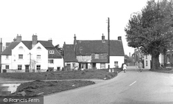
The road crossing the picture from left to right immediately past the cottages on the left was the Daventry to Warwick turnpike and the main Warwick Road until the bypass was built in the
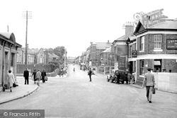
The same road widening seen in the previous picture led to the demolition of the white-painted end house in this shot. One would not now dream of walking down the centre of this road.
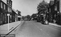
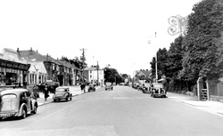
Rows of black cars line the sides of the road. Today there are estate agents, an optometrist and a surgery here; the surgery dates from 1937 when Dr Cheyne opened it in his Havant Road home.
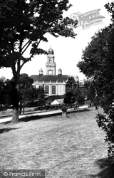
Sitting lofty and proud on the road to the famous dockyard, this majestic building, built in 1900, was once the centre of the town's administration until it moved to Strood during an amalgamation of Medway
This view looks along Cheam Road, with the Cheam Road Hall on the right.
The road on the right, Vaughan Road, now leads into an estate with a number of new houses.
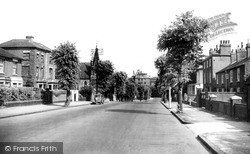
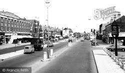
The road is the A30 London to the west of England road which, even in 1955, could become horribly congested, especially at summer weekends. This broad thoroughfare runs the entire length of the town.
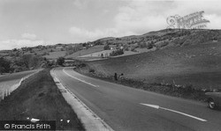
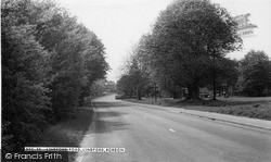
This view shows the high, bleak, windswept road from Macclesfield. There was once a proposal to link Buxton and Macclesfield by light railway, by a route following the road.
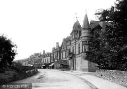
A traffic-free view of Dale Road shows the Victorian Gothic style of the Old English Hotel (right) to good effect.
We are looking along Grosvenor Road towards the A26 to Tonbridge and London from the town centre at Five Ways, with Mount Ephraim Road on the left.
This road is used by coaches as a dropping-off point when bringing visitors to Cleethorpes, and it does not now look as attractive as it does in the photograph.
This road is used by coaches as a dropping-off point when bringing visitors to Cleethorpes, and it does not now look as attractive as it does in the photograph.
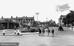
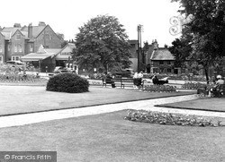
This photograph shows the busy junction at the top of Station Road and Northampton Road, which combine like an arrowhead opposite the Gardens. The Headlands stretches off to the left.
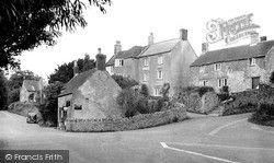
Here six roads meet. By now the car has replaced the pony and trap. The road ahead leads to the centre of Mells.
Here we see the junction of the Hathersage road and the road leading down to the bridge over the Derwent.
Places (26)
Photos (14329)
Memories (11058)
Books (5)
Maps (476)


