Places
5 places found.
Those places high-lighted have photos. All locations may have maps, books and memories.
Photos
9,649 photos found. Showing results 1,681 to 1,700.
Maps
18 maps found.
Books
13 books found. Showing results 2,017 to 13.
Memories
4,612 memories found. Showing results 841 to 850.
Circa 1952
Lydia Hall There were some lovely buildings that have been lost to demolition , the elegant Georgian Pear Tree House that was the Doctors home...the "Dutch" house on the green....and does anyone remember the Windmill that was left to ...Read more
A memory of South Ockendon
Growing Up
I grew up here ...happy memories , loved the lake and fun fair , surrounding countryside , would be either sat on a jetty with my feet in the water watching the boats come and go , or hiding in the dense shrubbery at the top of the hill ...Read more
A memory of Pickmere by
Church St, Woodlesford
I was born in Church St, Woodlesford in 1930. The cottage where I was born belonged to my great grandma's family called Denkin. I attended Woodlesford school which is still being used for local families. There is a ...Read more
A memory of Woodlesford in 1930 by
Good Old Spike
I was six years old (cannot remember much before) but later bonfire night squabbles with new villagers, swinging over blackies on ropes, riding carriages on railways was all fun. Spike itself was a fantastic village to live in. ...Read more
A memory of Poolsbrook in 1957 by
East Chevington The Drift
I am the daughter of Doreen Smith, daughter of Frederick Steve Smith & Elizabeth Smith (The siblings consisted of Albert, Frederick, John, Violet, Nellie, Millie, Elizabeth or Lizzie who died of TB, Jim, Doreen). ...Read more
A memory of North Seaton in 1930 by
Born In Oldcroft
I was born in Upper Oldcroft, we had neighbours of Mr and Mrs Cooper, where we used to get water from their well. Horace and Rene Turley, Jim Cox and Family by the huge walnut tree. Cissie Thomas where we used our ration books. Two ...Read more
A memory of Oldcroft in 1946 by
Our Early Life
We lived my Dad (Roly Inman) Mum (Topsy Inman) with me Michael, and Roger in Shotover up the rough lane off the road by the grass triangle and near the school. I remember Miss Swithenbank who used to teach and lived in ...Read more
A memory of Burley in Wharfedale in 1950 by
Cullercoats Personal Links
My Nana Simpson (nee Brunton) was a fisherwoman who used to sell fish on the front from a creel on her back years before I was born. My Grandad contracted Polio in his 50's and Nana had to work hard long hours to bring ...Read more
A memory of Cullercoats in 1949 by
Born In 1955 In Kiveton Park
I was born in 1955 at KIlton Hospital in Worksop but lived in Kiveton for 23years before moving away...I lived with my parents peter and joan spacie and my brother jonathan on Highfield Avenue...on the estate just ...Read more
A memory of Kiveton Park by
Captions
5,016 captions found. Showing results 2,017 to 2,040.
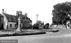
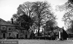
After crossing the ancient causeway known as the King's Highway (which runs from Belsars Hill at Willingham to Aldreth), we reach the green at Haddenham and the road to Ely.
The village had once been a centre for lead-mining, but by 1900 it was once again reliant on agriculture.
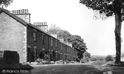
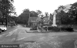
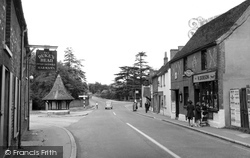
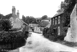
Some of the older buildings of the village present a pretty and tranquil picture below the wooded hillsides, although in 1955 the road through the middle of Staveley still carried all the traffic to and
Only a couple of miles from Kettering, the village of Barton Seagrave retains plenty of charm and character.
The advent of the internal combustion engine saw the demise of the village blacksmith, although the art is making something of a comeback with the demand for decorative railings and gates.
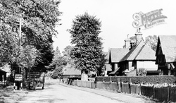
We are south-west of the village centre, and the photograph exudes a strange feeling of well- cared-for neglect.
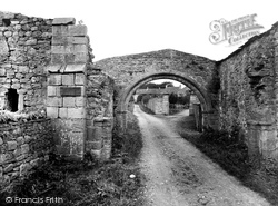
The 'fortified settlement where wrens could be found' is still a peaceful place, with wrens undoubtedly still around.
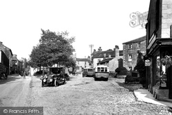
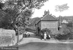
This view was taken in the middle of the village, and is looking down Updown Hill.
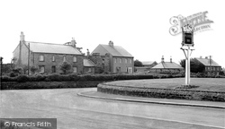
The scout hut, agricultural vehicle and long forgotten signboard are features of the left-hand side of High Road looking towards Elmore Pond.
In between the dramatic hills of Great and Little Whernside, Coverham lies in a hollow 2 miles west of Middleham.
Here we see another Crown Inn deep in the Fold country, and this one is still a licensed premises!
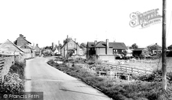
Gawcott, a mile and a half south-west of Buckingham, lies at the head of a stream (flowing north into the River Ouse) whose course runs along the right-hand side of this road.
This view looks northwards along Middle Street (otherwise known as Chapel Street) in the centre of the village towards a 17th- century thatched cottage on the corner with Grove Road (centre
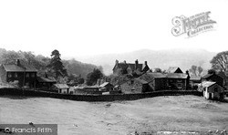
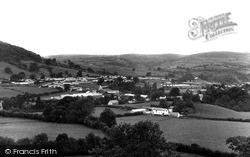
Here we have a distant view of the village looking east toward the Brecon Beacons. Note that this is still limestone country, with a verdant mass of trees and hedgerows.
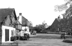
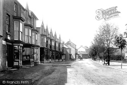
Brooke Cottage was the place to visit for parents and children alike if they had a sweet tooth, for it was formerly the village sweet shop and store. Next door there was a shoe shop and cobbler's.
Here is the 11th-century church of All Saints built by the Flemish architect Gilbert de Gant (d1094), a nephew of William the Conqueror.
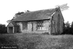
It is said that this 'venerable' church, St Saviour's, is 900 years old, and that the apostle Paul preached here.
Linton-in-Craven is thought to have got its name from the flax (lin) which used to be grown in the fields surrounding Linton Beck.
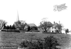
Further north-east we reach Crowborough, a village that became a health resort in the 1870s when Lord Abergavenny followed the advice of a Dr Prince.
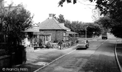
An unusual, but often most welcome, combination of pharmacy and sub-post office, the building on the near left has performed the function under at least three owners to the knowledge
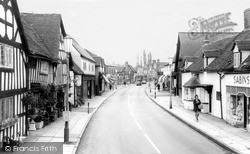
Knowle, one mile south-east of Solihull, contains several interesting old buildings, including the medieval Chester House, and the heavily restored 17th-century Red Lion.
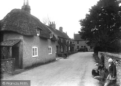
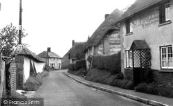
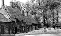
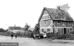
Certainly, many of the houses in the village are thatched, and are constructed in the same way as the house in the foreground.
With the Mumbles Railway carrying as many as 40,000 passengers on a bank holiday, the village prospered. The name 'Mumbles' actually derives from the French 'mamelles', meaning 'breasts'.
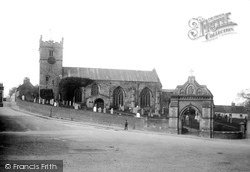
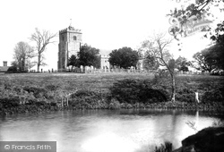
Seen here from the south, across the bank of the small stream which flows through the village, the pale sandstone outline of St George's Church stands proudly in its churchyard.
Places (5)
Photos (9649)
Memories (4612)
Books (13)
Maps (18)


