Places
7 places found.
Those places high-lighted have photos. All locations may have maps, books and memories.
Photos
297 photos found. Showing results 161 to 180.
Maps
28 maps found.
Books
Sorry, no books were found that related to your search.
Memories
357 memories found. Showing results 81 to 90.
My Links To Cheslyn Hay
I was born in 'The Lot' on Cheslyn Hay in 1950. I have been able to trace my lineage back to the 1700's through the Brough, Horton and Cadman families. The Horton family lived in all or some of the cottages in Dundalk ...Read more
A memory of Cheslyn Hay by
St Jamess Church Of England Primary School Emsworth
I was born in a little hamlet called Ratham nr Bosham but moved to Southleigh Farm, Southleigh Road before the age of 2... Come school time it was the local Church of England School then in ...Read more
A memory of Emsworth in 1965 by
My Memoirs 1964 1966 Part One
Wayne Carter My father is Frederick Carter born in London, and mother was Loraine Carter nee Chadwick was born Cyfarthfa Street Roath; mum sadly passed away in 1998. I have a younger sister Jane Carter nee ...Read more
A memory of St Mellons in 1964 by
New Years Eve And Blaen Infants School
Born and bred in Princess Street, Blaen, stayed until the family moved to Maerdy and from there I went to East Glamorgan Hospital to train as a nurse. Now in Bangkok working as a consultant to a large ...Read more
A memory of Blaenllechau by
Way Back Before My Time
I've suddenly come across some vague details about my great great grandparents who were called Thomas and Sarah Davies, who lived in Cilrhedyn. They actually lived on a farm called Crug Evan (or Crig Evan). I've done a ...Read more
A memory of Cilrhedyn in 1880 by
My Old Gran, 1950s
My name is Peter Smith. I have some wonderful memories of Ryde. The flying boats in East Cowes is one of them. The trams that ran through Ryde, before the underground stock was bought in from London. I remember being severly told off ...Read more
A memory of Ryde in 1957 by
Growing Up In Post War Harrow Weald
I lived at 20 Silver Close, Harrow Weald from 6 weeks old in 1941 until I left for Australia in 1961. I atended Harrow Weald Infants School from 1946, the old building was opposite the bus garage in the high ...Read more
A memory of Harrow Weald in 1941 by
The Perfect Holiday
In the late 1950s we had a couple of holidays in Bracklesham bay, which was then a tiny, but growing village. I had never seen shops which were the equivalent of wooden shacks mounted on bricks. There were some modern bits; ...Read more
A memory of Bracklesham Bay in 1959 by
Born In Burnt Oak
I was born in Burnt Oak in July 1956 in North Road - the same house that my mother was born in. My grandparents lived in North Road for many years until North Road, South Road and East Road were compulsory purchased by Barnet ...Read more
A memory of Burnt Oak in 1956 by
Tarpots
I remember the north side of the London road much as has been described by others with some differences, the last shop before the garage was Jones the butchers, owned by Mr Jones and run by his three sons, Roy, Owen and the third one ...Read more
A memory of Great Tarpots in 1945 by
Captions
445 captions found. Showing results 193 to 216.
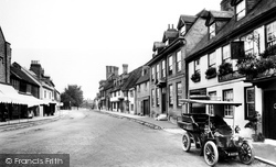
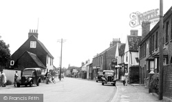
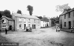
East Budleigh's main street has changed little since this photograph was taken at the outbreak of the Great War.
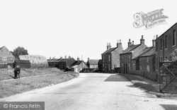
Station Street turns east from the High Street, and once led to the railway station on the branch line from Gainsborough to Doncaster, closed since the 1960s.
Broadly speaking, the valley along Broad Street and Berkhamstead Road was for artisans and the working classes, the areas to east and west were middle class.
The photographer is now positioned east of Franklin's Outfitters, since demolished.
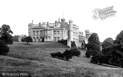
Lambton Hall is situated to the north-east of Chester-le-Street. Work began in the late 1790s, when William Henry Lambton had an old castle on the site dismantled.
This view is along Eastgate, east of the crossroads with Northgate (‘gate’ being Danish for street, rather than gate) and Minster Yard.
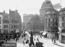
At the junction with Paternoster Row, Cheapside swings from the north in an arc and heads east towards the Bank.
Winchcombe lies on the high ground to the north-east of Cheltenham; its street pattern suggests its origins as an important Saxon town, once the capital of the kingdom of Mercia.
Situated in East Grinstead's historic High Street, the Dorset Arms stands on the site of a former hostelry known as the New Inn and then the Cat and Ounce.
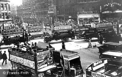
The east end of Oxford Street is ahead. To the right, where hair cuts are advertised at four pence, is Tottenham Court Road. The number 7 bus on the left is heading into Shaftesbury Avenue.
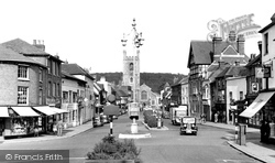
Continuing south-east across Ashdown Forest, the tour finishes at Uckfield, a town now by-passed and the terminus of a commuter railway line to London, the continuation to Lewes having been closed.
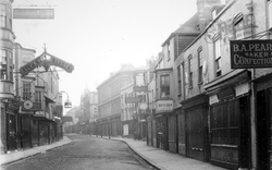
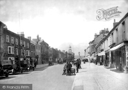
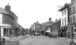
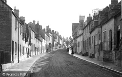
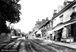
This view looks east along the main street.
We are now looking east along Hart Street towards the parish church of St Mary.
Great Wakering is an attractive village, just a few miles to the north of Shoeburyness in the remote old marshlands of the south east of Essex.
At the junction with Paternoster Row, Cheapside swings from the north in an arc and heads east towards the Bank.
The humbler quarter of town is on the east side of the bridge over the Fowey, where the old road climbs out towards Liskeard.
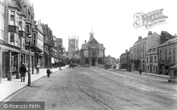
Dominant in this photograph of the east end of the High Street is the Town Hall, which at the date of this photograph had just been rebuilt by local architect C E Ponting.
Heading north-east out of Bath on the A4, cross the A46 junction onto the old A4, which soon becomes Batheaston High Street.
The Plain, as it is known, lies just to the east of Magdalen Bridge, representing the boundaries of the old city. Here the Cherwell flows under the easterly part of the High Street.
This now lost view looks from Market Street towards Silver Street: the timber-framed building on the left has been replaced by a 1970s building.
Here we see the Parish Church as we look from the High Street through Middle Row, part of the 'old town' of Ashford.
Brimington is one of a number of similar former coal mining villages to the east of Chesterfield, and today villages like this are seeking a new identity.
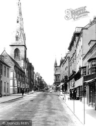
Viewed from North Street, the main body of the church shows the nave's clerestory windows and the chancel's tall east window of five lights, but the spire is its crowning glory.
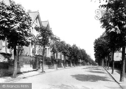
We are standing at the corner of Lady Lane, looking east. It is a road of late Victorian houses with names like Pretoria Villas, Rebecca Place and Grasmere.
Places (7)
Photos (297)
Memories (357)
Books (0)
Maps (28)


