Places
19 places found.
Those places high-lighted have photos. All locations may have maps, books and memories.
- Hill of Mountblairy, Grampian
- Hill of Banchory, Grampian
- Hill of Fearn, Highlands
- Rocky Hill, Isles of Scilly
- Hill of Beath, Fife (near Dunfermline)
- Hill of Drip, Central Scotland
- Hunny Hill, Isle of Wight
- Quarr Hill, Isle of Wight
- Quine's Hill, Isle of Man
- Kite Hill, Isle of Wight
- Broom Hill, Avon
- Merry Hill, West Midlands
- Rose Hill, Derbyshire
- Cinder Hill, West Midlands
- Barton Hill, Avon
- Spring Hill, West Midlands
- Golden Hill, Avon
- West Hill, Yorkshire
- Oak Hill, Staffordshire
Photos
2 photos found. Showing results 1,041 to 2.
Maps
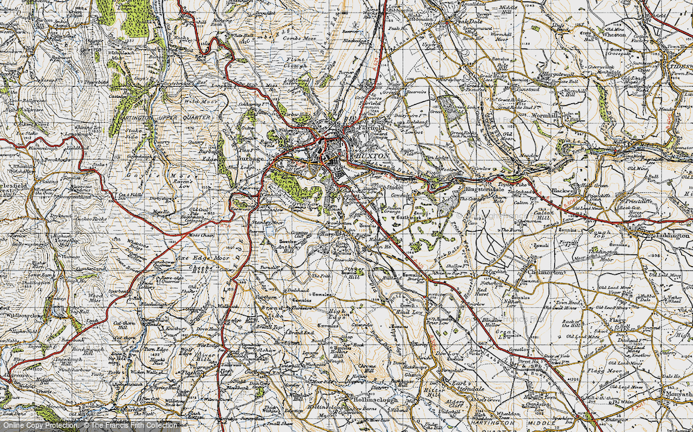
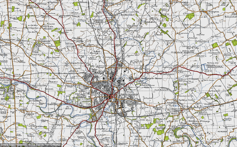
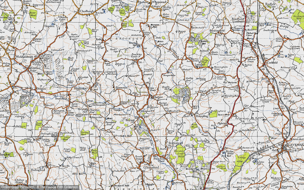
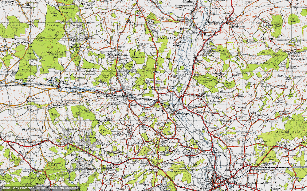
4,410 maps found.
Books
Sorry, no books were found that related to your search.
Memories
3,576 memories found. Showing results 521 to 530.
Raf Herscha Hill
I, along with two others at any one time, was posted to the RAF fixer station on Herscha Hill. We stayed with Miss Bella Scott at a house called Noranside, halfway up Kintore Street. I was there from 2 Feb 1954 to mid-November ...Read more
A memory of Auchenblae in 1954 by
Fallin Primary School
I remember the old school which was opposite the kirk and also Tortilano's ice cream shop. I started school in 1951/52 I think it was, and Capt Gracie was the Headmaster who ruled as though he was still in the army. I lived in ...Read more
A memory of Fallin in 1952 by
School Days
I lived at 27 Radnor Street, last but one tennament to be flattened. My first year of school was at the "new high school", on Bouquanaran; 10 class rooms open, we had to scramble among the bricks to get to class. Then I went to Radnor ...Read more
A memory of Clydebank in 1940 by
The People Of Kilfinan
The year my mum and dad got married in Kilfinan Church. My mum was born and brought up in Kilfinan Post Office where my granny, Mrs Maclachlan was the post mistress for many of my childhood years. I don't actually remember the ...Read more
A memory of Kilfinan in 1951 by
Golds Hill School
I attended the above school from 1941 to 1947. I know of one person who attended with me at that time and who I am now still in contact with..Jean Goldie (nee Hill). If anyone remembers us or the teachers ,Misses Dufty, Scot, ...Read more
A memory of Golds Green in 1941 by
Hopfields
I lived at the RN & RM Children's Home, "Hopfields", Stakes Hill Road, from 1951-57, attending Waterlooville Primary, Stakes Hill Road, transferring to Cowplain Secondary Girls in 1952. My two younger brothers, Matthew and ...Read more
A memory of Waterlooville in 1951 by
Triangle Row
We moved in to number 13 after we got married. Our first visitor was unfortunately a policeman with a warrant for the previous owners arrest. I'm sure we were not alone in the house. We often used to hear an over the door type bell ...Read more
A memory of Norland Town in 1984 by
The Good Ol Days
I was born in north London in 1951. We moved to 3 Penzance Road when I was about 6 months old, I lived there until 1972. I remember Wallies van, buying broken biscuits from the shop in Petersfield Ave, playing runouts and tin tan ...Read more
A memory of Harold Hill in 1951 by
Phil & John's Amazing Journey Part 2 Football, Pubs, Old Friends
Stopping briefly outside the Working Men’s Club, the meeting place on Saturday lunchtimes for us Groby footballers before away games, we pass the chippy, the old blacksmiths where the old ...Read more
A memory of Groby in 1970
Wolverhampton Street Community
Wolverhampton Street seemed to almost be a village on its own. There was Burgins and Bytherways newagents, Masseys wet fish shop, Davis's grocers, Smiths greengrocers, Sherratts electrical, Bryans diy, Robinsons cakes, ...Read more
A memory of Dudley by
Captions
1,732 captions found. Showing results 1,249 to 1,272.
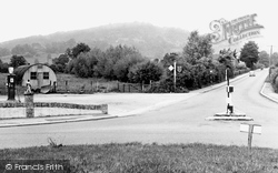
There is still a petrol station on this site at Brockworth roundabout, though the wartime Nissen hut we see here is long gone.
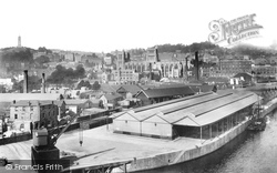
Perched high on its hill in the background at left is the tower erected to commemorate John Cabot's voyage.
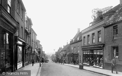
Fore Hill is an attractive street which continues on from the High Street, descending to the River Ouse.
In a document dated 1295 this area was referred to as 'Runcoure Superior' - this had nothing to do with the class of people who lived here but referred to the fact that it was on the
The castle, much enlarged by the Dukes of Norfolk, along with their Roman Catholic cathedral, dominates this picturesque hill town, giving it a distinctly French character in distant views.The bridge over
Here the photographer looks across the High Street westwards from Church Headland Lane with the start of Market Hill to the left of the thatched cottage, Cobwebs.
South of the A39, we climb from lush pastures towards Exmoor and the well-wooded Holnicote Estate and Dunkery Hill, much of which are owned by the National Trust.
There was a settlement on this site in prehistoric times, but the first documentary reference to 'Bramwice' was in 1168. The name referred to the wild broom which grew here.
Clinging to the steep escarpment below Leith Hill, this village centre is, at 750ft, the highest in Surrey.
His brand new Volvo once rolled, driverless, across Blandford Road and into Pardy's Hill, coming to rest harmlessly against the tree (centre).
Looking east from Blucher Street this view shows how steeply the chalk hills rise behind the town, still undeveloped.
Chipstead Way runs immediately behind the photographer`s position and Upper Pines is the turning on the left-hand side beyond Nos 44 and 42 Pine Walk.
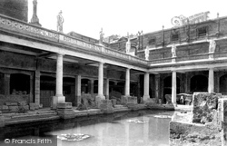
The flat bottom is lined with 45 sheets of Mendip lead.
The village of Palnackie is set in a region of wooded hills and streams.
The Cathedral spire dominated the surrounding countryside in previous centuries just as it does today.This view is from Harnham Hill, looking north eastwards across the Avon and an area of farmland
At the time of the Domesday Book, Halton was the main administrator of the area, and Lancaster was 'under' Halton, which lies three miles north-east of Lancaster.
Here we see the buildings on the harbour wall of the Cobb, as we look eastwards through the entrance (left) to Cain's Folly and Stonebarrow Hill, from where National Trust land now extends to Golden Cap
We are on the slope of the Downs between Eastbourne and Polegate. A nearby vantage point at Combe hill is 638 feet high.
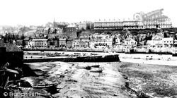
The low tide has left a good deal of Tate Hill sands uncovered.
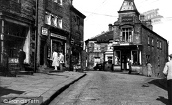
A walk up the hill takes the visitor back a hundred years.
The flat bottom is lined with 45 sheets of Mendip lead.
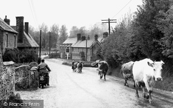
Perhaps the motorcyclist is riding to Corhampton, quarter of a mile away, but he must watch out for the stray cow in the distance.
The ancient name for the village is Barelegh (meaning 'wasteland'), but lush meadows now support flocks of sheep.
We are looking south from Lower Gatesgarth.The pines of Crag Wood are prominent in the centre of the photograph, while the slopes of Dodd sweep up the lake shore beyond.
Places (19)
Photos (2)
Memories (3576)
Books (0)
Maps (4410)


