Places
36 places found.
Those places high-lighted have photos. All locations may have maps, books and memories.
- Bangor, County Down
- Newcastle, County Down
- Greyabbey, County Down
- Donaghadee, County Down
- Downpatrick, County Down
- Portaferry, County Down
- Dromore, County Down
- Downings, Republic of Ireland
- Hillsborough, County Down
- Killyleagh, County Down
- Ardglass, County Down
- Rostrevor, County Down
- Dundrum, County Down
- Newtownards, County Down
- Warrenpoint, County Down
- Ballygowan, County Down
- Ballywalter, County Down
- Ballyward, County Down
- Bishops Court, County Down
- Boardmills, County Down
- Culcavy, County Down
- Katesbridge, County Down
- Killough, County Down
- Millisle, County Down
- Portavogie, County Down
- Saul, County Down
- Seaforde, County Down
- The Diamond, County Down
- Audleystown, County Down
- Kearney, County Down
- Annaclone, County Down
- Ballyhalbert, County Down
- Ballymartin, County Down
- Clare, County Down
- Conlig, County Down
- Dollingstown, County Down
Photos
1,089 photos found. Showing results 941 to 960.
Maps
459 maps found.
Books
47 books found. Showing results 1,129 to 1,152.
Memories
8,147 memories found. Showing results 471 to 480.
A Long Marriage
This is a photograph of the Regent cinema on the right opposite York House in Twickenham where I met my Wife who was an usherette. It has since been knocked down to make way for a garage. She sold me a very long lasting Choc Ice. We ...Read more
A memory of Twickenham in 1955 by
My Memories Of Caversham
I lived in Caversham in 1970-1972 at 11A Bridge Street, above the hairdresser's shop. It was owned by a Mr Simmonds, who was our landlord. There was a newspaper shop about 3 doors up from where we lived. There were our ...Read more
A memory of Caversham in 1970 by
Church Path, Mitcham And The People That Lived There
I was born in Collierswood Maternity Home, a very short time before it was bombed during the Second World War. The year was 1944. My family being homeless were housed in requisitioned properties in Mitcham. ...Read more
A memory of Mitcham in 1944 by
Greenwich In The 1940s And 1950s
I was born, during the Battle of Britain, at 8, Roan Street. Our back yard bordered St Alfege's churchyard. The house is not there any more because it had to be pulled down after the war. We had several 'near-hits' ...Read more
A memory of Greenwich by
Little Boy's Heaven
In 1961 or 1962, as a small boy of 5 or 6 my mum, brought me to Hednesford to visit her grandmother, my great-grandmother, Emily Chetwyn. A diminutive lady, we, the children, called her little nana. I believe she lived in the end ...Read more
A memory of Hednesford by
Off Grid Living
Im hoping that local residents from the late 40s onwards can help. I remember travelling with my family late 1950s to vistit some relations who lived in March, in train carrages bolted together. My memories are vague but they were jolted ...Read more
A memory of March by
My First Look
The first time my father took me under the Hengoed viaduct I remember looking up and said to my dad that one day I would like to walk across it and wondered how long it would take us. When I got a bit older and a bit more interested in the ...Read more
A memory of Hengoed in 1980 by
Infants School
Born and bred in Red Houses (then Red House Estate) at a time when everyone took time and effort to keep their home and gardens beautiful. Everyone knew everybody and it was a community that looked after each other. I remember ...Read more
A memory of High Etherley in 1957 by
Between Wandle And Park Road (Now Centurion Cottages)
I recently moved to Hackbridge SM6 (having previously lived in Sutton/Cheam). I was told that the row of cottages called Centurion, between Park Road and Wandle Road, used to be an industrial ...Read more
A memory of Hackbridge by
My Childhood In Coldharbour
In July 1959, I was born at home, to Eric and Ann Shields in Coldharbour village. My father was the village policeman; we lived in what was then the police house, which was situated next to the village shop opposite ...Read more
A memory of Coldharbour in 1959 by
Captions
2,258 captions found. Showing results 1,129 to 1,152.
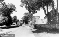
This gem of a village is situated between the North Downs and the Greensand Ridge.
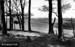
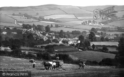
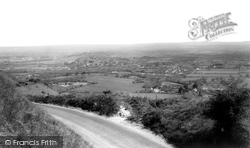
This was taken from the slope below Newfoundland Coppice, looking south-eastwards to Eype Down (centre), with Doghouse Farm in the dip below (right).
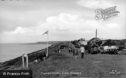
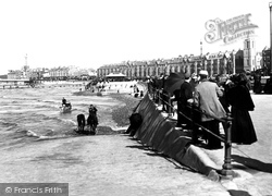
The tide is well in and horses have been taken down to soak their legs in the salt-water.
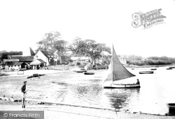
Arthur Ransome described Pin Mill with its 'crowd of yachts and its big brown sailed barges and steamers going up to Ipswich or down to the sea'.
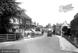
In the background, against the trees, the surviving spire of the 15th-century church looks down on this straggling village on the Romans' Stane Street linking London and Chichester.
Further down the High Street are the gas showrooms. Bishops Waltham is still remembered for having the only privately owned bank in the country.
Further down the road is the 19th-century church of St Mary.
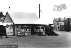
The railway station is Maenclochog was also constructed of corrugated iron and outlasted the railway itself, which closed down completely in 1949.
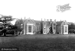
The wonderful setting, deer park and views of the South Downs enhance its beauty. Little has changed here since Tudor times.
The wonderful setting, deer park and views of the South Downs enhance its beauty. Little has changed here since Tudor times.
One of the region's great landmarks, Ditchling Beacon reaches a height of over 800 feet and is the third highest point on the South Downs.
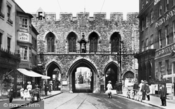
Characterised by pointed arches and fine stonework, the old gate is also renowned for its statue of George III gazing down the High Street, dressed as a Roman and wearing a toga.
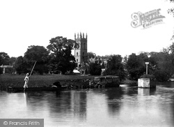
Magdalen College from the Bridge 1938 During the Civil War Royalist forces defended Magdalen Bridge by throwing rocks from the top of the bell tower down on the heads of Parliamentarians below
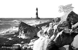
At the eastern extremity of the South Downs, the Royal Sovereign Lighthouse at the foot of Beachy Head warned shipping of the hazards of the chalk cliffs, which now lie under the sea.
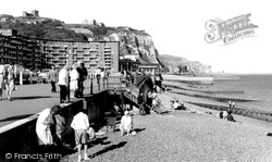
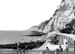
Mary-in-Castro 400 feet above on the cliffs behind, and the famous white cliffs receding into the distance, holidaymakers settle down to enjoy their day at the seaside.
From the High Street, walk down Upper Borough Walls on the site of the town's medieval north wall to turn left into Union Street.
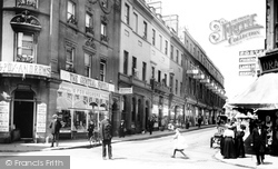
This view looks south down Milsom Street to Old Bond Street.
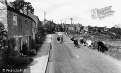
A herd of Shorthorn cattle is driven down the main street of West Witton, which stands at the eastern entrance to Wensleydale.
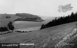
Polegate, with its typical flint walls and buildings, lies just below the extreme eastern end of the South Downs.
Eventually the steep paths lead down to the sea at Holy Well where sea bathing is possible, although the notice warns that it is dangerous when the red flag is flying.
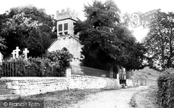
With the grassy downs behind, this is a most delightful medieval church: small and intimate, set in a well treed churchyard, with a most unusual stone bell turret, battlemented and carried on big corbels
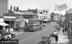
Further down are Woolworth's and Dewhurst Butchers. West Street is the commercial heart of Fareham, described by Thackeray, who spent his school holidays here, as 'a dear little old Hampshire town'.
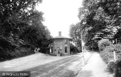
The turnpike closed in 1872, and the building came down in the 1930s.
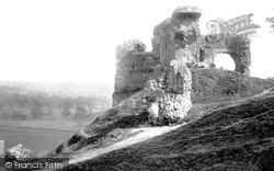
Kendal Castle was built by the Normans to the east of the town, probably by Ivo de Tailbois, the first Lord of Kendal in the late 12th century, and it still commands good views to the north and south-east
Places (198)
Photos (1089)
Memories (8147)
Books (47)
Maps (459)


