Places
36 places found.
Did you mean: street or streetly ?
Those places high-lighted have photos. All locations may have maps, books and memories.
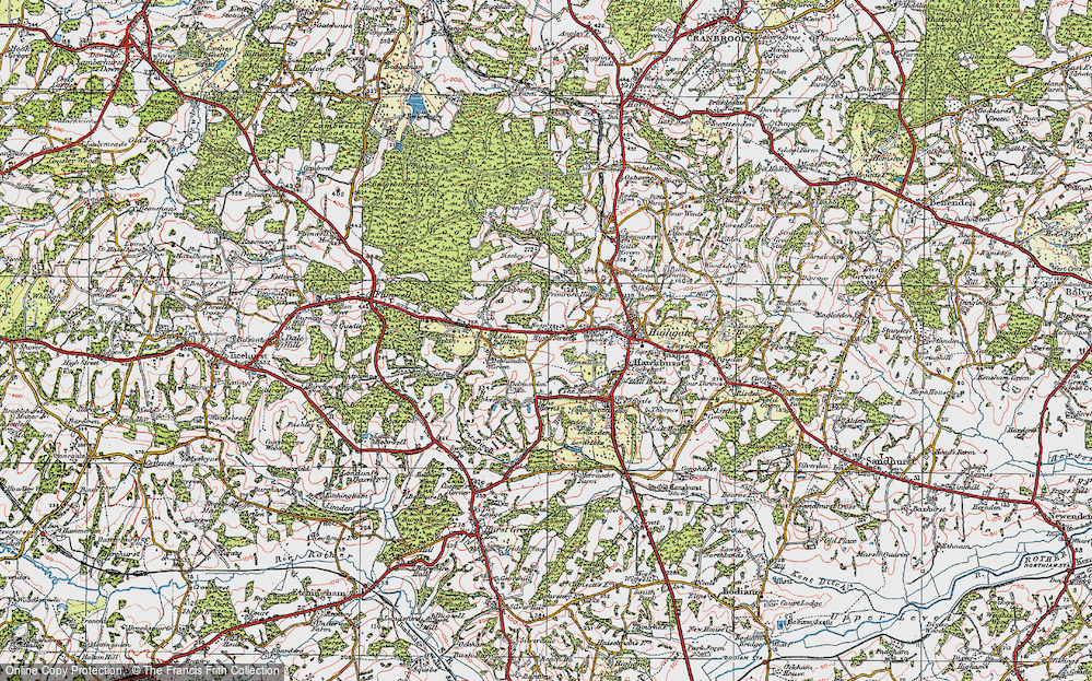
- Heathfield, Sussex (near Cade Street)
- Street, Somerset
- Chester-Le-Street, Durham
- Adwick Le Street, Yorkshire
- Scotch Street, County Armagh
- Friday Street, Surrey
- Potter Street, Essex
- Boughton Street, Kent
- Newgate Street, Hertfordshire
- Streetly, West Midlands
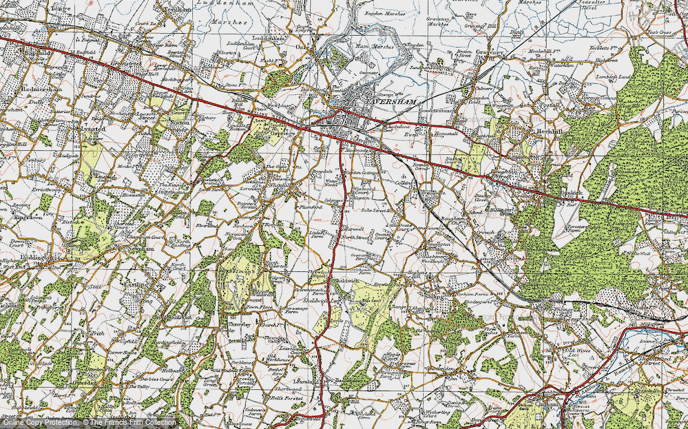
- Shalmsford Street, Kent
- Green Street Green, Greater London
- Boreham Street, Sussex
- Park Street, Hertfordshire
- Cade Street, Sussex
- Appleton-le-Street, Yorkshire
- Hare Street, Hertfordshire (near Buntingford)
- Romney Street, Kent
- Trimley Lower Street, Suffolk
- Streetly End, Cambridgeshire
- Hare Street, Hertfordshire (near Stevenage)
- Brandish Street, Somerset
- Colney Street, Hertfordshire
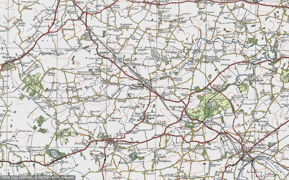
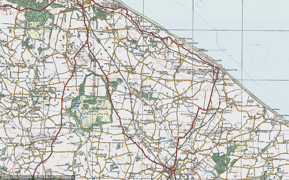
- Langley Street, Norfolk
- Silver Street, Somerset (near Street)
- Street, Yorkshire (near Glaisdale)
- Street, Lancashire
- Street, Devon
- Street, Cumbria (near Orton)
- Street, Somerset (near Chard)
- Bird Street, Suffolk
- Black Street, Suffolk
- Ash Street, Suffolk
- Broad Street, Wiltshire
- Brome Street, Suffolk
- Penn Street, Buckinghamshire
Photos
24,921 photos found. Showing results 1,101 to 1,120.
Your search returned a large number of results. Please try to refine your search further.
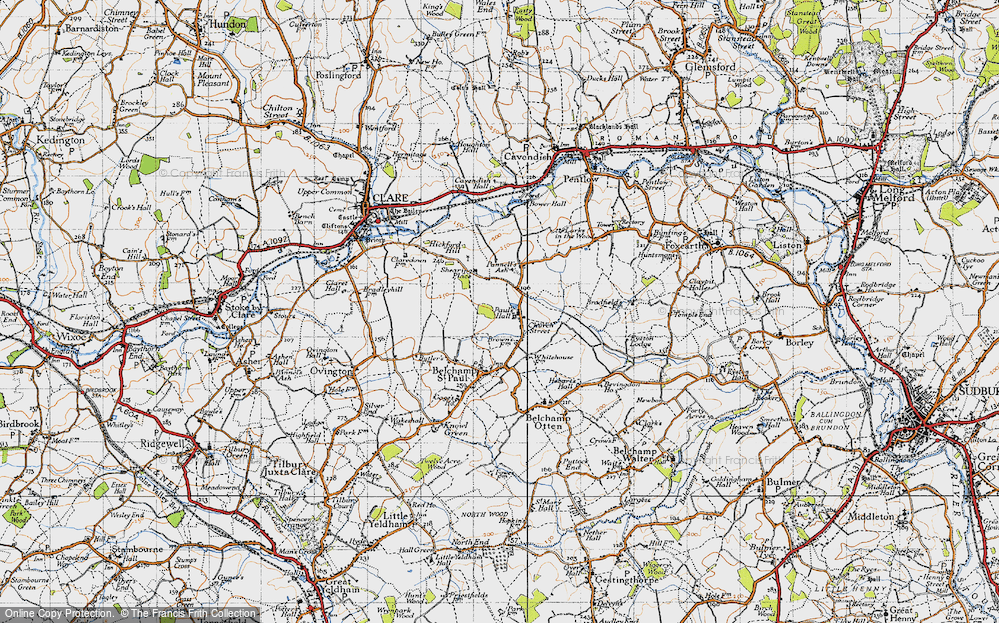
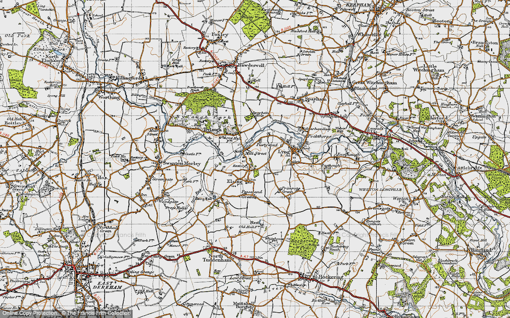
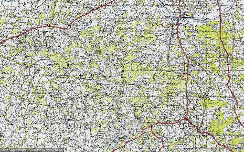
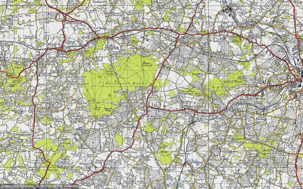
Maps
1,622 maps found.
Books
3 books found. Showing results 1,321 to 3.
Memories
6,667 memories found. Showing results 551 to 560.
Nash School
I went to live in Nash in 1955 as a foster child. I attended Nash School from 1955 - 1958 when Mrs Jones was the headmistress. The school sadly closed in 1958 and we were moved to Burford School near Tenbury Wells. Life at Nash ...Read more
A memory of Tenbury Wells in 1955 by
Buses
I had forgotten that the buses used to use the area in front of the abbey as a terminus. I lived in Selby from my birth in 1954 until 1972. I frequently caught a bus from the corner of Buller Street & Flaxley Road to school on Abbotts Road. ...Read more
A memory of Selby by
The Taylors Of Well Street
I have recently aquired a picture (thanks to Lyn of Elton History Society) of the cottages in Well Street where my ancestors lived but sadly they were demolished in 1930.
A memory of Elton by
The Shop
Church Street, at the end of this my parent's shop, home until dad decided to retire to Badby. Next door the Roman Catholic church. Anyone else remember the processions down Church Street when it was Remembrance Sunday or the Church ...Read more
A memory of Lower Weedon in 1955 by
Policing Redditch
The policeman in this photograph, much to my amazement, is me! I joined the Worcestershire Constabulary in 1961 and worked at Redditch from 1961 to 1965, when I then went to be a 'village bobby' at Oldswinford in Stourbridge. We had ...Read more
A memory of Redditch in 1961 by
Monton Green C1950
In 1950 the paths and green at Monton Green had been newly laid out as it exists today. The paths were red gravel and if you so much as scuffed your boots in the gravel there was a 'park keeper' to reprimand you. I had my photo taken ...Read more
A memory of Eccles in 1950 by
Main Street, Cippenham
This Main Street is the A4 Bath Road approaching Everret's Corner from Taplow direction toward Slough. Slough was the (Road) Safety Town.
A memory of Cippenham in 1965 by
John Street
My grandfather lived in John Street and kept lots of chickens. As everything was rationed during my childhood we were very lucky to have eggs from him. I remember calling in with my dad to collect eggs and to see a wire mesh area ...Read more
A memory of Nantyffyllon in 1945 by
The Ferries
There were 2 ferries in the mid-1950s when I was about 12. Clarke's as in the photo was a chain ferry and the cost was tuppence - ie 2 pence. The other ferry, Wilson's, opposite the church was pole driven and cost 1 penny. Some years later ...Read more
A memory of Sunbury in 1955
Captions
5,435 captions found. Showing results 1,321 to 1,344.
When the High Street was built up, a tunnel was created to maintain access to the court, which has now been opened up onto Little Church Street at the back.
In Eliza Street, a number of children are at play.
Looking west along the High Street, we see buildings which are characteristic of North Norfolk: flints set in mortar, with brick facings.
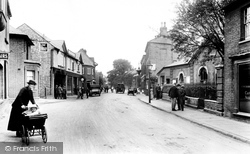
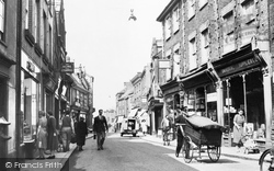
Traffic congestion is still waiting to hit Norwich Street. Even the postman is using a hand-pushed cart to make his deliveries.
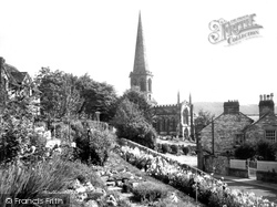
This view of the church is taken from South Church Street, probably within the garden of what is now the house 'Braeside'.
Looking west along the High Street, we see buildings which are characteristic of North Norfolk: flints set in mortar, with brick facings.
The High Street becomes Freebrough Road and leads out on to the
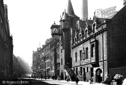
In the great days of the Old Town, Canongate Street was where members of the Scottish aristocracy had their town houses.
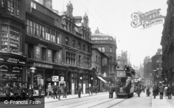
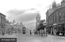
Electric street tramcars were introduced in the city from 1898 and ran until 1950.
One coachbuilder was John Mumford who had left the town but returned in 1834 and set up in business in West Street. He
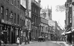
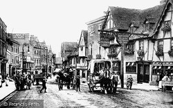
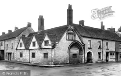
The late 15th-century half-timbered Chequers Inn, with its gabled frontage and a swinging sign said to have been put up in the reign of Elizabeth I, stands on the west side of this busy street.
The late 15th-century half-timbered Chequers Inn, with its gabled frontage and a swinging sign said to have been put up in the reign of Elizabeth I, stands on the west side of this busy street.
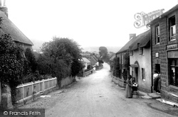
In the street is Mrs Kate Foss wuth Kathleen Mary Foss, holding everyone's attention in the pram. The latter would marry Wilf Symes and become the village postmistress.
These opposing views of the High Street are photographed at five year intervals.
This lively low-angle shot, virtually from ground level, looks north-eastwards along the Market Place and the northern side of East Street at its western end.
West Street is a mile long, and this section is now pedestrianised.
As with the other streets in the village, the High Street has also had more than its fair share of change. The Lincoln Co-op (left) has gone along with part of the building.
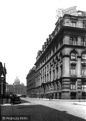
We are looking up Aytoun Street towards Piccadilly, with the dome of the Infirmary building in the square, and the Grand Hotel building dominating the right of the photograph.
New buildings along North Street included the Court House (1831) and the Mechanics' Institute (1834). The Post Office of 1839 was superseded by a new one in Bow Street (1891).
As with the other streets in the village, the High Street has also had more than its fair share of change. The Lincoln Co-op (left) has gone along with part of the building.
The Hospital of the Order of St John the Baptist is situated at the junction of the Lower High Street and St John`s Street and by St John`s Bridge.
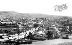
The main street of Allington village (bottom left) leads into this panorama of Bridport, looking south-east from the town's open country, with St Swithun's Church the prominent building (centre right).
On the north side of the street the confident commercial frontage is that of the Wilts and Dorset Bank, which was absorbed into Lloyds (right).
The view is flanked on the right by the Primitive Methodist church, built in 1907 at a cost of £4,000 to replace an earlier chapel in Chapel Street, off Chaloner Street.
Places (385)
Photos (24921)
Memories (6667)
Books (3)
Maps (1622)


