

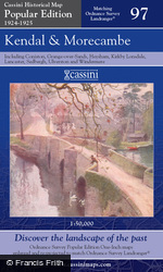
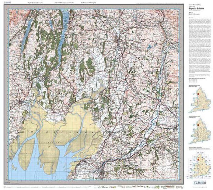
Kendal & Morecambe Popular Edition Sheet Map

These maps are taken from Ordnance Survey's Popular Edition maps which were first published between 1919 and 1926. They have all been carefully scanned, digitally re-projected and enlarged to match the present-day Ordnance Survey Landranger® series. Each Popular Edition map is directly comparable with the corresponding Ordnance Survey Landranger® and uses the same sheet number and grid references, so enabling the past and the present to be compared with ease and accuracy. Popular Edition maps have the same name, reference number and coverage as the appropriate Ordnance Survey Landranger®.
About This Map
- Format:
- Folded Sheet Map
- Map title:
- Kendal & Morecambe
- Size:
-
Folded: 13.5cm x 22.5cm (approx. 5" x 9")
Opened: 100 cm x 89 cm (approx. 39" x 35") - Series:
- Popular Edition Sheet Maps
- Map year:
- 1924
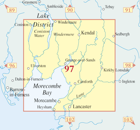
- Sheet No.:
- 97
- Coverage:
- 42 x 24 miles (Approximate)
- Places:
- See covered places
- Map ISBN:
- 978-1-84736-222-3
- Delivery:
-
Printed to order: up to 7-10 working days
Express delivery is unavailable.
Price
£15.99
Buy flat/framed
This map is also available as a flat sheet with an optional choice of frame too!
Buy Flat, Framed or on Canvas >>


