Places
36 places found.
Those places high-lighted have photos. All locations may have maps, books and memories.
- Cardiff, South Glamorgan
- Barry, South Glamorgan
- Penarth, South Glamorgan
- Rhoose, South Glamorgan
- St Athan, South Glamorgan
- Cowbridge, South Glamorgan
- South Molton, Devon
- Llantwit Major, South Glamorgan
- Chipping Sodbury, Avon
- South Chingford, Greater London
- South Shields, Tyne and Wear
- Ayr, Strathclyde
- St Donat's, South Glamorgan
- Llanblethian, South Glamorgan
- Thornbury, Avon
- Llandough, South Glamorgan
- Fonmon, South Glamorgan
- St Nicholas, South Glamorgan
- Jarrow, Tyne and Wear
- Penmark, South Glamorgan
- Font-y-gary, South Glamorgan
- Maybole, Strathclyde
- Yate, Avon
- Oxford, Oxfordshire
- Torquay, Devon
- Newquay, Cornwall
- Salisbury, Wiltshire
- Bournemouth, Dorset
- St Ives, Cornwall
- Falmouth, Cornwall
- Guildford, Surrey
- Bath, Avon
- Looe, Cornwall
- Reigate, Surrey
- Minehead, Somerset
- Bude, Cornwall
Photos
5,607 photos found. Showing results 361 to 380.
Maps
2,499 maps found.
Books
23 books found. Showing results 433 to 23.
Memories
1,580 memories found. Showing results 181 to 190.
Growing Up
I was born in Ponty in 1957 and left for South Africa in 1966. We lived in 11 Hill View opposite the school. My Dad, Allan Hatch worked in the pits. I remember the chap who looked after the school had twins, Michael and Malcolm whose ...Read more
A memory of Pontycymer in 1966 by
Colerne In The Second World War Continued
Those of us at Colerne school who passed our 'scholarship' exam at the age of about eleven usually went on to Chippenham Secondary School, which probably goes under a different name now: it's at Hardenhuish, ...Read more
A memory of Colerne in 1940 by
Evacuation
We were evacuated to North Molton during the Second World War, I remember going to the school and being billeted in various homes, one on the hill near a baker's shop - what lovely smells. I also remember the Lysander plane that crashed ...Read more
A memory of Swimbridge in 1940 by
Some Childhood Years In Sorbie 1932 T0 1937
The family moved from Reay in Caithness to Sorbie in 1932 - I was 2 years old and had a sister who was 12 years old and a brother, 10 years old, so there was a huge difference in ages and I was brought up as ...Read more
A memory of Sorbie in 1930 by
Victoria Park Latchford
I remember when there used to be a place in Victoria Park, Latchford, called `The Pavillion'. It had a row of bushes beside it - dividing it from a sunken paddling pond that had rather ornate brick walls around it and steps ...Read more
A memory of Warrington in 1945
First Holiday
My first holiday was when I was 9 years old (in 1958) and my parents and I came to Goodrington. We stayed at Beech Hurst which if I remember correctly was in Youngs Park Road. It was lovely. I made friends with a girl who lived next ...Read more
A memory of Goodrington in 1958 by
Happy Memories Of South Woodford
My family lived in Hillcrest Road, South Woodford from 1960 to 1973. I had a very very happy childhood there (am still happy though) but had to move to Brighton to attend a deaf school and to avoid the need to ...Read more
A memory of South Woodford in 1965 by
Almondsbury South Gloucester
Where do I start ? Living in Monmouth House on the top of Almondsbury Hill. going to Almondsbury village school sitting next to Tony Evans, head of the Patchway gang & a brilliant football goalkeeper. Gaffer ...Read more
A memory of Almondsbury in 1940 by
Ackworth
My grandparents (Mr and Mrs Scorah) used to live in Town End Avenue, Low Ackworth. I remember visiting them with my mother, while my dad was at war. We used to catch the bus from Scunthorpe to Waterdale, Doncaster. Then we would dash ...Read more
A memory of Ackworth in 1940 by
The Name Of The Hoy And Helmet Pub
On the left of this photograph is The Hoy & Helmet pub at South Benfleet, which was originally built in the 15th century, with later extensions. The ‘hoy’ of the pub’s intriguing name was a broad, ...Read more
A memory of South Benfleet by
Captions
2,476 captions found. Showing results 433 to 456.
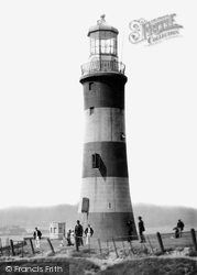
This lighthouse once occupied the feared Eddystone Rock, 14 miles south of the Hoe.
Elsecar was one of the many collieries which formerly existed in the South Yorkshire coalfield around the village of Hoyland.
Locals pronounce Slaithwaite 'Slawit', and this bustling village in the valley of the River Calder four miles south-west of Huddersfield is another one with Norse origins.
Its streets, North, South, East and West, follow the pattern laid down by the Romans.
South of the market-place, the old grammar school is centred around a wide, seven-bay red-brick building of 1765.
The Lady Stanley sailed every day from the south end of the Parade to Weston Point.
The Mill Bridge in the pretty hamlet of Alport crosses the River Bradford near its confluence with the Lathkill, three miles south of Bakewell.
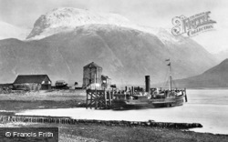
In the background to the south-east is Ben Nevis. The mountain once boasted a hostel and an observatory on its summit. The observatory lasted from 1883 to 1904, and the hostel closed in 1915.
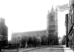
Haymarket is a smaller-scale market on the south-east side of the church.
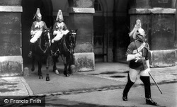
The equivalent block on the south side was built for the foot guards.
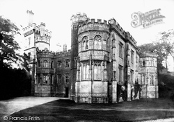
Its battlemented south front is imposing and grand.
The Littletons - North, Middle and South - form almost one long village in the countryside close to Evesham.
South Warren Hill rises to form the skyline in this picture, taken from the highway between Rose Cottage (left) and Rock Cottage (right).
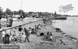
Dovercourt lies south of Harwich. Here we have a busy scene, with most of those enjoying the beach placing their deckchairs close to the sea wall.
Fittingly, it stands high on a hill over- looking the dockyard from which HMS 'Doris' would have sailed to South Africa.
His memorial in the south aisle is emblazoned with the stars and stripes which were to be perpetuated in the United States' flag.
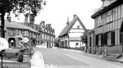
Scole is on the old main road south from Norwich.
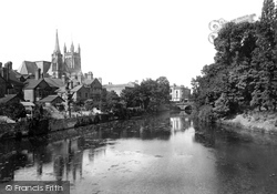
The village was confined to the south bank of the river; the development of the north bank did not take place until the building of the Victoria Bridge.
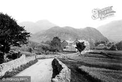
The traffic-free minor road meanders south between drystone walls through the dale, towards Grange and Rosthwaite.
Another open area of Newton Abbot is Decoy, to the south of town. With playing fields, a recreation area, a lake and woodlands, it is very popular with the local townspeople.
By this time, Felixstowe was at the height of its popularity as a seaside resort, with its south-facing beach.
King's Norton, 'a praty uplandyshe towne', according to the topographer Leland, lies a few miles south of Birmingham, to which city - rather than Worcestershire - it now belongs.
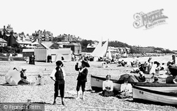
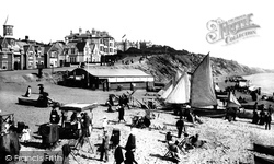
This view, with well-clad visitors strolling along the beach and sailing boats drawn up on the shore, shows a south coast beach before development and formalisation changed its character.
The village was confined to the south bank of the river; the development of the north bank did not take place until the building of the Victoria Bridge.
Places (15471)
Photos (5607)
Memories (1580)
Books (23)
Maps (2499)


