Places
2 places found.
Did you mean: the broad or the brooks or the broats ?
Those places high-lighted have photos. All locations may have maps, books and memories.
Photos
222 photos found. Showing results 361 to 222.
Maps
9 maps found.
Books
2 books found. Showing results 433 to 2.
Memories
463 memories found. Showing results 181 to 190.
Farming At Stocks Farm 1957 58
Ernie Styles and I started work on my stepfather and mother's farm (Patrick and Annette Lawford) when we were both 17 (1957). There was also Reg Whittear (mechanic/tractor driver, John Spreadbury and George Langridge. ...Read more
A memory of Meonstoke by
The Good Old Days
I remember when I was about ten or eleven, we used to camp out in the back field behind the flats in Rockford Avenue, four or five of us in a two-man tent. After a rough nights sleep we would get up early in the morning ...Read more
A memory of Kirkby in 1960 by
A Long Line Of Pennies
I'm Not sure whether that was the actual date but as a child of five I recall my mother standing on the top step of our home where she would watch me go over the brow of the bridge on Midland Road on my way to school: ...Read more
A memory of Royston in 1954 by
Memories Of Langton Green And Rusthall
I was born at 3 Dornden Cottages in June 1942. My father (Charles Harris) was Chauffer to Mr Coombe at Dornden. Unfortunately Mr Coombe died around 1947 and we had to move out of our cottage as it was a ...Read more
A memory of Langton Green in 1942 by
Childhood In Minster
My two brothers, my sister and I were all born in Minster in what is now called Turner Cottage but was then "The Swifts". My granddad was a village postman and my best friend's granddad was also a postman and we ...Read more
A memory of Minster in 1968
The Railway Children
During the war years in 1940, we moved from Doncaster to Rossington. My father worked on the railway and felt we would be safer in the country. We lived at 254 Gatehouse Crossing and later in 1948, at 383 Gatehouse, Bessacarr. ...Read more
A memory of Finningley in 1940 by
Macilroys
So far as I know never was called Oxford Street its always been called Oxford road. My grandfather also Frank, met my grandmother, Dora, when they both worked for Macilroys before the Great War. I believe Macilroys was the large ...Read more
A memory of Reading by
Sense Of History
There is a sense of history by walking along Church Street with its deep guttering, for the times when and where horses were the transport and along to the Church, the Palace Of Eastry, Eastry Court and then Eastry farm and the C. of ...Read more
A memory of Eastry by
I Remember Bob & Minnie Dudden Well
My grandfather used to go fishing at Bury, and introduced this lovely spot to my father. He would cycle down to bury from London as a young man, pre WW2. In the 1950's we would drive down and picnic by the river. ...Read more
A memory of Bury in 1959 by
1937 Onwards
I have fond memories of Winchmore Hill where I was born in 1937. We lived in Hadley Way till about 1949, then moved to Slades Hill in Enfield. I went to St Pauls School (Mr Gayler) then Minchenden. I well remember The Intimate ...Read more
A memory of Winchmore Hill
Captions
458 captions found. Showing results 433 to 456.
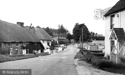
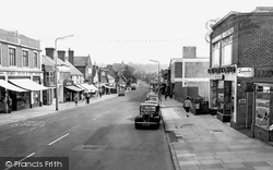
The main road we see in this photograph is the busy A343 Andover to Salisbury route. At the foot of the hill is a junction. Left is for Nether Wallop and right is for Over Wallop.
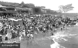
From the end of the pier Ramsgate looks very well indeed.
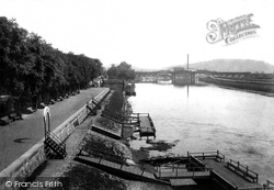
Passengers boarded vessels at the landing stages to take trips to Colwick Park. A lock linked the river and Nottingham Canal at the projection near the end of the walkway.
Here we see it from Wallasey Road looking up what has always been known as Liscard Village, even though it is a road.
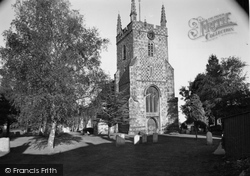
This last view of St Mary's Church gives a clearer impression of the relatively unrestored tower stonework.
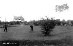
The clubhouse of the Banstead Downs Golf Club is seen in the distance.
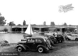
By the river, a road leads off Walton Lane under the bridge towards Walton Marina.
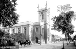
Mrs Hitchman, widow of Dr Hitchman, donated the site for this church together with a large sum of money.
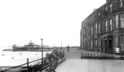
The houses on the right were soon turned into cafes to serve the ever-growing numbers of holidaymakers. They would advertise breakfasts bigger than each other, vying with each other for customers.
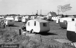
The author and his family have had many a happy holiday on this site. My parents eventually had several vans on this field.
Heysham became the centre for travel to the Isle of Man, and in 1923 the Fleetwood services were transferred there.
The Gwyn Hall, on the left, was built in 1887. The land was donated by Hywel Gwyn, and a statue of him was unveiled outside a year later.
Our last view in this chapter before turning north back to Hailsham shows the Horse and Groom pub at the junction of the High Street and the Eastbourne Road, the A22.
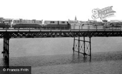
Obviously still viable in these photographs, Southport Pier was closed in the 1990s; it was demolished and rebuilt at a total cost of £7 million, and was reopened in 2002.
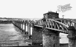
When it opened in October 1879, the Severn Railway Bridge was hailed as wonder of engineering.
Mid-way between Chailey and Haywards Heath is Scaynes Hill, and this photograph shows the summit of the hill. Though there is still a pub here, it is now called the Farmers.
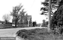
This village has grown around a road junction on the Horsham to Brighton road.
King James I beggared the Hoghtons by overstaying on a visit with all his retainers.
Laindon and Langdon Hills had always been separate villages with long histories, and even appeared as separate entries in the 1086 Domesday Book.
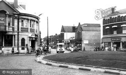
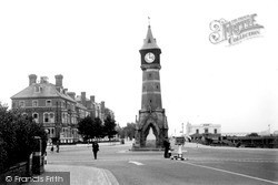
The clock tower was built to celebrate Queen Victoria's Diamond Jubilee in 1898. It now has a much larger traffic island around it, and during the holiday season it is a very busy place indeed.
George Hilton`s business (extreme left) had expanded across the road to the newly built brick building on the right of the photograph.
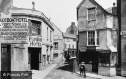
The Pilot Boat Hotel (left) is pictured in the time of Robert Warren, advertising livery stables, carriages and transport for invalids, as well as daily coaches to and from Bridport, which was
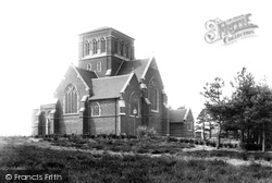
The Baptistry extends and projects to the south at the west end like a porch, and has two rounded angle buttresses with solid pinnacles.
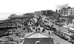
During the 1920s and 30s, Worthing continued to rapidly expand.
Places (2)
Photos (222)
Memories (463)
Books (2)
Maps (9)


