Places
19 places found.
Those places high-lighted have photos. All locations may have maps, books and memories.
- Hill of Mountblairy, Grampian
- Hill of Banchory, Grampian
- Hill of Fearn, Highlands
- Rocky Hill, Isles of Scilly
- Hill of Beath, Fife (near Dunfermline)
- Hill of Drip, Central Scotland
- Hunny Hill, Isle of Wight
- Quarr Hill, Isle of Wight
- Quine's Hill, Isle of Man
- Kite Hill, Isle of Wight
- Broom Hill, Avon
- Merry Hill, West Midlands
- Rose Hill, Derbyshire
- Cinder Hill, West Midlands
- Barton Hill, Avon
- Spring Hill, West Midlands
- Golden Hill, Avon
- West Hill, Yorkshire
- Oak Hill, Staffordshire
Photos
2 photos found. Showing results 1,121 to 2.
Maps
4,410 maps found.
Books
Sorry, no books were found that related to your search.
Memories
3,579 memories found. Showing results 561 to 570.
Northolt
We were living in 97dabbs hill lane. My dad won the pools(274.oo) at the time a lot of money .He bought probably the first car in the street! I had two brothers john .a bit of a baddie! And Dennis who was gay. Both of them dead now as are ...Read more
A memory of Northolt in 1950 by
Our Ladies High School 1950 1960
I was born in 1943 and lived in Wilmington. I initially went to an infant school in Oakfield Lane, however, my mother was told by the Sisters of Charity that they should pay for me to go to a Catholic school ...Read more
A memory of Dartford in 1950 by
Long Lost Love
I never really knew of Weeford even tho I was born and brought up in Birmingham and travelled to Lichfield, Cannock and many places around that area. This fact changed tho a couple of years ago when after trying to find old frieinds, ...Read more
A memory of Weeford in 1977 by
Born And Bred In Hockham.
I was born in hockham 1953. my mum and brother still live there. lovely memories playing on the hill which it was called then. going too the lion pub and getting a bottle of coke and a bag of crisps going back on the ...Read more
A memory of Great Hockham by
Bexleyheath Circa 1950's
I lived in Faygate Crescent, Bexleyheath. Schools I remember attending are Upton Rd, Gravel Hill and Bexleyheath Secondary Modern. I have fond memories of chatting to the girls school across the playing fields from ...Read more
A memory of Bexleyheath in 1950 by
'lozells', Such An Exotic Sounding Place.
We lived in Gerrard Street, Lozells, until I was about 6. My father had an allotment where we would go and play, I still have a photo taken when I was about 4 of my father, older brother, and myself at the ...Read more
A memory of Birmingham in 1952 by
Fond Memories Of Abercregan
I was born in Abercregan in Prossers Terrace (41) along with my parents George Chewings, Edna and my two older brothers Michael and Thomas, also a younger sister Janice. My grand parents lived at no. 44 Tom and Cassie. ...Read more
A memory of Abercregan in 1966 by
Our New House
I grew up in 18 church street until 1955/6, when we moved to 69 Holts Lane it was a brand new house at the time, then in 1962 "I was adopted", and we moved to 47 field avenue Hatton also a brand new house, a new 'name' for me, my ...Read more
A memory of Tutbury in 1955 by
Brentford
What wonderful memories of Brentford. My name was Dorothy Pearce I lived in Netley Road with sisters Beryl and Hazel and brothers Richard and Philip. My Nan lived in Potteery Road next door to Edie Joyce. The Shepherds lived opposite ...Read more
A memory of Brentford in 1943 by
Happy Times At Holcombe Devon
My Gran and Grandpa had a cottage in Holcombe Village "shrimp Cottage" at the top of the hill. This cottage was later left to me, but I sold it in the 60s during the slump!!! I have some wonderful ...Read more
A memory of Holcombe in 1958 by
Captions
1,732 captions found. Showing results 1,345 to 1,368.
Today, of course, it has Butlins Holiday Camp to support its holiday trade.
This route heads for the beautiful Mendip Hills, the carboniferous limestone ridge that separates the Avon valley and Bath and Bristol from the rest of Somerset.
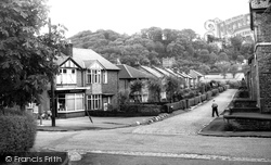
The Victorian villas on the Edge can clearly be seen at the end of the road and across the field, then known as Lifeless Moss.
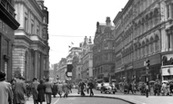
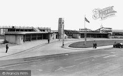
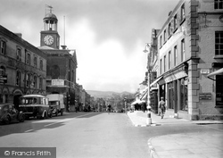
Very much an architectural relic of a former age, including its clock tower, the bus station looks very similar today, except that the high-level balcony on the left has gone.
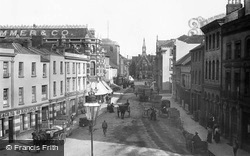
Hat manufacturers and accessory wholesalers occupy most of the buildings shown in this reverse view to 39699 (page 22).
This featureless wave of suburbia grew up in the 1930s to cover the fields between Harrow-on-the-Hill and Pinner.
Now known as Truro School, the college was founded on the hill overlooking the city 10 years before this photograph was taken, 'affording a thorough English education at a moderate cost' for up to 120
There was a settlement on this site in prehistoric times, but the first documentary reference to 'Bramwice' was in 1168. The name referred to the wild broom which grew here.
Beacon Hill, in the distance, was in the chain of warning beacons established when French and later Spanish invasions were feared in the 16th century.
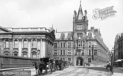
Hansom cabs line up on Senate House Hill, alongside the elegant classically styled Senate House, the 'Parliament' building for the University.
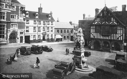
On the left is Barclays Bank, next to the Rose and Crown, which was gutted by fire in 1969.
Nestling just under the hills surrounding the North York Moors is the old settlement of Ampleforth, built around the early abbey of St Lawrence.
This village is at the very heart of so called 'witch country'.
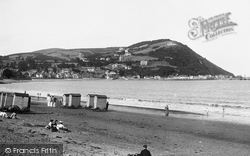
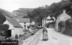
In the background are the spectacular contours of Lion Rock.
In the background are the spectacular contours of Lion Rock.
This town, known to its inhabitants as 'Mach', is situated at the far north-west corner of Powys, so distant that it is also in the Snowdonia National Park and just ten miles from the sea.
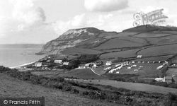
Golden Cap rises at the centre, with tree-coverd Langdon Hill (top right) to landward.
This is a closer view of the Church of St Thomas. One might almost call it a utility building.
This pleasant market town lies just inland from the chalets and caravans of the 'honky-tonk' north coast between Rhyl and Colwyn Bay.
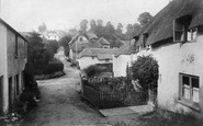
We are looking south-west down Crofts End, the lane which leads from Crofts End itself at the top of the hill behind the photographer to the main through road.
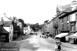
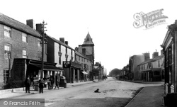
Deep shadows engulf the Greyhound Hotel (left), with the Town Hall behind, in this lunchtime view westwards to Colmer`s Hill (centre).
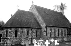
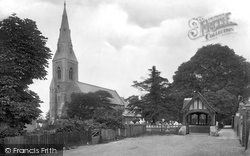
The broach spire of the church with its lancet windows and its tower were added to the original structure in 1870.
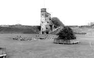
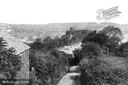
This photograph was taken from Windmill Hill, the only point in the town that is higher than the castle. The road curving up to the left of the castle is Roydon Road, known at this time as Zulu Road.
A fine view of the Welsh mountains can be had from the 14th-century spire set on a tower. Richard Massock's tomb is here – he was a Royalist captured at the Battle of Aughton Common.
Places (19)
Photos (2)
Memories (3579)
Books (0)
Maps (4410)


