Places
36 places found.
Those places high-lighted have photos. All locations may have maps, books and memories.
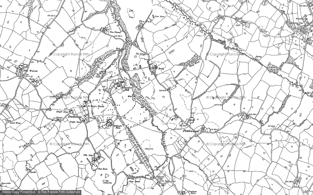
- Pentre-cwrt, Dyfed
- Pentre Halkyn, Clwyd
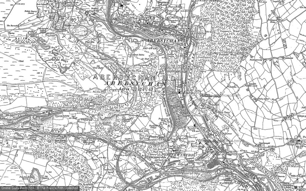
- Pentre, Mid Glamorgan
- Ton Pentre, Mid Glamorgan
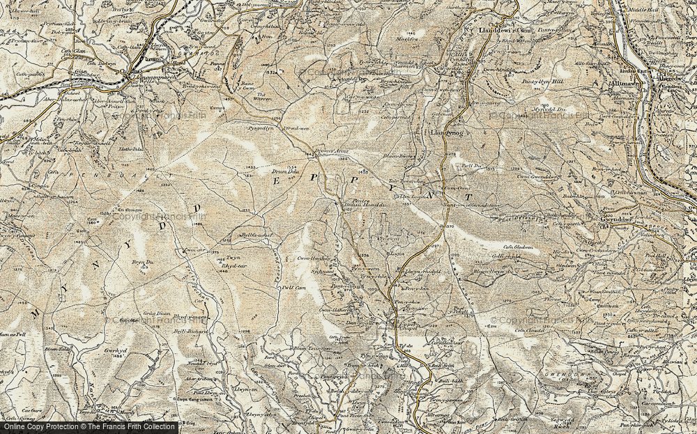
- Pentre, Powys (near Llangynog)
- Pentre, Powys (near Guilsfield)
- Pentre, Powys (near Bishop's Castle)
- Pentre, Dyfed (near Pontyates)
- Pentre, Powys (near Newtown)
- Pentre, Clwyd (near Mold)
- Pentre, Clwyd (near Ruabon)
- Pentre, Shropshire (near Chirk)
- Pentre, Clwyd (near Hawarden)
- Pentre, Clwyd (near Chirk)
- Pentre, Clwyd (near Ruthin)
- Pentre, Clwyd (near Mold)
- Pentre, Shropshire (near Oswestry)
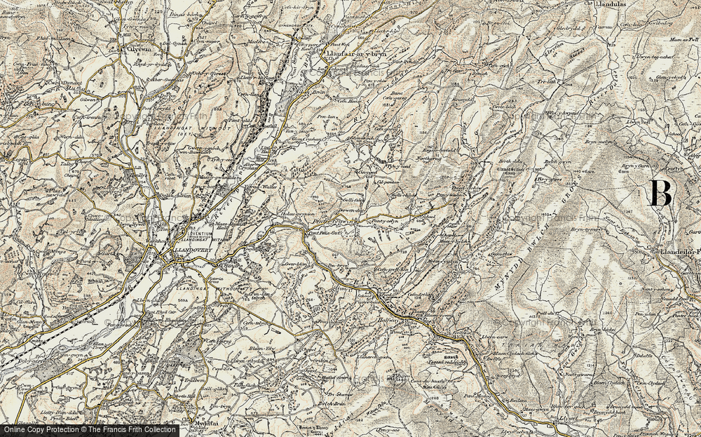
- Pentre, Powys (near Welshpool)
- Pentre, Clwyd (near Mold)
- Pentre, Shropshire (near Forton)
- Pentre Broughton, Clwyd
- Pentre Gwynfryn, Gwynedd
- Pentre Maelor, Clwyd
- Pentre-clawdd, Shropshire
- Pentre Galar, Dyfed
- Pentre Llifior, Powys
- Pentre-cefn, Shropshire
- Pentre-Gwenlais, Dyfed
- Pentre-Poeth, Dyfed
- Burntwood Pentre, Clwyd
- Pentre Berw, Gwynedd
- Pentre Hodre, Shropshire
- Pentre Llanrhaeadr, Clwyd
- Pentre-celyn, Clwyd
- Pentre Cilgwyn, Clwyd
- Pentre Morgan, Dyfed
Photos
98 photos found. Showing results 241 to 98.
Maps
316 maps found.
Books
2 books found. Showing results 289 to 2.
Memories
1,253 memories found. Showing results 121 to 130.
Delivering Our Daily Bread
The picture shown is of Russell Road which runs left to right centre of the picture. Every day except Sunday during the early 1960s I used to deliver bread all around Weston Point and remember well reversing my Co-op van up ...Read more
A memory of Runcorn in 1961 by
Growing Up In Dartford
I lived in Dartford from 1955 (born in West Hill Hospital) til 1977 when I moved to Wales. My dad was manager of the"Bacca Pouch" next to the old Post Office , and opposite the back entrance to the Co-op. He then had the ...Read more
A memory of Dartford in 1955 by
Cranford 1975 80
Hello. I used to live on Berkeley Ave. I remember the parade of shops. There was a row of Co-op shops, baker, butcher, mini market and I think a green grocer. After the shops was an alley where there was a milk company, I think that ...Read more
A memory of Cranford in 1978 by
The Real Winters Of The 1940s
I recall, with the occasional shudder, the freezing cold winters of the 1940s. I spent Saturday evenings earning a couple of shillings (that's 10p to you youngsters!!) working from 4.30pm to 6.00pm selling newspapers ...Read more
A memory of Motspur Park in 1948 by
Drake Street
I was born in Rochdale in 1934. I attended Champness Hall Sunday School, 1940 -52, which was situated just below the Rochdale Observer offices (on the left of the photo). It was a large Methodist Central Hall with offices used by local ...Read more
A memory of Rochdale in 1952 by
Mobo Horses
We moved to Prestatyn in 1948. I loved the Mobo horses that the little ones could ride at the Bastion Road beach. My little school was Pendre, up the hill Fforddlas I think. Also going to St Chad's School annual fair and sale. Always ...Read more
A memory of Prestatyn in 1950 by
Harrogate Station Square
Here is Station Square appearing as its architects intended, an open airy town centre piece. The gardens in the foreground are the Coronation Gardens of c.1953, which complimented the Victorian square admirably. Just as this ...Read more
A memory of Harrogate in 1965 by
Opening Of The 'new' Woolstore
Now living in Australia but have also lived in NZL and the Pacific Islands, Fiji Tonga etc. Used to be a member of the Horndon Scouts and played in the band. We were asked to lead a march to mark the opening of ...Read more
A memory of Horndon on the Hill in 1971 by
Aggies
This is looking down Station Road, the station is at the bottom of the hill. To the right centre can be seen the smoke and steam of a train rising above the trees. I remember walking up here as a boy when it was still unmade. The large ...Read more
A memory of South Benfleet in 1970 by
Pastures Avenue, Nottingham
I remember Clifton in a different light. We lived at 17 Pastures Avenue during 1966/7, my brother or one of them, he's the youngest, was born there. I met my half sisters and brothers there. I have always liked ...Read more
A memory of Newark-on-Trent in 1967 by
Captions
3,593 captions found. Showing results 289 to 312.
This view shows the eastern gallery of the underground cliff quarry with one of George Burt's inscriptions (centre left) giving its potted history: 'These caves were formed centuries ago by
In the 1950s it was a typical town centre park with seats, walks and flower beds, but all this changed when the Leisure Centre arrived in 1971-76, with its pyramidal pool building and large sports
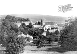
This beautiful view, seen from the path up the hill towards Miles Cross, looks north to the Manor House (top left) and its thatched 17th-century barn (right of centre).
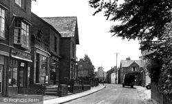
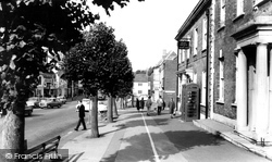
These two photographs, taken in Village Road, depict the old village centre. The scene has changed remarkably little over the years, apart from what is sold in the shops.
The church building is now used by the charity Christian Concern, and the building is actually used as a centre for second-hand furniture. It is known as St Paul's Centre.
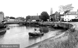
This view is looking towards the town centre, and the boat ('BN3', a Boston-registered boat) is heading out to the Wash and the North Sea.
Further up the street (centre right) are signs for Roberts grocers and E Lewis, a glass and china dealer.
This picture looks westwards down the north side of West Street, with its lollipop limes, from the Post Office to Victoria Grove (right of centre).
Shingle was still being removed from the wide shingle beach (bottom left), and the branch line had been extended to the seaside at West Bay Station (centre right).
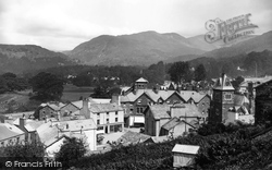
Here we have a fine overview of the town centre against a backdrop of the Fairfield Horseshoe group of mountains.
More recently the whole structure has again been moved, this time back to the centre of town near the Arts Centre.
The centre of Staines, like that of many other towns in the vicinity of London, has been rebuilt during the last century.
This is the classic view of Golden Cap (centre), literally gold when its sandy top catches the sun; at 618ft above sea level it is the highest cliff on the south coast.
The medieval church tower rises in the centre, and one of the two large non-conformist chapels stands to its right.
The thatched 17th-century King's Head pub still stands on the left, and the re-fronted Red Lion Hotel is still in the centre of the Bull Ring.
The Lincoln Co-op (extreme left) has gone, to be replaced by the Job Centre and a Cycle Centre. The small J Corby shop opposite is now Las Vegas Amusements.
Nowadays a covered leisure centre and swimming pool is essential to success. Worthing now has its Aquarena, a hideous neologism, and Leisure Centre.
The city was and is the capital centre of Wales, and this importance has increased - it is now a modern commercial and administrative centre for the nation.
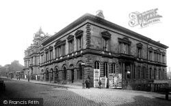
It is still there today as an Arts Centre and the Tourist Information Centre. Burnley Town Hall peeps out from behind the Institute.
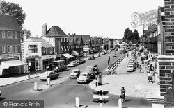
emerges from the shopping parades of the 1930s grouped around the underground station into a series of timber-framed vernacular buildings of the 16th century, that one realises that the original village centre
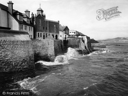
The Buddle estuary was tucked between high walls (left centre), dating from about 1750, below the cupola of the Victorian Guildhall.
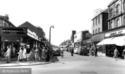
Note that one of the cinemas, the Picture House, has given way to Fine Fare (centre right).
This photograph shows the old village centre of Wallasey.
The three men wearing peaked caps (centre right) could well be airmen from one of several nearby airfields; one of them, Hemswell, is now a very large antiques centre.
Places (57)
Photos (98)
Memories (1253)
Books (2)
Maps (316)


