Places
36 places found.
Did you mean: street or streetly ?
Those places high-lighted have photos. All locations may have maps, books and memories.
- Heathfield, Sussex (near Cade Street)
- Street, Somerset
- Chester-Le-Street, Durham
- Adwick Le Street, Yorkshire
- Scotch Street, County Armagh
- Friday Street, Surrey
- Potter Street, Essex
- Boughton Street, Kent
- Newgate Street, Hertfordshire
- Streetly, West Midlands
- Shalmsford Street, Kent
- Green Street Green, Greater London
- Boreham Street, Sussex
- Park Street, Hertfordshire
- Cade Street, Sussex
- Appleton-le-Street, Yorkshire
- Hare Street, Hertfordshire (near Buntingford)
- Romney Street, Kent
- Trimley Lower Street, Suffolk
- Streetly End, Cambridgeshire
- Hare Street, Hertfordshire (near Stevenage)
- Brandish Street, Somerset
- Colney Street, Hertfordshire
- Langley Street, Norfolk
- Silver Street, Somerset (near Street)
- Street, Yorkshire (near Glaisdale)
- Street, Lancashire
- Street, Devon
- Street, Cumbria (near Orton)
- Street, Somerset (near Chard)
- Bird Street, Suffolk
- Black Street, Suffolk
- Ash Street, Suffolk
- Broad Street, Wiltshire
- Brome Street, Suffolk
- Penn Street, Buckinghamshire
Photos
21,808 photos found. Showing results 3,901 to 3,920.
Maps
1,622 maps found.
Books
1 books found. Showing results 4,681 to 1.
Memories
6,666 memories found. Showing results 1,951 to 1,960.
Sisleys Sweet Shop
My Mum, sister and I used to go to the Savoy at least once a week, and used to walk from the Sample Shoe shop down the High Street to the Savoy, passing on the way Croydon General Hospital. Along the left hand side of this High ...Read more
A memory of Croydon by
New Century St
I lived the street below here, New Century St, there was a newsagent next to the garage, and a set of steps down to New Century St. Before the flats were built, in the early 60's we used to have the bonfire on the waste ground. There ...Read more
A memory of Trealaw in 1958 by
Public Disaster!!!!
This photograph is taken from the Lichfield Road. Veering off to the right in the distance is Greengate Street, and to the left, round the far corner of the library, the Newport Road. I used the library often. It had an annexe a ...Read more
A memory of Stafford in 1966 by
Cinema On A Saturday As A Boy
I grew up in Driglington late 50s/ 60s and remember going to watch Roy Rogers and Hopalong Cassidy, now that was another lifetime ago. As I got a bit older lots of us drig lads used to visit a coffee shop in the main ...Read more
A memory of Birstall by
Incorrect Label
I believe that this photograph is of corner cottages high street flimwell wadhurst also known as Corner Cottages London Road Flimwell Wadhurst TN5 7PG. The road that crosses the picture is the A21 and this is known as the Flimwell Crossroads and is an accident blackspot. Michael Flegg
A memory of Wadhurst by
Just A Kibbuth Lad
For those who have never been to our village called Kibworth, it is worth noting locals call it "Kibbuth". You live in either "Top Kibbuth"- Kibworth Harcourt or "Bottom Kibbuth"- Kibworth Beauchamp. I myself personally, ...Read more
A memory of Kibworth Harcourt in 1973 by
Old Oxted
I was born in Springfield Road, Old Oxted in 1951. I attended Beadles Lane School and Oxted County Secondary School. I recall Old Oxted High Street when it was the main A25, before the by-pass, when the village shops consisted of Deans the ...Read more
A memory of Oxted by
Lemnos
I was born in Bovey Tracey in 1952, on a Wednesday afternoon, the eleventh of June. I arrived in the middle of a garden party being held at 'Grey Gables' a house owned by a Mrs Pedrick (I do not remember her husband, but we children called ...Read more
A memory of Bovey Tracey in 1952 by
Staty Fair.
The Staty Fair is really called 'The Statute Fair' as it is held one night only but the high street is actually blocked off for 48 hours. My family have lived in Kimbolton for over 500 years, my grandad had the butchers shop in the high ...Read more
A memory of Kimbolton in 1960 by
An American Boy In Stockton Heath England
I was a 13 year old boy from Wilmington, North Carolina, USA. My father was a Sergeant in the US Air Force, assigned to Burtonwood RAF Station. We rented a flat at 35 London Rd, Stockton Heath. It was ...Read more
A memory of Stockton Heath in 1956 by
Captions
5,381 captions found. Showing results 4,681 to 4,704.
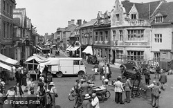
Here we look from a bustling market place with the stalls spreading into North Street; the three gables of The Angel Hotel are on the left.
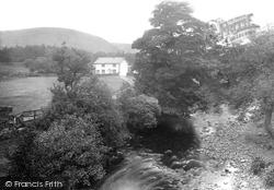
The old lock has long been derelict, and pleasure craft now moor by the riverside, which is separated from the cottages and village street by meadows.
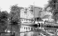
The steep roofs and gables in the Dutch style overlook a hive of activity in this street scene.
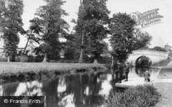
This view looks along the towpath towards Park Street bridge. The Nestle's factory is just out of sight on the right. The boys are fishing from a miniature wharf which still survives.
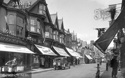
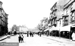
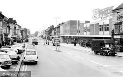
This view shows one of the principal shopping streets for this town of around 13,000 people.
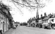
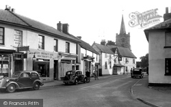
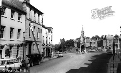
Presiding over the town's broad High Street is the 120 feet high, pinnacle-topped tower of St James', which dates from the 15th century.
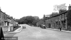
Two motor cars are visible, but few street markings and signs, apart from the one on the right by the bow-windowed shop in the stone-built terrace.
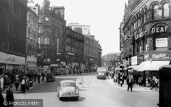
On the left in the distance are the offices of the Provincial Insurance Company and closing the end of the street is the Majestic, where the people of Leeds could enjoy dancing.
This view looks along the High Street from the Vicarage Road junction, now a mini-roundabout.
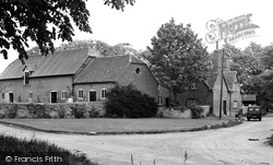
A little north of the High Street Junction, off Abingdon Road, is Gravel Lane, which has a number of farm buildings on each side at its west end.
Just on the left along Bridge Street was a borehole testing for the coal seam, and it is not surprising that when the lift shaft was being dug for the Argos store on the higher corner that coal should
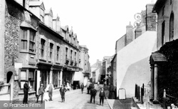
Swain Street runs south from the harbour; it is narrow and mixed architecturally, as can be seen in this Edwardian view.
This proved inadequate and in 1869 G E Street buttressed and raised the tower, added a spire and rebuilt the rest of the church we see now.
The main road which neatly divides the two Kibworths was not put in until 1810, having previously followed the rather tortuous line of the main village street.
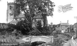
The flower beds are a riot of colour in high summer; they lie alongside the stream that runs through the main street. Trees and St Helen's church make a splendid backdrop.
This is the follow-on view from photograph D69002, looking north along the A5 - the Watling Street.
This wide, curving street set on a sandy ridge runs downhill to the 16th-century White Hart Inn.
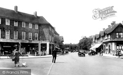
A lone policeman in his high-buttoned tunic directs traffic emerging from the Ewell Road to cross the junction with Station Way, The Broadway and the High Street.
In Slaidburn's Church Street there is a plaque stating that the school there was endowed and erected by John Brennand, a much-respected benefactor, who died in 1717.
The Working Men's Club is now at The Lodge, Welton Road, just out of sight to the left down Abbey Street.
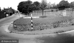
This traffic island at the south end of the High Street, with its random stone walling, double yellow lines, and Festival of Britain-style sign, somehow epitomises a rather unlovely village.
Parking problems did not exist here in these days in the High Street.
Redevelopment in the 1970s has swept away many of the buildings on the west side of Crib Street.
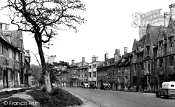
The lines of parked vehicles on both sides of the road tend to detract from the architectural riches of the fine Tudor, Georgian and Victorian buildings that adorn this spacious street; they are evidence
Places (385)
Photos (21808)
Memories (6666)
Books (1)
Maps (1622)


