Places
7 places found.
Those places high-lighted have photos. All locations may have maps, books and memories.
Photos
297 photos found. Showing results 241 to 260.
Maps
28 maps found.
Books
Sorry, no books were found that related to your search.
Memories
357 memories found. Showing results 121 to 130.
Growing Up
I was born on the 24th of July 1929 above a shop next to a pub called the Rose of Denmark, in Hotwells, Bristol, very convenient for Father to wet his whistle and my head at the same time. Father was born in 1893, Mother in 1895. They ...Read more
A memory of Bristol in 1930 by
Holy Cross
I was the born at the Green in Wallsend. I used to live in Holy Cross and I remember the burn, the old cemetery at the top of our road and shopping on Wallsend High Street. My dad was a supervisor at the Rising Sun Pit. We also lived ...Read more
A memory of Wallsend by
Fulham Girl
I lived in Burlington Road, at No.1 - it was called Jubilee Terrace, and was built to commemorate one of Queen Victoria's Jubilees. There was a pottery at the New Kings Rd end of Burlington Road which was built way back in the reign of ...Read more
A memory of Fulham in 1955 by
T A Centre Vicarage Lane
My dad was in the army and we left Nairobi in Kenya and went to live at the TA Centre on Vicarage Lane in East Ham. I went to Burges Manor School for girls and next door was Thomas Lethaby the School for boys. One of my ...Read more
A memory of East Ham in 1965 by
Part 13
He then ran a wet fish trade from a horse and cart, but also ran a fish and chip shop. Last time I was in Houghton the fish shop was still there. In Newbottle Street, just up from the school and on the same side. Gran was very proud ...Read more
A memory of Middle Rainton in 1945 by
Part 11
And had an inter-house sports day annually that was highly contested. The school was divided into four houses, St Columbus, St Aiden, and St Patrick and St Cuthbert’s. Church attendances were very high, poor Fr. Tuohey had to give ...Read more
A memory of Middle Rainton in 1945 by
Pilgrims Hatch/Childhood.
I was born in London in 1937 and moved to Days Lane, Pilgrims Hatch in that year,so all my childhood years were spent around the Pilgrims Hatch area. Dad was always sharp of the mark and a couple of steps ahead so foresaw ...Read more
A memory of Brentwood in 1940 by
East Wickham And Welling A Magical Time A Magical Life
My family moved into Darenth Road in 1960 - we were the first in our street and watched the rest of the houses being built around us. There was nothing but mud, wheelbarrows and workmen. My dad's ...Read more
A memory of Welling by
Beverley Gardens, Western Avenue.
I was born in a masonette in Beverley Gardens, Western Avenue, in the middle of an air raid in 1943. Yes, I do rememebr buying an ice cream from Creamery Fare in Greenford. My local shops were across the road in ...Read more
A memory of Perivale in 1940
At My Nannies Near The Allotments
My nannie lived on East Street, which had a break in the street to go through the allottments. My nannie was called Hilda Lee, nee Marsh. I have fond memories too of Grandad Lee who passed away when I was around 6 ...Read more
A memory of Darfield by
Captions
445 captions found. Showing results 289 to 312.
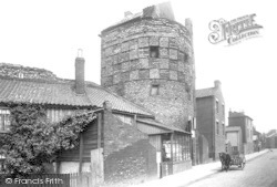
The Blackfriars, otherwise known as the South-East Tower, was used in the 19th century as a shop at street level with accommodation above—there was even a small cottage built on top.
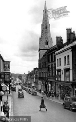
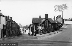
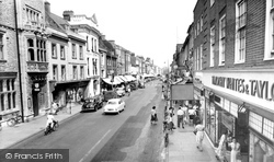
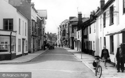
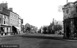
This view looks east from Bridge Street, past the Market House and along into Bell Hill.
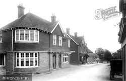
A lone carriage is parked on the other side of the street from the newly-built Red Lion Inn. Just beyond, down the road, is J J Bacon's Stores.
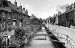
This view looks east along West Banks, with its numerous small bridges, to the mainly late Victorian artisan cottages (some are dated 1901).
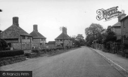
Wadhurst, a village about six miles south-east of Tunbridge Wells, was a centre of the iron industry during the 16th and 17th centuries.
We have moved further west to the junction with St Ives Road, looking east. The Bear Hotel on the left has an early 19th-century stucco front; further on are the Chapel Arches.
In this photograph we head north-east out of Market Square along Cambridge Street, once known as Bakers Lane, a road that haas seen much change since the 1950s.
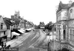
Frith's photographer was looking east, past the Town Hall on the right, towards St Nicholas's Church and the abbey gateway.
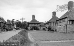
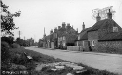
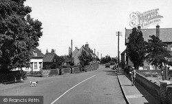
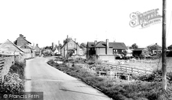
This view looks east along Main Street from beside Leyland Farm.
Another of the town's important roads, Crow Lane East was extended in the 1960s with the addition of a library, the original Technical School and a large estate of social housing.
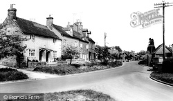
Ludford is a now a single-street village on the Louth to Gainsborough road at the head of the River Bain, which flows south through the Wolds to join the River Witham.
Ludford is a now a single-street village on the Louth to Gainsborough road at the head of the River Bain, which flows south through the Wolds to join the River Witham.
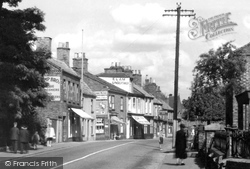
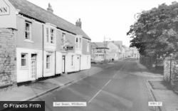
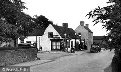
Moving further east along Main Street, we reach the junction with New Inn Lane on the right.
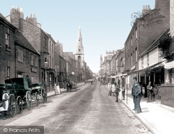
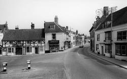
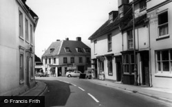
Here the photographer looks east along High Street, a wide market place with typical market encroachment blocking the view at the end; the building with the gable is a rebuild in 1877 of a 17th-century
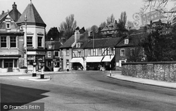
Rottingdean, the valley of Rota's people, is cut off from its vast neighbour, Brighton, by steep chalk downs and sea cliffs.
Street Scene c1955 Queen Victoria first stayed on the Isle of Wight at Norris Castle, during the reign of her uncle William IV.
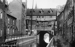
Here we look east along the River Witham, flowing out of Brayford Pool, with the High Street reached by steps from each bank.
Each week, on market day, colourful stalls line the pavements of the High Street, and shoppers come from all over East Devon as they have for centuries.
East and south of the church, the High Street has a number of good houses, including the 18th-century Elm Farmhouse in the distance.
Here we look east along the River Witham, flowing out of Brayford Pool, with the High Street reached by steps from each bank.
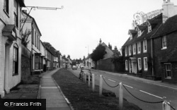
Visitors to the tourist attraction of Stockbridge enter downhill at either end of the High Street. Almost a mile long, it runs east-west, with narrow ribbons of houses on either side.
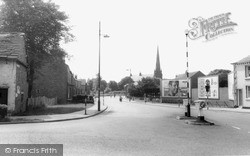
Going east from Market Place along Church Street, we reach the small square with the brown stone church on its north side, a curiously villagey one for a town.
West of Long Sutton and east of Spalding, Holbeach is another of Lincolnshire's numerous small market towns. It received its first market charter in 1252.
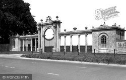
South-east of the town on Watling Street, the entrance to Towcester Race Course and Conference Centre is through this fine gate screen linking two lodges.
Places (7)
Photos (297)
Memories (357)
Books (0)
Maps (28)


