Places
26 places found.
Those places high-lighted have photos. All locations may have maps, books and memories.
- Cemmaes Road, Powys
- Six Road Ends, County Down
- Road Weedon, Northamptonshire
- Severn Road Bridge, Gloucestershire
- Roade, Northamptonshire
- Berkeley Road, Gloucestershire
- Harling Road, Norfolk
- Road Green, Devon
- Builth Road, Powys
- Cross Roads, Yorkshire
- Steele Road, Borders
- Cross Roads, Devon
- Four Roads, Dyfed
- Road Green, Norfolk
- Biggar Road, Strathclyde
- Clarbeston Road, Dyfed
- Five Roads, Dyfed
- Eccles Road, Norfolk
- Grampound Road, Cornwall
- Morchard Road, Devon
- Wood Road, Greater Manchester
- Four Roads, Isle of Man
- St Columb Road, Cornwall
- Clipiau, Gwynedd (near Cemmaes Road)
- New Road Side, Yorkshire (near Silsden)
- New Road Side, Yorkshire (near Cleckheaton)
Photos
14,329 photos found. Showing results 3,721 to 3,740.
Maps
476 maps found.
Books
5 books found. Showing results 4,465 to 5.
Memories
11,058 memories found. Showing results 1,861 to 1,870.
Factory Road
I was born in Factory Road in 1947. I lived there with my mum, dad, brother and 2 sisters until I was 16 and moved away because of the redevelopement. We lived at number 33, my nan lived at number 26 and my aunt and 2 cousins lived ...Read more
A memory of Gidea Park in 1952 by
Photos Of The House I Grew Up In On Crown Road
My brother Don Quarterman sent me to this web site. What an amazing collection of photographs! So I have to talk about two that show the house we grew up in, Mulberry Cottage. The earlier one shows ...Read more
A memory of Wheatley in 1953 by
Bradley, Bilston And Stowlawn
I managed to enter the world in Lord Street, West Bradley, 1944. I attended St Martins and earliest I can remember lived in a prefab in Moxley (Castleview Road). After St Martins I attended Stonefield school. Moved to ...Read more
A memory of Tipton by
Surbiton Road Photo
My parents owned the Tip Top Cafe which was on the right of the picture where you can just see a parade of shops with flats above, which is where I was born. The bus stop in the forefront is where I used to catch ...Read more
A memory of Hook in 1961
My Birth Home
I was born in a big house in Ellis Road. It was a warm and cosy home. I remember waking on a cold winters day and the ice would be on the inside of the windows. I would go downstairs and my grandad would have a roaring fire going ...Read more
A memory of Crowthorne in 1957 by
Western Road
My Grandfather, William Rondeau (Old Bill), owned a second-hand shop on Western Road, opposite Love Lane. Next door was Reggie Wiisbey's, the green-grocers, then came 2 little cottages and Maidments the corner shop. They had 2 sons, ...Read more
A memory of Mitcham in 1950 by
Living In Melrose Ave, Willesden Green In 1950s
Hi, my name is Liz Ely (maiden name O'Connell) and I was born in Melrose Ave, Willesden Green in 1953 and I still live in the same house. I remember doing my mother's shopping in Sainsburys in ...Read more
A memory of Willesden in 1953 by
Childhood Memories Buckland Wharf
My Aunt Maud and her husband Alf lived in the last council house on the road to Buckland Village. Their son, Gordon Worrell, lived with his wife Winnie in the little row of cottages facing out on to ...Read more
A memory of Buckland by
When I Was Young
I used to live in Bulford when I was just a pup, I had many happy memories there and some very sad ones too. I can remember a girl who used to be in our gang was taken to a corn field and killed by somebody. I was too young but can ...Read more
A memory of Bulford in 1953 by
Growing Up With The Dinosaurs.
I lived in Thicket Grove which had the Thicket public house at the top. Crystal Palace Park was a very short walk away. During the school holidays we would spend our days in the park. Mum would pack us a picnic of ...Read more
A memory of Crystal Palace in 1953 by
Your search returned a large number of results. Please try to refine your search further.
Captions
5,036 captions found. Showing results 4,465 to 4,488.
On the other side of the road is a men's clothing store, Baker's, and the Eagle Building accommodating Woolworths.
Bourne, at the junction where two Roman roads met, had a Roman station to guard the Car Dyke, the great Roman dyke 56 miles long and still surviving for long stretches.
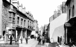
Note also the rough pavement setts and the juddering cobbled road. On the left is a boy selling milk from the churn.
On the opposite side of the road, Smugglers has signs offering teas and homemade cakes - no fast food yet.
Moving south we cross the River Ivel by the Girtford Bridge to reach the town of Sandy on the Great North Road, the A1.
The Village, Upton is this quaintly-named road. It leads up to St Mary's, a 19th-century church with its handsome pulpit and a thousand-year-old runic Viking stone in a small showcase.
These were the last buildings on the western edge of the town, on the Exeter road, where Foundry House is now flats and the metal-working premises of J I Blackburn Limited and an entire new housing
Opposite, on the corner with North Allington, the principle towns on the cast-iron road sign are Exeter (straight ahead) and Chard (right). West Court is behind the trees.
Across the Colne the main road to Pinner reaches Batchworth Heath, just before the old Middlesex county boundary.
Ellington lies on the present A14 road to the west of Huntingdon. At Domesday, the manor was held by the Abbot of St Benedict`s, Ramsey, and the parish had a population of about 150.
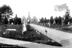
The Sudbury and Ballingdon Cemetery was opened in 1859 in Newton Road. The two chapels, Anglican and Nonconformist, are linked by an archway, and stand in the centre of the cemetery.
The street follows the course of the Roman road Ermine Street, and is typically without any sign of a bend.
To the west of Thoresby, on the Ollerton to Worksop road, the first Earl Manvers of Thoresby built a small estate village around 1810.
Note also the rough pavement setts and the juddering cobbled road. On the left is a boy selling milk from the churn.
Continuing along the road containing the spa building, this parade of shops is to be found on the right-hand side.
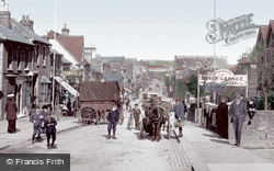
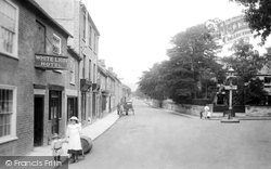
The prominent white-peaked emblem on the right hand side of the road indicates the location of one of the town's remaining coaching inns, the Sugar Loaf Hotel.
These two photographs, taken in Village Road, depict the old village centre. The scene has changed remarkably little over the years, apart from what is sold in the shops.
The two workmen at the end of the road might also like to pass the time of day with a friendly chat.
This 1930s mock-Tudor shopping parade still stands on Rectory Lane as it winds its way south to the junction with the Chipstead Valley Road, where the buildings of the Woodmansterne Treatment Works, belonging
The road leads to the bridge over the River Wenning, which flooded two years ago.
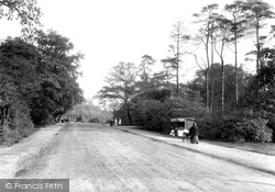
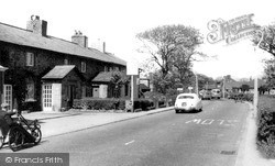
Road-side lamps have also changed in style, and traffic includes a heavy motor lorry (just visible in the distance) and a vintage invalid carriage (left).
The best house is on the right, slightly set back from the road and with a central niche containing an urn. Built about 1835, it became a bank, hence its current name 'The Old Bank House'.
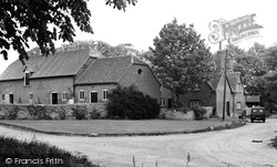
A little north of the High Street Junction, off Abingdon Road, is Gravel Lane, which has a number of farm buildings on each side at its west end.
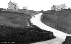
shout too loud about it, though, as there are many locals who would rather it were back across the border.Tubber Hill is on the outskirts of Barnoldswick; running alongside it is part of the Roman road
Places (26)
Photos (14329)
Memories (11058)
Books (5)
Maps (476)


