Places
3 places found.
Those places high-lighted have photos. All locations may have maps, books and memories.
Photos
68 photos found. Showing results 861 to 68.
Maps
12 maps found.
Books
15 books found. Showing results 1,033 to 15.
Memories
7,562 memories found. Showing results 431 to 440.
Evacuation To Fonab Castle Sept.1939
Evacuation - September 3rd 1939 The government decided that mothers and children should be moved to the countryside away from areas at risk from bombing. On the 3rd, parents and children all gathered at their ...Read more
A memory of Pitlochry in 1930 by
How I Miss The Royal Air Force Humour!
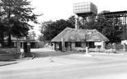
The building you can see behind the tree left of photo was the main guardroom. At the back was the offices of the RAF Police and the RAF Regt. Opposite their office entrance was a grassed area where we had a ...Read more
A memory of Brampton in 1979 by
Woodhorn Village
I lived in one of the cottages at Woodhorn, my dad worked on the farm. I remember a big windmill behind the houses. We had no indoor toilet, had to go cross the back lane, and no bathroom, had a tin tub, we had hot water from the ...Read more
A memory of Woodhorn in 1954 by
St. Catherines Church
I was at Mount Pleasant School as a boarder for 6 years from 1946 to 1952. The school was in Dalmeny Road but apparently was taken down in 1965. I have been trying to find anyone who attended this school. Before going to ...Read more
A memory of Southbourne in 1948 by
Somerton Staithe
This photo stirs memories of West Somerton, my 1940's and 1950's childhood home. We kids trying to fish with bamboo stakes, string and worms, sitting beside serious fishermen on these banks. Then there was the time the river ...Read more
A memory of Winterton-on-Sea in 1950 by
Childhood Memories We Never Forget
To anyone reading this; I was born Valerie Harding and lived in Wedges Mills and I remember so many things about my childhood in Cannock. The Maypole dancing at John Woods school, attending Church each Thursday ...Read more
A memory of Cannock in 1953 by
Lots Of Coal Dust
Born in 1942, my earliest memories of Thurnscoe was living at 25 Taylor street. When I was four we moved to 137 Thornley Crescent. I attended both Houghton Road Infants and Junior schools. One name sticks in my memory; Mrs Cook - ...Read more
A memory of Thurnscoe in 1942 by
Good Memories
I spent a few days in London for the Queens Diamond Jubilee last year. I decided to pay a visit to where I use to live in Welling. After reading some of the stories it certainly brought back memories. Like going to the Embassy on ...Read more
A memory of Welling in 1950 by
Living In Harold Hill
I lived in 71 Hailsham Road off of Straight Road till we sadly moved in the April of 1971. I always remember; the Grammar School, at the back of Appleby Drive we used to have Saturday fetes with the small steam train ride, ...Read more
A memory of Harold Hill in 1967 by
Eastern Electricity Board Apprentice Training School
I attended the 'boards' training school based at Harold Hill, along with 79 other apprentices during 1960/61... I shared lodgings at Collier Row for the first year of the apprentice training ...Read more
A memory of Harold Hill in 1960 by
Captions
2,501 captions found. Showing results 1,033 to 1,056.
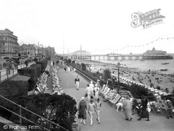
With fewer people about on a less sunny day, the three tiers of the sea front are clearer to see, with the road and pavement to the left separated from the wide Promenade below by trim hedges.
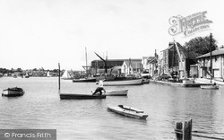
In the middle-distance are Wivenhoe's oyster- sheds: they were built on stilts so that the tide could feed the oysters in their beds underneath.
MOAT BANK c1960. Longdon's church, seen here behind the trees, has a tower and spire dating from the 14th century.
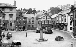
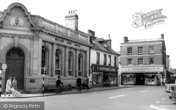
On the left is the District Bank. Next door is Hodgson, fruiterer and florist. By the Farmers Arms is G H Mackereth, seedsmen, also selling manure.
Warston Pictures proudly presents 'My Six Convicts' at its Cameo Cinema on the corner of Springfield Street, opposite Bank House (right.)
Hilton's shop is still a boot and shoe shop, but Mr O'Connor is the owner.
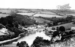
Newton Ferrers and Noss Mayo, 'Newton and Noss' to all locals, line the opposite banks of the Yealm estuary.
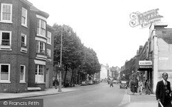
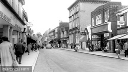
The first shop on the right is Boots at No 10. Next door is Woolworths, and next but one is Westminster Bank at No 4. These three businesses are still in Petersfield at the same addresses.
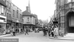
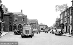
The entrance to Barclays Bank is seen to the right of the picture. The High Street leads to the North Gate of the cathedral.
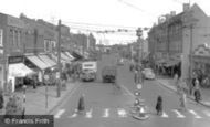
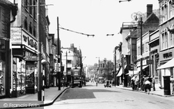
This photograph shows the centre of the busy High Street, with the road to Bexley and London ahead and the turning to Crayford visible on the right.
As a result of the expansion of the town since 1959 due to London overspill, much of the center was redeveloped.
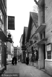
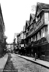
The Shambles connects Market Street with Silver Street. It was the site of the medieval market, and 'shambles' was the common name associated with meat trading.
The entrance to Barclays Bank is seen to the right of the picture.The High Street leads to the North Gate of the cathedral.
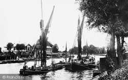
The heavily- laden 'Glasgow' (the barge on the left) has to wait, while the ship alongside the landing place is unloaded via a horse and cart driven into the water.
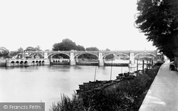
Downstream from the town, the photographer looks back to the Richmond Half-Tide Weir and Footbridge. There are boat rollers by the Isleworth bank on the right, and Richmond Lock is on the left.
On the west bank of the Taw, this view shows the old road (left), and new one (right). The houses to the right are Ladysmith Villas, named after the second Boer War siege (1900). They still stand.
In the 1920s, the owner of a chain of grocery stores had two carved cats placed on the upper front of his shop - they were supposed to frighten the rats away from the river bank.
The Thames, or Isis, plays an important role in Oxford university life.
The house has now gone, and the bridge has been replaced by another. This photograph was taken in Lower Monk Street near the weir in Swan Meadows.
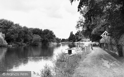
Our last view shows Dorney Reach with the Berkshire bank on the left.
The house has now gone, and the bridge has been replaced by another. This photograph was taken in Lower Monk Street near the weir in Swan Meadows.
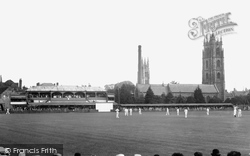
The headquarters of Somerset County Cricket Club, founded in 1875, lie on the south bank of the River Tone; although the grandstands are much changed, the arched one still in essence survives.
Bridge End is on the south bank of the Avon, where all the roads from the south previously met to cross into Warwick.
Five centuries ago, St Peter's Church and elm trees occupied what is now The Square.
Places (3)
Photos (68)
Memories (7562)
Books (15)
Maps (12)


