Merry Christmas & Happy New Year!
Christmas Deliveries: If you placed an order on or before midday on Friday 19th December for Christmas delivery it was despatched before the Royal Mail or Parcel Force deadline and therefore should be received in time for Christmas. Orders placed after midday on Friday 19th December will be delivered in the New Year.
Please Note: Our offices and factory are now closed until Monday 5th January when we will be pleased to deal with any queries that have arisen during the holiday period.
During the holiday our Gift Cards may still be ordered for any last minute orders and will be sent automatically by email direct to your recipient - see here: Gift Cards
Places
36 places found.
Those places high-lighted have photos. All locations may have maps, books and memories.
- Cardiff, South Glamorgan
- Barry, South Glamorgan
- Penarth, South Glamorgan
- Rhoose, South Glamorgan
- St Athan, South Glamorgan
- Cowbridge, South Glamorgan
- South Molton, Devon
- Llantwit Major, South Glamorgan
- Chipping Sodbury, Avon
- South Chingford, Greater London
- South Shields, Tyne and Wear
- Ayr, Strathclyde
- St Donat's, South Glamorgan
- Llanblethian, South Glamorgan
- Thornbury, Avon
- Llandough, South Glamorgan
- Fonmon, South Glamorgan
- St Nicholas, South Glamorgan
- Jarrow, Tyne and Wear
- Penmark, South Glamorgan
- Font-y-gary, South Glamorgan
- Maybole, Strathclyde
- Yate, Avon
- Oxford, Oxfordshire
- Torquay, Devon
- Newquay, Cornwall
- Salisbury, Wiltshire
- Bournemouth, Dorset
- St Ives, Cornwall
- Falmouth, Cornwall
- Guildford, Surrey
- Bath, Avon
- Looe, Cornwall
- Reigate, Surrey
- Minehead, Somerset
- Bude, Cornwall
Photos
5,607 photos found. Showing results 1,661 to 1,680.
Maps
2,499 maps found.
Books
23 books found. Showing results 1,993 to 23.
Memories
1,580 memories found. Showing results 831 to 840.
Chip Shop
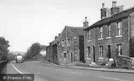
The building to the right of centre of this photo was Dyson's Fish & Chip Shop in the 1960s and 1970s. The caption says Main Road, but this road the A629 had several names. one was Penistone Road, but at this point it was known as Abbey Road South, before becoming Lane Head Road.
A memory of Shepley in 1963 by
Summer Of 64
In June 1964 a group of us Belfast grammar school boys crossed the sea to Liverpool and took the long coach journey south to spend the school summer vacation working in the Bournemouth beach cafes. Three of us shared a bedroom at ...Read more
A memory of Bournemouth in 1964 by
My School Years
I started at Eighton Banks Primary School in 1952 aged five, having been moved from the slum clearance of the Teams, Ghd. To be in open countryside after the lung-choking life of the industrial Teams was absolute heaven. The ...Read more
A memory of Eighton Banks in 1952 by
Tracing Family History Little Sutton
Hope someone out there can help. My Great Grandparents were called Elizabeth and Thomas Jackson. They are buried in St. Pauls, Hooton. They had 4 children, Thomas (my grandfather) John William Jackson ...Read more
A memory of Little Sutton by
South Wigston, Gloucester Crescent
I moved to South Wigston in 1978 as a newly wed, I lived on Marstown Avenue which then was a two way road, and very busy, and I remember using these shops all the time. I used to do my shopping in what is now ...Read more
A memory of South Wigston in 1978 by
Earl Of Strafford Opens 1984
It's nearly 25 years since the Earl of Strafford hotel opened in Hooton Roberts. I wrote an M.A. dissertation on Thomas Wentworth, the First Earl of Strafford after whom the pub is named, so I was naturally very ...Read more
A memory of Hooton Roberts in 1984 by
When The Reverend Nichols Was The Rector
Sadly, I believe St Michael's Church is little more now than a ruin of it's former self, nothing like it was in the 1940's when it seemed to stand proudly on the hill watching over and protecting the small ...Read more
A memory of Pitsea in 1940 by
Those Were The Days!
We lived above a shop in Northolt Road, South Harrow close to the station for two years. We had no hot water, no bathroom, and very limited space. It was our first married home. Traffic outside was constant. Despite all this it ...Read more
A memory of South Harrow in 1963 by
Bagpuss
A section of this photograph was used by Peter Firmin and Oliver Postgate for one of the opening sequences in the programme Bagpuss. This was confirmed in 1978 when a Horrabridge resident wrote to the Bagpuss programme and received a reply ...Read more
A memory of Horrabridge by
Memories Of Holkham And The Victoria Hotel
Whilst I lived at Mattishall near Dereham in the early 1960's I became a regular visitor to the area in Summer and Winter, having use of a small boat at Burnham Overy Staithe. Fishing and full days out at ...Read more
A memory of Holkham in 1960 by
Captions
2,476 captions found. Showing results 1,993 to 2,016.
From North Curry, we skirt the south edge of West Sedge Moor to the town of Langport on the east bank of the River Parrett.
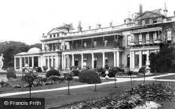
This is the south façade.
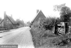
This view, looking south along High Street, has greatly changed: the thatched cottages have been demolished, and modern housing has been built on the right.
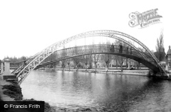
Crucial to Hawkins's plans was the linking of the south and north banks: this graceful suspension bridge, designed by John Webster and built in 1888, achieved this.
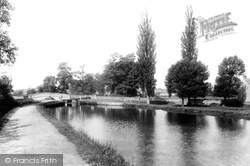
This view looks south-west along the canal past the last lock, No 16, Hills and Partridges Lock, to Park Street Bridge. (Hills and Partridges works have now long gone.)
Prickend marks the end of one expanse of land that stretches from Petts Wood in the south and to Summer Hill in the west.
Just south of Middlesmoor is Lofthouse, the northernmost point of the old Nidd Valley municipal railway.
This hamlet is to the south of Boxford and separated from it since 1975 by the bypass.
The complex of rivers and canals at Stanstead St Margarets and Stanstead Abbots bring together the Lea, the New River, Stanstead Mill Stream and, slightly further to the south, the River Stort.
Heading south towards Bourne, the route diverts north-east of the town to Edenham, a delightful village on the east bank of the winding East Glen River, whose church has many remarkable monuments to the
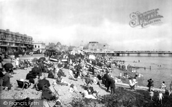
The first 1862 pier had been rebuilt in 1889, and again in 1914 when disastrous storms turned the South Pavilion into an island.
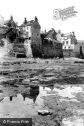
The fishing village of Robin Hood's Bay lies just a few miles to the south of Whitby. Also known as Bay Town, the village became a favourite haunt for artists and holidaymakers alike.
On the south side are the handsome stone piers, and a deep harbour cutting off most of the town from the cliffs of Douglas Head.
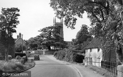
These cottages, south of the junction with Hurst Road and built as a 15th-century hall and cross wing house by a prosperous farmer, had by 1907 been divided into four small cottages and given Victorian
Since renamed St Andrew's Road, here we are looking south-westwards towards Bridport. The nationally-known 20th-century author and playwright Thomas Ridley Sharpe moved here from Cambridge in 1978.
Going north to the Godstone to Reigate road, that part of the A25 that runs along the greensand ridge south of the North Downs, we reach the village of Bletchingley.
Heading south towards Bourne, the route diverts north-east of the town to Edenham, a delightful village on the east bank of the winding East Glen River, whose church has many remarkable monuments to the
Basildon's first new factory, South East Essex Wholesale Dairies, opened in 1951. Over the next two years, the No 1 Industrial Estate sprang up around it.
The interior is of some interest; the Ravenscroft Chapel in the south aisle houses a fine alabaster figure of Thomas Ravenscroft, a local benefactor, dated 1630.
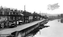
At intervals on Severn Side, both north and south, steps leading from the sandstone quays were constructed.
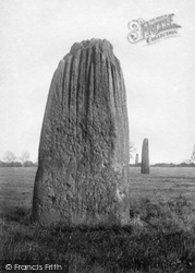
They lie in a north-south axis on the western edge of the town; they measure as high as 22ft 6in, and are as big as the stones at Stonehenge.
We look eastwards down Church Street from the Main Road on the south side of the Talbot Arms and Doon Beg (far left).
This delightful village, 2 miles south of Bedale, was once the support for the castle.
The houses on the right, including The Little House facing the camera (and now painted a bright pink), have the River Thames as their south boundary.
Places (15471)
Photos (5607)
Memories (1580)
Books (23)
Maps (2499)


