Places
36 places found.
Did you mean: street or streetly ?
Those places high-lighted have photos. All locations may have maps, books and memories.
- Heathfield, Sussex (near Cade Street)
- Street, Somerset
- Chester-Le-Street, Durham
- Adwick Le Street, Yorkshire
- Scotch Street, County Armagh
- Friday Street, Surrey
- Potter Street, Essex
- Boughton Street, Kent
- Newgate Street, Hertfordshire
- Streetly, West Midlands
- Shalmsford Street, Kent
- Green Street Green, Greater London
- Boreham Street, Sussex
- Park Street, Hertfordshire
- Cade Street, Sussex
- Appleton-le-Street, Yorkshire
- Hare Street, Hertfordshire (near Buntingford)
- Romney Street, Kent
- Trimley Lower Street, Suffolk
- Streetly End, Cambridgeshire
- Hare Street, Hertfordshire (near Stevenage)
- Brandish Street, Somerset
- Colney Street, Hertfordshire
- Langley Street, Norfolk
- Silver Street, Somerset (near Street)
- Street, Yorkshire (near Glaisdale)
- Street, Lancashire
- Street, Devon
- Street, Cumbria (near Orton)
- Street, Somerset (near Chard)
- Bird Street, Suffolk
- Black Street, Suffolk
- Ash Street, Suffolk
- Broad Street, Wiltshire
- Brome Street, Suffolk
- Penn Street, Buckinghamshire
Photos
21,808 photos found. Showing results 3,961 to 3,980.
Maps
1,622 maps found.
Books
1 books found. Showing results 4,753 to 1.
Memories
6,666 memories found. Showing results 1,981 to 1,990.
The Polehampton Schools
I think this picture could show Mr Farthing who was a teacher at the Boys School, near the railway bridge. When I was walking to and from the girls' school at the other end of the village I often used to meet him rolling along, ...Read more
A memory of Twyford in 1953 by
Frondeg Talybont
my grandparents Rosina & Rev'd John Williams moved to Frondeg on the Aberystwyth side of Talybont in the 1920's when John's health meant he could no longer preach. He died in 1925 Rosina died in the 1950's I don't really remember ...Read more
A memory of Talybont by
Graham & Fishers
The building nearest the camera on the right is (was) Graham and Fishers - founded by my great-grandfather Tom. His sons Alg (my grandfather) and Spencer worked in the business all their lives, and my father Douglas worked there until ...Read more
A memory of Chatteris in 1954 by
Foggy Beacon Park
When I was 5 yrs old I can vividly remeber getting lost in Beacon Park in a real pea souper with friends from the farm in the Sandford Street corner of the park and also remember digging old stone jars up from the brook that runs through the park!
A memory of Lichfield in 1956 by
Childhood Memories
As a small child I used to visit my Gran & Grandad in Shirebrook - Annie & Seth Oakton. I'm told they lived in Byron Street and they had a grocery shop which was part of the front room in their house. Grandad also kept ...Read more
A memory of Shirebrook in 1966 by
Holidays
My mother was born in Fleetwood and lived in Pharos Street, just below the lighthouse. I was born in Lancaster but I remember having holidays at Fleetwood when I was a child, just after the end of the war. I particularly remember being ...Read more
A memory of Fleetwood by
Levers The Butchers
My memories of Wilton are very fond and still are as my grandparents owned Levers the Butchers in North Street. Finding this site was a real pleasure as I can remember some of the later photographs from when I was a child. I would ...Read more
A memory of Wilton in 1970 by
The Old Co Op.
I was born in Market Street in 1939. Later, because of the war, my mum left me in Millom for my grandad and grandma Kirby to look after me. Mum went back to be with my dad in heavily bombed Manchester. I spent the war years here and they ...Read more
A memory of Millom in 1940 by
Barpool Road In The 50s
My Mum's family lived on Barpool road (Nan and Gramps still do) and she often tells us how the kids in the street played together with giant skipping ropes made from the washing line that went across the street. Also about the ...Read more
A memory of Nuneaton in 1955 by
Gants Hill Smiths Bus Stop
I used to live in Montreal Road, off Perth Road, and remember the bus-stop outside Smiths stationers. There was also a real butchers, greengrocers, shoe shop, Woolworths, banks, a small dress shop and later a Jewish ...Read more
A memory of Gants Hill in 1961
Captions
5,381 captions found. Showing results 4,753 to 4,776.
Try standing in the middle of the main street nowadays! Here at number 28 we have Joseph Kennerley's drapery and hosiery shop, which also doubled as the post office.
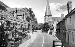
This street was named after the church, which was erected in 1818 on Packhorse field. The church lies behind the trees on the left.
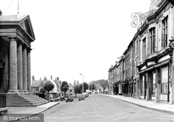
The Town Hall, on the left, dates from 1842; its imposing stone portico faces onto the High Street rather than the Market Square - which, as has become common in the modern age, is being used
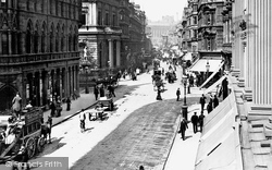
It cost one penny to travel the length of New Street by horse-drawn omnibus, while a Hansom cab cost somewhat more.
This looks Southwards along South Street to St Mary`s parish church (centre).
Local gentry applied for an Act of Parliament to allow them to build a new town and to develop the harbour, and work began in 1807, when the grid of broad, airy streets was laid out.
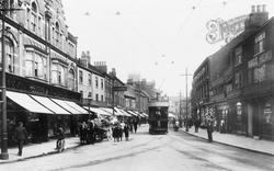
Doncaster's electric street tramway opened on 2 June 1902; it operated fifteen open-top cars, each capable of carrying a total of 56 passengers.
Humphrey's Bakery, High Street, has been dated 1332.
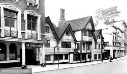
Regardless of the unsympathetic way it clashes with the rest of the street, the bank goes all out to impress. The timber-framed building on the right was built in 1906 as a temperance club.
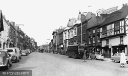
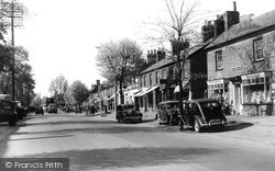
Along with the substantial numbers of parked cars along the verges, a laden lorry and a coach are advancing down the High Street, representative of the immense numbers of similar heavy vehicles which
We now move east to The Poultry, the street along the south side of the Council House.
We are looking south-east along Neston's main shopping street, with the wall of St Mary and St Helen's church on the immediate right.
This photograph looks eastwards towards the mediaeval town centre, but apart from reminding us that shop fascias were once sensitively designed, and that shopping streets were once pedestrian-friendly,
No 18 High Street (left, next to the fishmonger's) was a baker's run by Mr Brinkworth in the 1870s; it was a grocer's in 1890, run by Sarah Smith.
By now Hitchman's the chemists had been swept away: Montague Burton had built an art deco emporium (left) on the corner of Silver Street.
There has been a fair amount of rebuilding since the 1950s, as could be expected in such a busy commercial street, but Philadelphus Jeyes survives.
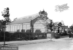
These baths are around the corner from where Throwley Road once turned to the north (it is now Throwley Way and acts as an inner relief road or High Street by-pass).
Frith's photographer looks south down the High Street from the Broadway.
This view looks from Godstone Road to the Plaistow Street-Newchapel Road junction.
The building on the left curving into Bath Street from the Square, with its many gables and ornate shop fronts (now a Chinese restaurant), replaced the Rising Sun Inn, a three-storey timber-framed
This view was taken looking north along Bridge Street towards the Market Place – indeed, in the left centre of the view we can see the cupola and stair tower of the Town Hall.
Still on the green, the camera points south to Steventon Road, the south lane from the High Street, already in 1955 closed to traffic.
When the bus station opened on 20 May 1963, much Castleford history was lost with the demolition of the Queen's Head Hotel and Wainwright Street.
The path emerges in Pound Street.
Places (385)
Photos (21808)
Memories (6666)
Books (1)
Maps (1622)


