Places
36 places found.
Did you mean: street or streetly ?
Those places high-lighted have photos. All locations may have maps, books and memories.
- Heathfield, Sussex (near Cade Street)
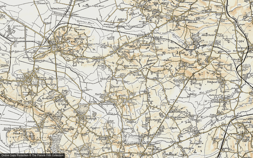
- Street, Somerset
- Chester-Le-Street, Durham
- Adwick Le Street, Yorkshire
- Scotch Street, County Armagh
- Friday Street, Surrey
- Potter Street, Essex
- Boughton Street, Kent
- Newgate Street, Hertfordshire
- Streetly, West Midlands
- Shalmsford Street, Kent
- Green Street Green, Greater London
- Boreham Street, Sussex
- Park Street, Hertfordshire
- Cade Street, Sussex
- Appleton-le-Street, Yorkshire
- Hare Street, Hertfordshire (near Buntingford)
- Romney Street, Kent
- Trimley Lower Street, Suffolk
- Streetly End, Cambridgeshire
- Hare Street, Hertfordshire (near Stevenage)
- Brandish Street, Somerset
- Colney Street, Hertfordshire
- Langley Street, Norfolk
- Silver Street, Somerset (near Street)
- Street, Yorkshire (near Glaisdale)
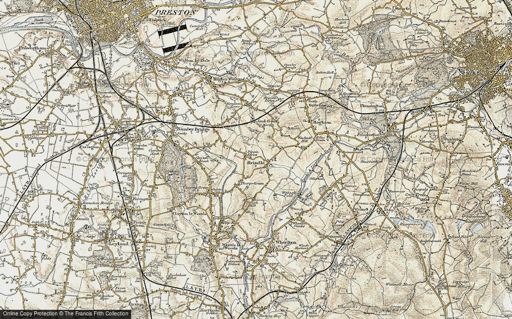
- Street, Lancashire
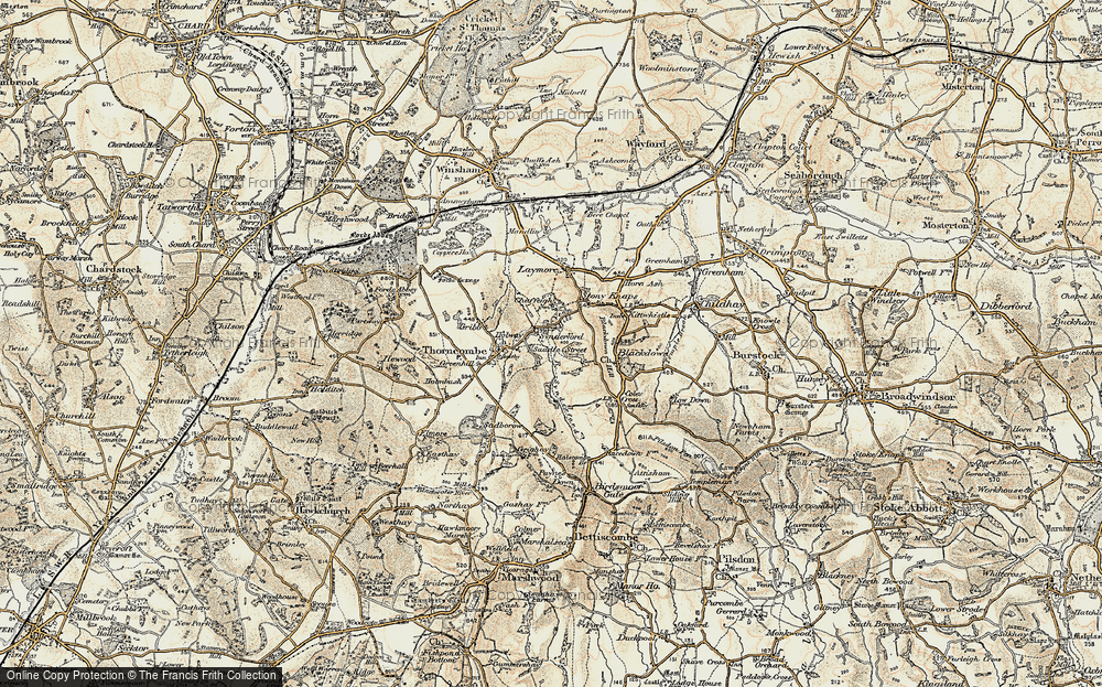
- Street, Devon
- Street, Cumbria (near Orton)
- Street, Somerset (near Chard)
- Bird Street, Suffolk
- Black Street, Suffolk
- Ash Street, Suffolk
- Broad Street, Wiltshire
- Brome Street, Suffolk
- Penn Street, Buckinghamshire
Photos
24,921 photos found. Showing results 841 to 860.
Your search returned a large number of results. Please try to refine your search further.
Maps
1,622 maps found.
Books
3 books found. Showing results 1,009 to 3.
Memories
6,667 memories found. Showing results 421 to 430.
Happy Days
I lived in Cobden Road behind the fire station and went to school first at Mayville Road and my first teacher's name was Mrs Frith? Then I was transfered to Davies Lane because I lived on the wrong side of the high street. Finally ...Read more
A memory of Leytonstone by
Wartime Evacuee 1939 1940
In August 1939 I was evacuated frm Salford to Caton. I had my gas mask, a small parcel of food and a label on my clothing. We arrived at the then beautiful station, adorned with flowers. Then we walked to the Village ...Read more
A memory of Caton in 1930 by
The Blake
The following information relates to the opening of the Blake school in Hednesford. The Blake school was built to replace the Central Secondary school for boys which was in Burns Street Chadsmoor (where Chadsmoor junior school is now ...Read more
A memory of Chadsmoor in 1961 by
Somewhere In Buckland
Round about 1840 my widowed great, great grandmother Hannah, and her son Joseph were brewers in Buckland. But unless any Buckland resident knows of the history of the village I shall never know where exactly. The Frith ...Read more
A memory of Buckland by
Fab Times
I always remember our Mum and Dad taking my brother Jimmy and myself to St Combs, staying with Mrs Buchan and No 3. High Street. She was the nicest lady in the world, but deaf unfortunately. We would go for walks along the beach, then ...Read more
A memory of St Combs in 1870 by
Jtbells
This is the year I started on the building sites in 1963, I got a job on J. T. Bell's site in Whickam, the site hadn't been running long then as it was in the first stage. All the lads were mainly from Newburn, Lemington, and Throckley. If ...Read more
A memory of Newburn in 1963 by
Brian Tutt
This should be of interest, I hope. I attended Roper Street C of E Primary School from 1944 to1947, Head teacher, Mr Hatt and class teacher Miss Sexton. Brian Tutt was in this class. Sadly he contracted Polio in 1947 and was kept alive in ...Read more
A memory of Eltham in 1940 by
Penrhiwceiber Road
Looking on the left, just below 'Ceiber Hall' was a grocery shop, I think where the white blind is down, caled 'the Meadow Stores'. My brother Desmond James started work there as an errand boy delivering goods to the ...Read more
A memory of Penrhiwceiber in 1955 by
Pound Street
My first main job on leaving school (Shaw House) was as a tea boy-dogsbody at H C James timber and builders merchants in Pound Street. For quite a while I cycled daily from Highclere Castle, approx 4 miles, it took me just over half an ...Read more
A memory of Newbury in 1956 by
How Times Have Changed
Looking back at old photographs Harwich & Dovercourt has certainly changed, the Phoenix Hotel is no longer, it has been replaced by luxury flats, the train ferry service has closed, the High Street seems like a ghost ...Read more
A memory of Dovercourt by
Captions
5,435 captions found. Showing results 1,009 to 1,032.
West of the town centre, Mill Street climbs uphill to West Street and remains little altered since the 1950s, although the bus stop has gone.
This street was once called Heol-y-Nant (Brook Street) from the brook which ran through Blaenavon.
Only small changes in 70 years, the Railway Hotel at the far end of the street is now the Whistle Stop.
Duck Street forks to the right of the tree, Monxton Road to the left. King Charles I campled near the village with a force of 5,000.
The town consists of this single wide street, running about a mile from the shore. Tradesmen's carts are much in evidence in this view.
Its development from a little village straggling up a single high street began in 1870. However, it has an ancient lineage, and the Romans established a major settlement nearby.
Situated at the corner with Donegall Street, and very near the parish church, the academy was in a pleasant enough part of the town.
The High Street is one of the finest Georgian streets in Hampshire.
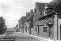
The building on the right jutting into Windy Street is John Brabin's school. He was a great benefactor; his home was on Chipping's main street at what is now the post office.
The Leicester to Northampton road passes through Welford's High Street, parallel with the much more tranquil West Street.
This view looks along Church Street from its junction with Market Street and Tylers Way; the latter is a modern road and where the boys stand is now a roundabout.
This is a classic view of Neville Street, with the entrance to the Central Station on the left and St Mary's Roman Catholic Church in the background.
Church Street leads down to St. Mary-le-Gill church.
Street lighting has been improved, and there are seats from which to enjoy the scene.
Round the bend, past the old garage, the A271 continues as Gardner Street, the main shopping street of the village.
We are looking up Bridge Street past the North Street junction.
Dartford is an ancient market-town which grew into a busy industrial centre on the River Darent, at the point where it was crossed by the Roman Watling Street, parts of which lie buried four feet beneath
This delightful street is named after the watch bell which hung here and was rung to warn inhabitants of approach- ing French raids.
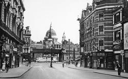
Here Fleet Street runs gently downhill towards Ludgate Circus in the River Fleet valley. Ludgate Hill starts under the railway bridge.
It was along this street that the men of the town swarmed in 1381 towards St Albans. They demanded and received a charter protecting their right of pasture, fisheries and so on.
Dartford is an ancient market-town which grew into a busy industrial centre on the River Darent, at the point where it was crossed by the Roman Watling Street, parts of which lie buried four feet beneath
Market Street is now pedestrianised. The Lloyds Bank building on the right has been renovated, though the exterior is similar. The Crown to the right of it is now a building society.
He is facing Westgate Street. Dorothy Perkins store is immediately behind him. Hardy's store is prominent; it was a well-known business retailing furniture.
Six years after picture No 39384 was taken, the most notable change to the view lies in the resurfacing and repair of the pavements and guttering on both sides of the street.
Places (385)
Photos (24921)
Memories (6667)
Books (3)
Maps (1622)


