Places
36 places found.
Those places high-lighted have photos. All locations may have maps, books and memories.
- Cardiff, South Glamorgan
- Barry, South Glamorgan
- Penarth, South Glamorgan
- Rhoose, South Glamorgan
- St Athan, South Glamorgan
- Cowbridge, South Glamorgan
- South Molton, Devon
- Llantwit Major, South Glamorgan
- Chipping Sodbury, Avon
- South Chingford, Greater London
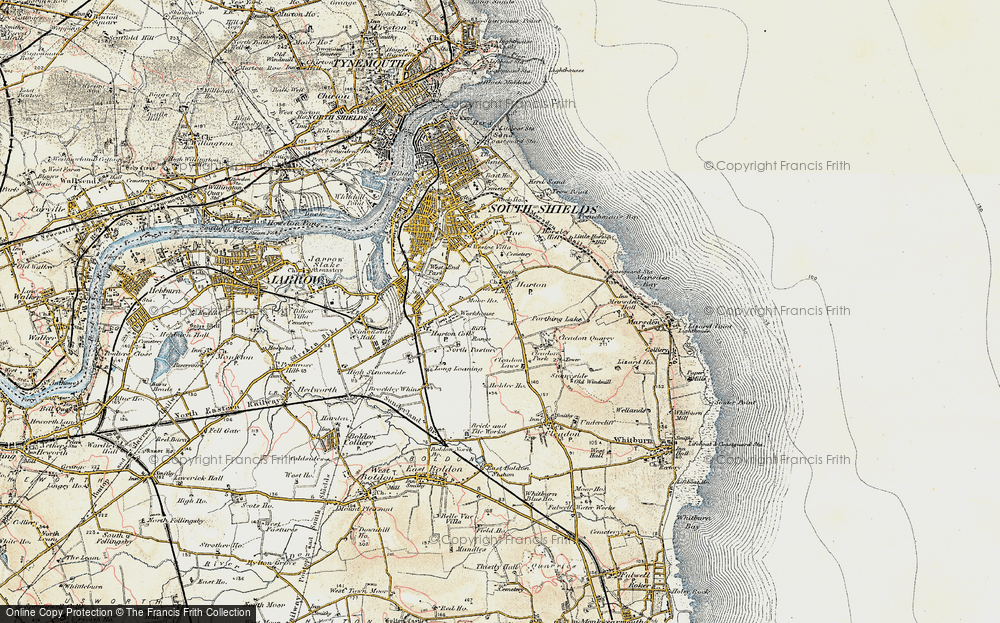
- South Shields, Tyne and Wear
- Ayr, Strathclyde
- St Donat's, South Glamorgan
- Llanblethian, South Glamorgan
- Thornbury, Avon
- Llandough, South Glamorgan
- Fonmon, South Glamorgan
- St Nicholas, South Glamorgan
- Jarrow, Tyne and Wear
- Penmark, South Glamorgan
- Font-y-gary, South Glamorgan
- Maybole, Strathclyde
- Yate, Avon
- Oxford, Oxfordshire
- Torquay, Devon
- Newquay, Cornwall
- Salisbury, Wiltshire
- Bournemouth, Dorset
- St Ives, Cornwall
- Falmouth, Cornwall
- Guildford, Surrey
- Bath, Avon
- Looe, Cornwall
- Reigate, Surrey
- Minehead, Somerset
- Bude, Cornwall
Photos
5,607 photos found. Showing results 1,441 to 1,460.
Maps
2,499 maps found.
Books
23 books found. Showing results 1,729 to 23.
Memories
1,577 memories found. Showing results 721 to 730.
Growing Up In South Norwood And Visiting Central Croydon
I was born in Rotherhithe in 1939 and moved with my parents to south Norwood when I was 3. I went to Cypress Primary School during the last year of the war and remember vividly walking from ...Read more
A memory of Croydon in 1944 by
Four Years Old
My earliest memories were in Fulford, York, at the tail end of the 1960s before my parents moved me to South Yorkshire at the age of six in 1971. My father worked at what was then called the Labour Exchange in York. He was later ...Read more
A memory of Fulford in 1969 by
Birth Place
I was born Catherine Kenningham 1947 in my Grandmother Rogers' cottage on Manchester Road. My mother was Lucy Rogers who came to Stocksbridge at a very early age.She went to a local school of which l would like know the name. My ...Read more
A memory of Stocksbridge by
Does Anyone Have Any Photos Of The Old Iron Bridge In Hunstanton
Hi, Does anyone have any pictures of the old iron bridge that crossed South Beach Road? It was next to the house that is adjacent to the roundabout near what is now Tesco. If your ...Read more
A memory of Hunstanton in 1965 by
Manor Road
I was 8 yreas old when my father was killed in London and my mum, brother David, and sister Margaret came to live in Sundridge to live with my dad's brother's family in Manor Road. We all attended Brasted School. In my final year ...Read more
A memory of Sundridge in 1940 by
Not So Green Rose Green
The shop, Oakmere pet and garden supplies, 9 Rose Green Road, was a small electrical, radio and TV business back in the early 1960s. I worked there as a young lad in 1962/63 (the cold winter), the people renting the shop ...Read more
A memory of Rose Green in 1963 by
My Young Days At Catherington
MY YOUNG DAYS AT CATHERINGTON, RANDELLS COTTAGE, LINKHORN Born in 1942 in Cornwall, my early years of school were at Clanfield. My holidays were spent at my grandmother’s house at Randells Cottage, my father was ...Read more
A memory of Catherington in 1947 by
Early Years
I was born in Carshalton and lived at 5 Pelton Avenue for the first 10 years of my life. A Mr Ely lived at No 1, Mr and Mrs Townsend with their 2 children Catherine and Michael, at no 3, us, then known as Barbara Coleman at no 5, Mr & ...Read more
A memory of Belmont in 1948 by
The Priory
I attended the Priory, as most 'South Parkites' did, I was born and grew up on Lyndhurst Road. There was only two people who owned cars on our street back then, Mr Jeffries a bus driver at Lesbourne Road garage and Mr Sageant a self ...Read more
A memory of Reigate in 1955 by
Old Hartley County Primary School
I am part of a research team looking into the history of schooling in Seaton Sluice. My era is 1945 to the school closing in July 1969 and I would like to hear from past pupils. I myself, was at the ...Read more
A memory of Hartley by
Captions
2,476 captions found. Showing results 1,729 to 1,752.
To the south, across the Sleaford to Skegness Road, an alley leads to Lord Cromwell's College just beyond the road frontage buildings; it is another 15th-century brick building, known as the Old College
This 1940s view from the station, which is some way south of the town, shows just how many trees were still left then.
Here, the High Street splits into three roads: to Leicester; to South Back Way and to Stockerston. The rather crude signpost has now gone and there is no entry from this direction.
Among the church's interesting curiosities are a sundial on the south wall, a stout Norman tub font and a delicately carved 15th-century pulpit.
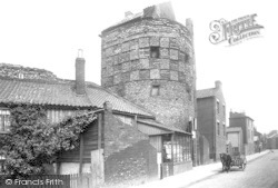
The Blackfriars, otherwise known as the South-East Tower, was used in the 19th century as a shop at street level with accommodation above—there was even a small cottage built on top.
On the south side of the palace was a huge deer park, Somersham Chase, that survived until the enclosures.
The baths were donated in 1914 by Sir William Gray, the famous local shipbuilder who had also founded the South Durham Steel and Iron Company in 1898.
On the right is a glimpse of the electricity showrooms which bound the open frontage to the Town Hall on its north side, while to the south are the gas showrooms.
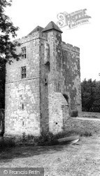
There is no known record of the history or appearance of this castle, which is situated eight miles south-west of Cardiff.
South-eat of Chesham town centre the road runs alongside the River Chess in its flat-bottomed valley.
The 120-foot tower of St James' dominates this view from the south-east. The church is notable for its 15th- century frontals, which are said to be the earliest set in the country.
Hopton is a diminutive village resort on the A12 just south of Great Yarmouth.
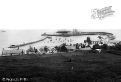
We are looking at the medieval Cobb harbour (centre) from the tennis ground on the cliffs south of Langmoor Gardens.
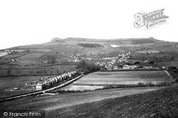
From the slopes of Quarry Hill, above Park Farm (centre), we look south-westwards to Golden Cap (left of centre) and Langdon Hill.
Half a mile south-east of Dicker we reach Michelham Priory, the buildings set within a large rectangular wet moat fed by the Cuckmere River, which forms the moat's north-west arm.
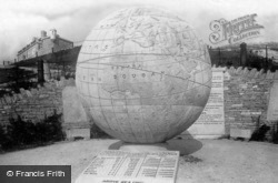
Newly-built Durlston Castle (top left) and the 40-ton Great Globe, also dating from 1887, are seen here from the south-east.
Ashburton was the terminus of the nine-mile branch of the Buckfastleigh, Totnes and South Devon line, which was completed in 1872.
The Scots are known to have raided at least as far south as Bradford.
The Scots are known to have raided at least as far south as Bradford.
Situated at the southernmost end of the Isle of Thanet, the bay is bounded by cliffs on the north, and by marshes to the south.
This view looks south towards Troutbeck, with the shoulder of Broad End on the left.
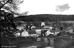
Also featured is the bridge over the Derwent by which visitors from the south enter the village. Those coming from the north pass under the Abbey's embattled 15th-century gatehouse.
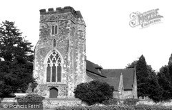
The body of the church is flint with Victorian detail, including a bleak Victorian window of 1847 on the south transept front.
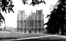
The lower niches to the north contain scenes from the New Testament, and to the south scenes from the Old Testament, while beneath these are angels.
Places (15471)
Photos (5607)
Memories (1577)
Books (23)
Maps (2499)


