Places
36 places found.
Those places high-lighted have photos. All locations may have maps, books and memories.
- Cardiff, South Glamorgan
- Barry, South Glamorgan
- Penarth, South Glamorgan
- Rhoose, South Glamorgan
- St Athan, South Glamorgan
- Cowbridge, South Glamorgan
- South Molton, Devon
- Llantwit Major, South Glamorgan
- Chipping Sodbury, Avon
- South Chingford, Greater London
- South Shields, Tyne and Wear
- Ayr, Strathclyde
- St Donat's, South Glamorgan
- Llanblethian, South Glamorgan
- Thornbury, Avon
- Llandough, South Glamorgan
- Fonmon, South Glamorgan
- St Nicholas, South Glamorgan
- Jarrow, Tyne and Wear
- Penmark, South Glamorgan
- Font-y-gary, South Glamorgan
- Maybole, Strathclyde
- Yate, Avon
- Oxford, Oxfordshire
- Torquay, Devon
- Newquay, Cornwall
- Salisbury, Wiltshire
- Bournemouth, Dorset
- St Ives, Cornwall
- Falmouth, Cornwall
- Guildford, Surrey
- Bath, Avon
- Looe, Cornwall
- Reigate, Surrey
- Minehead, Somerset
- Bude, Cornwall
Photos
5,607 photos found. Showing results 1,761 to 1,780.
Maps
2,499 maps found.
Books
23 books found. Showing results 2,113 to 23.
Memories
1,580 memories found. Showing results 881 to 890.
Berry Brow, A Thriving Community
Back in the 1950s I lived in Primrose Hill, my father was a plumber / electrician working for Joe Ellam in Lockwood, my mother a millworker at Brooks Mill, Armitage Bridge, before I was of school age I can remember ...Read more
A memory of Berry Brow by
From Kendal To The New World.
My roots in Kendal go very deep indeed, my Great Grandfather was James Dawson Garnett who was born there in 1851 on Lake Road and married Elizabeth Sherrin a local girl in 1871. Their son James Langhorn Garnett was my ...Read more
A memory of Kendal by
Tattenham Corner In The 1950,S
I use to live along Epsom Lane North Known as the switchback to locals because of the dips up and down in the road, my father bought South Tadworth along there , where I grew up from 1940 to 1957 when I got married. I ...Read more
A memory of Croydon by
Portwood Memories
I have vivid memories of the slippery rock in Vernon Park. Other memories from the park were, the bench in the shelter at the lower entrance, I used to run around on top of the bench. The rhodedendron bushes, they were great for ...Read more
A memory of Stockport by
Swindon 1957 To 1966
We moved to Swindon in 1957 from London (Wimbledon, actually) when my dad, a skilled engineer, got a job at Vickers Armstrongs at South Marston, with a brand new council house thrown in. In those post-war austerity days there was no ...Read more
A memory of Swindon by
The "Brackston" Family
Good morning. I'm researching my family history and have census records of unknown date (possibly1880's) in which Rosina (Rosenna??????) Brackston (38) wife of Uriah, a gardener (41) have a daughter Rosina (16) who was a silk ...Read more
A memory of Croscombe by
Watching Brentford Playing Football 60years Ago.
I have only just found this site for sharing your memories of days long gone by, I used to live at No 30 Coningsby Rd South Ealing W5, we lived in 3 rooms upstairs in this house until my dad was given a ...Read more
A memory of Brentford by
Family Links To South Hinksey
1901 - Bowlers were living at 60 the Village, having moved since 1891 census, when they were living in Chilswell. John Bowler Head Married 52 Male Nuneham, Oxon Farm Labourer Ellen S ...Read more
A memory of South Hinksey by
My Early Days In Hackney
Hi , My name is Vic Ballard , I was brought up by my Grandparents from 1942 and lived next door to Cassland Rd school which later became my secondary school , my first school was Orchard Rd at the end of Cassland Rd and ...Read more
A memory of South Hackney by
I Attended St Mary's School Knockentiber From The Age Of 4 In 1948 Til The Age Of Twelve When I Sat The Exam Called 11plusthen I Went To High Sch
I remember my days T St Mary's our teacher was a miss Elizabeth Shankland she also had taught my mother ...Read more
A memory of Knockentiber by
Captions
2,476 captions found. Showing results 2,113 to 2,136.
In late Victorian times the town expanded south-west.
Another of the surrounding parishes into which Bridport borough expanded, Bothenhampton lies to the south-east, with a deep-cut village street which has left a dense cluster of terraces standing on
The village of Quernmore is three miles south-east of Lancaster. Quernmore Park Hall lies just over a mile north of the village.
This is one of the pubs along the A322 at the south end of Bisley's village green.
Instead, he took his camera down Pitland Street to the south.
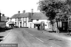
Marden lies nine miles south of Maidstone. In this quintessential village scene, we see the village bobby standing next to the red telephone box, with a café selling ice creams behind.
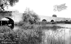
The attractive village of Bromham is now bypassed, so the old bridge over the Great Ouse is mercifully much quieter than it was a few years ago.
Note how the 14th century north arcade of Polyphant stone contrasts with the more lofty granite south arcade which was built a century later.
The half-timbered Kings Head inn in the background recalls the coaching age: Northleach was on the main London, Oxford, Gloucester and South Wales road (the main A40 road now by-passes the
On the south side of the street are several half-timbered houses of notable quality, with Shakespeare House and its prominent gable, and the Chequers Inn, both very evident.
The parish church is just south of the High Street - we can see its tower (centre left).
The camera looks north-south along the High Street as it crosses the Leicester to Nottingham railway, and at a not unattractive group of houses and shops ranging in date from the 18th
Originally the town extended only as far as the River Leen, but during the 19th century it advanced south across The Meadows to the River Trent.
In the distance is South Parade and Old Market Square.
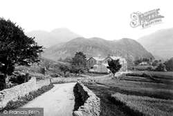
This very early postcard view of the Borrowdale Hotel, with Grange Crags behind, shows the Lake District as it was before the tourist invasion really took hold.The traffic-free minor road meanders south
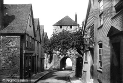
Westgate, dating back to the 14th century, provides access to the south-west corner of the old walled town.
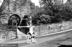
This, the south gate to the castle keep, is today the main entrance, but it is thought that in the castle's heyday the north gate was the main access.
The camera looks north-south along the High Street as it crosses the Leicester to Nottingham railway, and at a not unattractive group of houses and shops ranging in date from the 18th
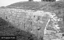
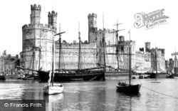
Here we get a good view of the banded masonry along the south front. Inspired by the Theodosian Wall at Constantinople, its use at Caernarvon was deliberate and designed to impress.
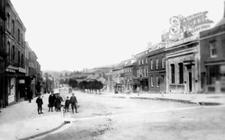
On the south side of this view is the London House store of house furnishers Walter Baker Northover and Son. Colmer's Hill is the distinctive distant hilltop(centre).
Although the railway station opened in 1847 some 200 yards south of the Cock Hotel crossroads, development did not really get under way here until the Epsom Downs line opened in 1865, and new station
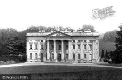
Moor Park was built in the 1720s for the banker and South Sea Bubble profiteer Benjamin Styles.
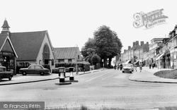
This view is at the junction of Woodside and Rickmansworth Roads and looks south-west towards Oakfield Corner.
South-east of East Hoathly lies the large scattered parish of Chiddingly, a typical rolling Wealden-edge village composed of scattered hamlets, farmsteads and woodland.
Places (15471)
Photos (5607)
Memories (1580)
Books (23)
Maps (2499)


