Places
7 places found.
Those places high-lighted have photos. All locations may have maps, books and memories.
Photos
264 photos found. Showing results 201 to 220.
Maps
28 maps found.
Books
Sorry, no books were found that related to your search.
Memories
357 memories found. Showing results 101 to 110.
Braintree Friends
My mum Eileen Ardern, nee Clark, was born at 59 Notley Road, Braintree in 1925. She married my dad Roy in 1944 and shortly afterwards moved north to Altrincham in Cheshire. She would dearly love to hear from Peggy Potter (age 84), ...Read more
A memory of Braintree in 1930 by
Fever And Festival
I remember January 1951, my second year at Croydon Parish Church Infants' School, I was six. I was beginning to wonder where about a quarter of the class had gone. Then I fell ill and Dr Schofield (not sure which one, there were ...Read more
A memory of Croydon in 1951 by
Birthplace
I was born in Lound in 1937 and lived there until I was called up for national service December 1957. My grandparents were the last family to farm at East View farm, the farmhouse is now a private house, the land was sold for ...Read more
A memory of Lound in 1940 by
That Morris Minor Traveller Has To Be Our Dad's Car!
My family lived at No 3 (the top flat), Corner House, at the top end of Broad Street, first on the left looking at the photo (but just out of the picture) for many years from 1947 or so. I ...Read more
A memory of New Alresford in 1947 by
My First Day At Work
I can never pass through Maids Moreton without recalling my first day at work as an apprentice electrician for The East Midlands Electricity Board, Buckingham. It was April 14th 1958 and I was assigned to Mr Jack Holland, ...Read more
A memory of Maids' Moreton in 1958 by
Music And Dancing In The Streets Of Teignmouth
Teignmouth Folk Festival attracted crowds who filled the sunny promenade and town centre streets to watch the many Morris Teams at this 2009 event. Musicians and dancers formed a procession at the ...Read more
A memory of Teignmouth in 2009 by
The Station The Cinemas
I was born in Manor Park in 1937 but spent a lot of time in East Ham as my mother was a keen cinema-goer. The Granada in Barking Road used to have a four hour programme with two films and an hour long stage show. I recall ...Read more
A memory of East Ham by
Chef's 1948 To 1960
I was a young trainee chef at the then posh Pattisons Restaurant, Corporation Street, after national service in the far east. Who remembers the Worcester Street restaurant with then Mrs Burgess, today's site the Rotunda. I ...Read more
A memory of Birmingham in 1948 by
Glasgow Agency Of The Bank Of England
"The Old Lady of Threadneedle Street" as the Bank of England is known maintained a small office in Glasgow fir many years. It was on the north side of St VIncent Place and I worked there between 1975 and 1978. ...Read more
A memory of Glasgow in 1975 by
My Beautiful Kentish Birthplace
I was born in East House, Tenterden Road, Rolvenden on 2nd November 1938. My dad was about to join the RAF and I was born in my grandparents' home. There were large cellars below the house - very scarey. East House ...Read more
A memory of Rolvenden in 1940 by
Captions
439 captions found. Showing results 241 to 264.
Carnforth's industries of sand and gravel extraction and iron smelting depended upon the Lancaster Canal and later the railway, when an important junction between the north-south and east-west
The remainder of the building is 1856, designed by Street, including the rather wild spire with enlarged pinnacles, flying buttresses and very large lucarnes.
In 1902 the architect Charles Ashbee brought 100 silversmiths, furniture makers and other craftsmen with their families from London's East End to establish the Guild of Handicraft in Chipping Campden.
Now they are closed, along with most other collieries in the north-east Derbyshire coalfield, the town has reverted to the kind of calm seen in this mid-50s view of the Main Street.
Here, looking east we see the old Wesleyan chapel (1861) to the left, now a guesthouse. Lime Cottage, jutting out near the end of the street, is dated 1904.
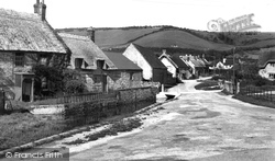
As with so many East Devon villages, a tiny stream - the Beer Brook - runs down the main street, first on one side of the road and then on the other.
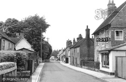
This earlier photo looks east and gives a better view of the thatched cottage and the large house with the impressive porch. Beyond is a grocer's at the 'Hovis' sign.
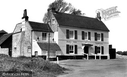
This popular public house in Goring Street was formerly known as The Bull's Head; the old sign, which hung over the door for years, was removed by the brewery and transferred to a public house in East
Whitwell stands at the entrance to the Duke of Portland's Welbeck Abbey, and it is in the heart of north-east Derbyshire's former coal mining country.
At the east end of Spilman Street is St Peter's Church, an old building on the highest ground in the older portion of the town. Little is known about this church, including the date of its erection.
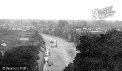
A Panorama south-eastwards across Allington hamlet and West Allington street to the Rope Works, St Michael`s Works and Priors Mills (middle distance, left).
The market town of Bedale is just a few miles to the north-east of Masham.
Sheaf Street did not survive modernisation and the buildings on the right, as far as the Dutch blind over the shop window, were swept away for the modern Foundry Walk shopping arcade.
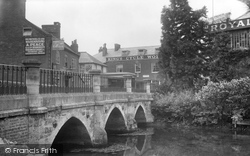
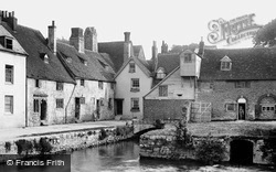
Along Thames Street, east of the town's medieval river bridge, abbey buildings remain. Note the gabled 13th-century chimney stack to The Chequer.
A Panorama south-eastwards across Allington hamlet and West Allington street to the Rope Works, St Michael`s Works and Priors Mills (middle distance, left).
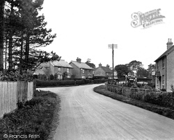
Chelwood Gate, a hamlet on the western side of Ashdown Forest, lies between East Grinstead and Lewes. Today it is centred on a long main street.
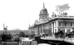
It is situated on the north bank of the Liffey to the east of O'Connell Street, and was heavily damaged in the civil war, although restored a few years later.
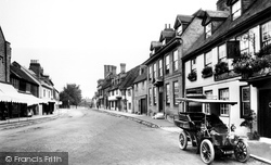
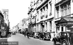
The town, now mercifully by-passed, has a remarkably complete High Street, considering the volume of traffic that used to choke it en route to the coast.
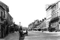
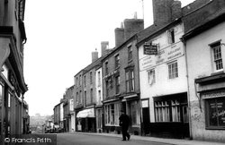
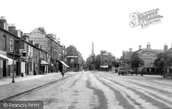
To the west the Melton Mowbray road reaches the town centre via Westgate, a wide street seen here looking north-east towards Market Place.
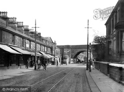
The railway line to Huncoat and Burnley crosses the road here.There was at one time another line down to Rawtenstall, joining what is now the East Lancashire Preserved Railway.As well as having three
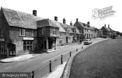
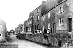
Another of the surrounding parishes into which Bridport borough expanded, Bothenhampton lies to the south-east, with a deep-cut village street which has left a dense cluster of terraces standing
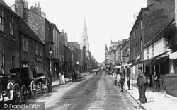
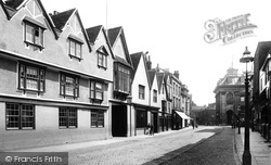
Both photographs show the view looking east towards the Town Hall; apart from the cobbled street, the main difference is the loss of the Lion Hotel (left) itself a merger in 1866 of the King's Head Inn
Others included The Bell Hotel and The New County in Southgate Street and The Fleece in Westgate Street.
Another of the surrounding parishes into which Bridport borough expanded, Bothenhampton lies to the south-east, with a deep-cut village street which has left a dense cluster of terraces standing on
Places (7)
Photos (264)
Memories (357)
Books (0)
Maps (28)


