Places
36 places found.
Those places high-lighted have photos. All locations may have maps, books and memories.
- Shanklin, Isle of Wight
- Ventnor, Isle of Wight
- Ryde, Isle of Wight
- Cowes, Isle of Wight
- Sandown, Isle of Wight
- Port of Ness, Western Isles
- London, Greater London
- Cambridge, Cambridgeshire
- Dublin, Republic of Ireland
- Killarney, Republic of Ireland
- Douglas, Isle of Man
- Plymouth, Devon
- Newport, Isle of Wight
- Southwold, Suffolk
- Bristol, Avon
- Lowestoft, Suffolk
- Cromer, Norfolk
- Edinburgh, Lothian
- Maldon, Essex
- Clacton-On-Sea, Essex
- Norwich, Norfolk
- Felixstowe, Suffolk
- Hitchin, Hertfordshire
- Stevenage, Hertfordshire
- Colchester, Essex
- Nottingham, Nottinghamshire
- Bedford, Bedfordshire
- Bury St Edmunds, Suffolk
- Aldeburgh, Suffolk
- St Albans, Hertfordshire
- Hunstanton, Norfolk
- Chelmsford, Essex
- Bishop's Stortford, Hertfordshire
- Peterborough, Cambridgeshire
- Brentwood, Essex
- Glengarriff, Republic of Ireland
Photos
2,038 photos found. Showing results 41 to 60.
Maps
25 maps found.
Memories
Sorry, no memories were found that related to your search.
Captions
237 captions found. Showing results 49 to 72.
The detailing is borrowed from the eight blank panels in the Medici chapel in Florence; on these panels are carved the names of the town's dead of the First World War.
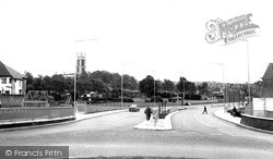
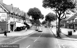
This view of the main road (known here simply as 'The Ringway') shows St George's Park just to the left of the dual carriageway.
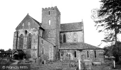
Like many abbeys and monasteries up and down the country, this former Cistercian monastery was dissolved in the reign of Henry VIII.
To the south of the village lies some of the most spectacular downland in Sussex - a popular haunt of walkers and outdoor enthusiasts.
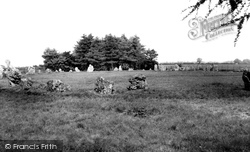
Just north of Chipping Norton, in the parish of Great Rollright, lie the Rollright Stones, set in a circle about 100 feet in diameter.
(Courtesy of West Sussex County Library Service) Invariably, there is some sort of collective activity amongst the regular customers of a pub.
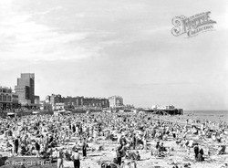
This Frith scene from 1950 contrasts with Francis Frith's photographs of Margate Sands in Victorian and Edwardian times.
On the other hand, in a town where immigration has been below the national average, multi-culturalism has made comparatively little impact.
Late Victorian guidebooks often described the central part of the island in terms such as 'mountainous and beautifully diversified; streams, flowing through narrow leafy glens, with precipitous sides,
The church of St John the Baptist is in the village of Carnaby, which is just over two miles from Bridlington and was on the Scarborough and Hull branch of the North Eastern Railway line.
These charming houses are at the east end of the quay; the left-hand one, Ferry House, is a reminder of the Colne ferry that crossed the river here. To the right are the cranes of a boatyard.
Boston was not only the largest town and the commercial capital of Lincolnshire in the early 19th century but was also the first town in the county to industrialise.
These views show the town from the 1890s to the 1960s; they record both the many changes that have taken place and also, paradoxically, how much of the old town survives.
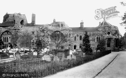
Houses had been built into the central arches of the west front by at least the 1660s. The Norman-style windows to the right date from 1863, when this wing became the Probate Registry Office.
The Causeway development, carried out between 1955 and 1957, created a parade of shops, flats and dwellings on the site of Causeway House, which was finally demolished in 1957.
Through much of the Tudor period the Taylor family lived there, but in 1582 John Taylor found himself in debt, and he had to sell the lease to Henry Middlemore. The price was £1,318.
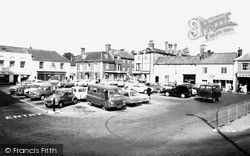
In this view of the Market Place, the vehicles in the car park are typical of the period, and the van in the centre probably came from RAF Chilmark nearby.
The large weather-boarded buildings on the left are the silk mills of Warner & Sons, who had taken over the business of Walters & Co in 1894.
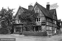
Birmingham House, an early 17th century timber-framed double-fronted building, was once the home of the grandfather of Izaak Walton, author of 'The Compleat Angler', published in 1653.
The Urban District of King’s Norton and Northfield had a population in excess of 78,000 and covered 22,000 acres.The plans would give Birmingham a population of 850,000, making it the second
but impressive ashlar tower dominates the immediate street scene with its substantial angled buttresses and crocketted finials; these are not 15th-century, but were added in 1832, after the collapse of
A view of the village of Whitekirk.
Stafford was next involved in national politics when William Howard, Viscount Stafford (1614-80), became one of the victims of the so-called 'Popish Plot' invented by the notorious Titus Oates.
The canal meets the River Gade at Heath Park, to the south of Marlowes.
Places (6814)
Photos (2038)
Memories (0)
Books (431)
Maps (25)


