Places
36 places found.
Those places high-lighted have photos. All locations may have maps, books and memories.
- Cardiff, South Glamorgan
- Barry, South Glamorgan
- Penarth, South Glamorgan
- Rhoose, South Glamorgan
- St Athan, South Glamorgan
- Cowbridge, South Glamorgan
- South Molton, Devon
- Llantwit Major, South Glamorgan
- Chipping Sodbury, Avon
- South Chingford, Greater London
- South Shields, Tyne and Wear
- Ayr, Strathclyde
- St Donat's, South Glamorgan
- Llanblethian, South Glamorgan
- Thornbury, Avon
- Llandough, South Glamorgan
- Fonmon, South Glamorgan
- St Nicholas, South Glamorgan
- Jarrow, Tyne and Wear
- Penmark, South Glamorgan
- Font-y-gary, South Glamorgan
- Maybole, Strathclyde
- Yate, Avon
- Oxford, Oxfordshire
- Torquay, Devon
- Newquay, Cornwall
- Salisbury, Wiltshire
- Bournemouth, Dorset
- St Ives, Cornwall
- Falmouth, Cornwall
- Guildford, Surrey
- Bath, Avon
- Looe, Cornwall
- Reigate, Surrey
- Minehead, Somerset
- Bude, Cornwall
Photos
553 photos found. Showing results 1 to 20.
Maps
Sorry, no maps were found that related to your search.
Memories
Sorry, no memories were found that related to your search.
Captions
32 captions found. Showing results 1 to 24.
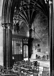
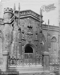
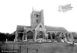
The south Beauchamp Chapel is very ornate, with two bays, four- and five-light windows, decorated battlements and pinnacles.
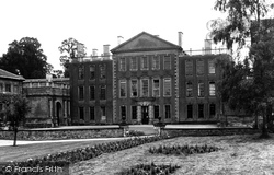
Aynho, on the Oxfordshire border south of Banbury, is a beautiful ironstone village dominated by its great mansion, Aynho Park House.
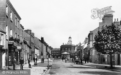
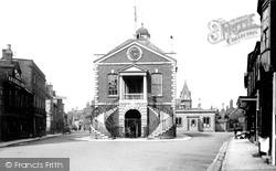
This is looking northwards up South Street, to Stag House at the top end of West Street and the Town Hall (centre).
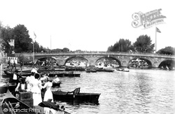
All three views taken by the Frith photographer in 1899 are south of the Regatta course, which from 1886 had its finishing line near Phyllis Court.
It looks north over the wide, flat, formerly marshy valley of the River Arun and the Amberley Wild Brooks, and west to the narrowing valley as the river cuts through the South Downs.
The Hartmoor area of Devizes lies to the south. This photograph is a revealing view of old England.
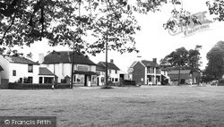
Looking across Bowling Green to the south side of Oxford Road, these houses are mainly early and later 19th century.
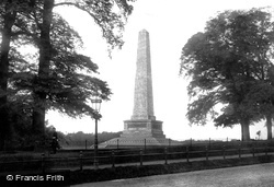
This 204ft (63m) high obelisk on the south side of the main road was designed by Robert Smirke and believed to be the highest in the world at the time.
From the bottom of Valley Road the camera captures a crowded South Beach scene, and a bay full of sail-driven fishing boats.
At this date, buses came up Market Street, around the Square and then proceeded up Market Street towards the Castle and turned left into King Street southwards, towards the south of the city.
At the south end of the village is Townend, a typical Lakeland statesman's house, now in the care of the National Trust.
This picture was taken from the South Jetty.
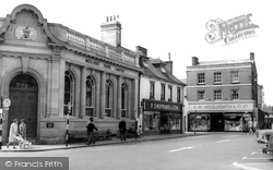
Here we see the south side of Wimborne's square at a time when the bank was called the Midland. This, with the nearby Minster, was the heart of the town.
Here we see the south side of Wimborne’s square at a time when the bank was called the Midland. This, with the nearby Minster, was the heart of the town.
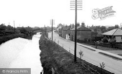
Further south is the Foss Dyke. In the middle distance is the site of the old swing bridge, now replaced by the present 1937 bridge on the A57 bypass upon which the photographer is standing.
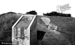
Inside is a stone-lined gallery some 20ft long, with two side chambers leading off on the south side. A matching pair on the north side has long since collapsed.
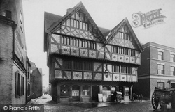
In South Street, Shodfriars Hall is an echo of the four friaries established in the medieval town.
To the south of the village lies some of the most spectacular downland in Sussex - a popular haunt of walkers and outdoor enthusiasts.
This remote spot in the far south-west corner of Britain has played a major role in world communications and commerce.
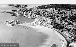
In the distance is Birnbeck Pier with the steamer jetty to the north, and the lifeboat slipway on the south.
The body of the church is flint with Victorian detail, including a bleak Victorian window of 1847 on the south transept front.
It was opened to celebrate Queen Victoria's Golden Jubilee but when the new church was consecrated in South Parade the old building found use as the public library, until the new Sutton Coldfield
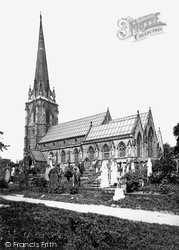
Approach from the south, over a brook and through trees, to the 15th-century tower and slender recessed crocketed spire of St Mary's, standing over 200 feet high.
Upper Rushall Street and Peal Street running north and south from the bottom of the church steps indicate ancient routes to Lichfield and Wednesbury.
Places (15471)
Photos (553)
Memories (0)
Books (22)
Maps (0)


