Places
36 places found.
Those places high-lighted have photos. All locations may have maps, books and memories.
- Cardiff, South Glamorgan
- Barry, South Glamorgan
- Penarth, South Glamorgan
- Rhoose, South Glamorgan
- St Athan, South Glamorgan
- Cowbridge, South Glamorgan
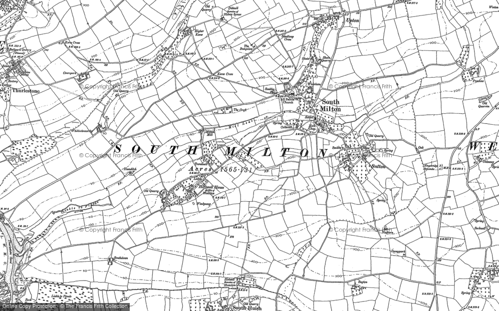
- South Molton, Devon
- Llantwit Major, South Glamorgan
- Chipping Sodbury, Avon
- South Chingford, Greater London
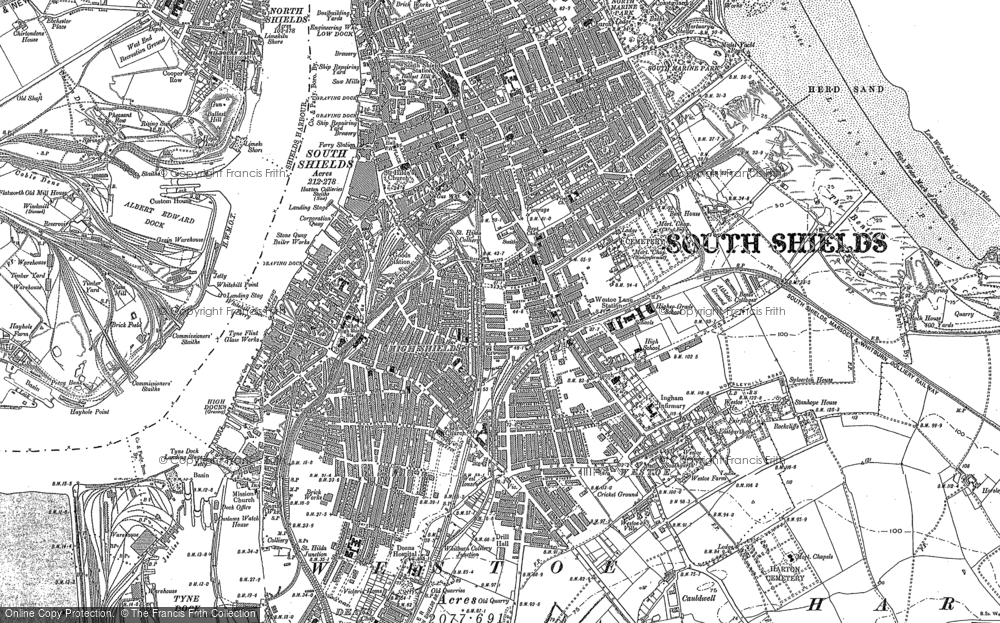
- South Shields, Tyne and Wear
- Ayr, Strathclyde
- St Donat's, South Glamorgan
- Llanblethian, South Glamorgan
- Thornbury, Avon
- Llandough, South Glamorgan
- Fonmon, South Glamorgan
- St Nicholas, South Glamorgan
- Jarrow, Tyne and Wear
- Penmark, South Glamorgan
- Font-y-gary, South Glamorgan
- Maybole, Strathclyde
- Yate, Avon
- Oxford, Oxfordshire
- Torquay, Devon
- Newquay, Cornwall
- Salisbury, Wiltshire
- Bournemouth, Dorset
- St Ives, Cornwall
- Falmouth, Cornwall
- Guildford, Surrey
- Bath, Avon
- Looe, Cornwall
- Reigate, Surrey
- Minehead, Somerset
- Bude, Cornwall
Photos
5,607 photos found. Showing results 901 to 920.
Maps
2,499 maps found.
Books
23 books found. Showing results 1,081 to 23.
Memories
1,580 memories found. Showing results 451 to 460.
Piddock And Smiths
My gt. grandfathers married sisters named Brothers. The three familes have been in and around Deal for centuries Gt. grandfather Maxwell was a Royal Marine, as was grandfather Piddock. My father 'Phys' Pidddock was welterweight boxing ...Read more
A memory of Deal in 1860 by
Glasgow Agency Of The Bank Of England
"The Old Lady of Threadneedle Street" as the Bank of England is known maintained a small office in Glasgow fir many years. It was on the north side of St VIncent Place and I worked there between 1975 and 1978. ...Read more
A memory of Glasgow in 1975 by
An Evacuee During World War Ii
My name then was Babs Collins and my memory goes back to World War II, when I and others from my school in Victoria, London were evacuated to both East & West Clandon. We had been moved very hurriedly in July ...Read more
A memory of East Clandon in 1940 by
Portishead Our First House
My wife and I bought our first house at Portishead, South Road, it was £2,200, we could only borrow, so the monthly payment was the same as a week's wages, no overtime or my wife's wages taken into consideration. We had ...Read more
A memory of Portishead by
Freddie Holmes Garage
I attended the primary school, just down the Maldon Road from the garage in the photo, which was run by Mr Holmes. The sweet-shop behind the pumps was popular with us kids! Headmaster of the primary school was Mr Herbert ...Read more
A memory of Great Totham in 1960 by
Manor Park
I was born in Cedar Road maternity annexe in Sutton in 1956 and lived in Eaton Road for my first 10 years of life. One of my biggest joys was visiting the library that was situated in Manor Park in a house that I think may still be there, it ...Read more
A memory of Sutton by
Raf Radar Station Butser Hill
Hi everybody i went to clanfield school it was my first one my dad was in the Royal airforce and i remember he used to take me up there to his work place the radar station and show me cartoon pictures on his radar ...Read more
A memory of Clanfield in 1946 by
My Lodgings In Timperley
I stayed in lodgings in Timperley in 1966 in a small cul-de-sac called South Meade. I had to find accommodation as I was transferred from London to work at the Bank of England's branch in Manchester and by chance the hotel ...Read more
A memory of Timperley in 1966 by
Ballroom Dancing Days
I was born in 1962 and at the age of 4yrs went to a dance school in blackhall called Hall dance school Does any one know Bob and Doris at the time they may not be alive now they were the Dance teachers at the time. I ...Read more
A memory of Blackhall Colliery in 1966 by
Creasey's Coachworks At South Norwood
My Grandad, George Creasey Allen, and my Nana Allen married and settled in South Norwood in 1899. They lived at Addison Road before renting a house at 32 Apsley Road. Grandad got a job at Creasey's ...Read more
A memory of South Norwood in 1900 by
Captions
2,476 captions found. Showing results 1,081 to 1,104.
This was followed by the Liverpool-to-Crewe line, and then south to London's Euston.
Esthwaite Water, south of Hawkshead, is one of the quietest of the lakes, and is a Norse name meaning 'the lake by the eastern clearing'.
South of the river, Chelmsford becomes Moulsham.
Looking north from roughly the same viewpoint on the south bank of the Thames, the Perpendicular Gothic parish church with its tall spire, one of Gloucestershire's fine 'wool' churches, dominates the view
The priory was razed to the ground during the dissolution of the monasteries in 1539, and these ruins were discovered in 1886 during the construction of the London and South West Railway.
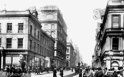
Renfield Street is now part of the south-bound one-way system.
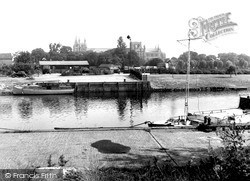
A few lorries of the period are parked on rough ground behind a hut; this makes a contrast with the full south-east outline of St Peter's Cathedral.
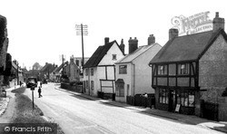
This view, looking south towards Aylesbury, shows some of the range of buildings, including the rendered and jettied Tudor House in the middle distance.
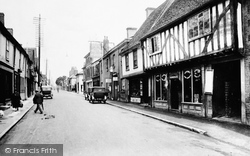
This view looks south towards London, along the narrow stretch of Ermine Street or the Old North Road, with its overhanging 17th-century houses and gables.
Its Victorian and Edwardian staff would have been very occupied in monitoring the substantial shipping traffic in the treacherous waters of Lyme Bay, where in severe south- westerly storms many
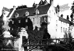
A few miles to the south of Nairn stands Cawdor Castle, one of Scotland's finest medieval buildings. It is famous for its association with Macbeth and the murder of Duncan.
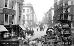
This photograph shows the Cannon Street end of King William Street, which heads south-east from the Mansion House towards London Bridge.
The line closed north of Matlock and south of Chinley in 1968. Central station is now Manchester's G-Mex Centre.
The wood sculpture of a pelican over the south door could have been a roof corbel.
In this later view, taken a little further south-west from photograph 26717, Dales' premises, Lindum House, on the corner of Wellington Road, has been rebuilt, but the former hotel beyond, now shops, can
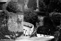
In the shadow of the 13th-century church of St Mary, to the south of Petworth House, the two young girls and the driver of the horse and cart pose for the camera in one of the innumerable nooks and crannies
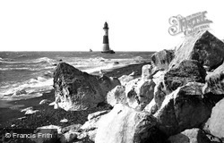
At the eastern extremity of the South Downs, the Royal Sovereign Lighthouse at the foot of Beachy Head warned shipping of the hazards of the chalk cliffs, which now lie under the sea.
The village was built around a crossroads to the south-east of the church. On the right is the 14th-century Bell Hotel, used as the headquarters of the British Legion from 1921.
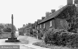
The village cross dates from the 18th century and, at the top of the column on its south-facing aspect, its a sundial, from which the village took its time.
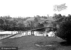
The photograph looks to the south bank, where a footpath follows the river downstream through Marles Wood to Salesbury Hall.
On the south side of Western Road is the Recreation Ground; it was enclosed in 1885, having formerly been part of Hailsham common. In this view the road is off to the right out of shot.
The school was originally located in premises opposite the parish church, but had moved to its present site to the south of the town by 1750; rebuilding began in 1809.
This was taken from the slope below Newfoundland Coppice, looking south-eastwards to Eype Down (centre), with Doghouse Farm in the dip below (right).
The wonderful setting, deer park and views of the South Downs enhance its beauty. Little has changed here since Tudor times.
Places (15471)
Photos (5607)
Memories (1580)
Books (23)
Maps (2499)


