Merry Christmas & Happy New Year!
Christmas Deliveries: If you placed an order on or before midday on Friday 19th December for Christmas delivery it was despatched before the Royal Mail or Parcel Force deadline and therefore should be received in time for Christmas. Orders placed after midday on Friday 19th December will be delivered in the New Year.
Please Note: Our offices and factory are now closed until Monday 5th January when we will be pleased to deal with any queries that have arisen during the holiday period.
During the holiday our Gift Cards may still be ordered for any last minute orders and will be sent automatically by email direct to your recipient - see here: Gift Cards
Places
36 places found.
Those places high-lighted have photos. All locations may have maps, books and memories.
- Cardiff, South Glamorgan
- Barry, South Glamorgan
- Penarth, South Glamorgan
- Rhoose, South Glamorgan
- St Athan, South Glamorgan
- Cowbridge, South Glamorgan
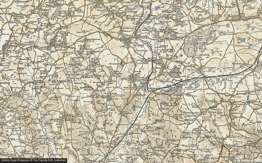
- South Molton, Devon
- Llantwit Major, South Glamorgan
- Chipping Sodbury, Avon
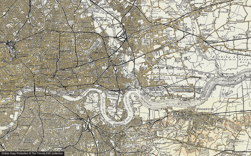
- South Chingford, Greater London
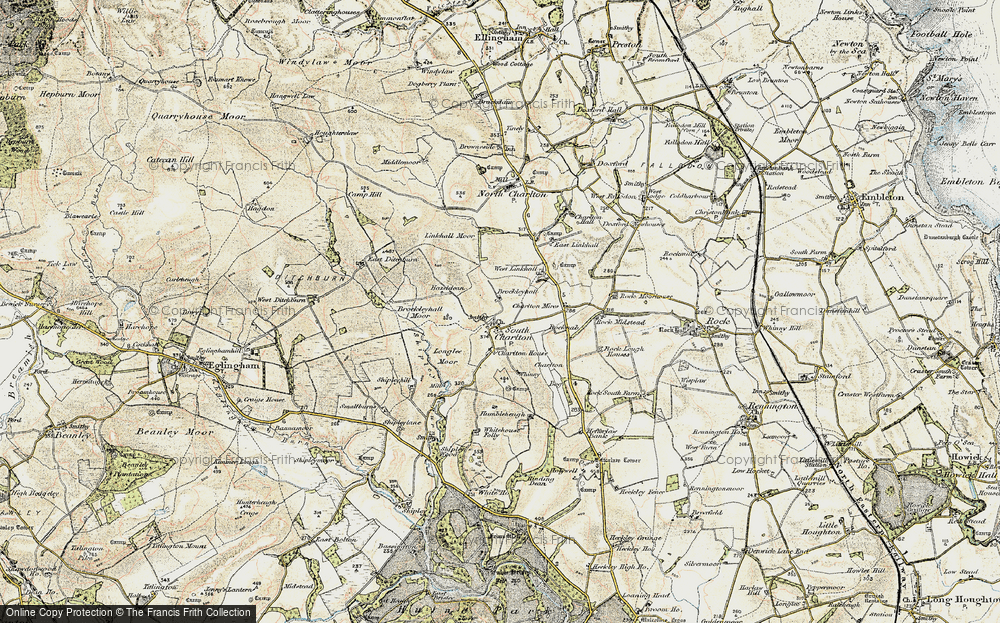
- South Shields, Tyne and Wear
- Ayr, Strathclyde
- St Donat's, South Glamorgan
- Llanblethian, South Glamorgan
- Thornbury, Avon
- Llandough, South Glamorgan
- Fonmon, South Glamorgan
- St Nicholas, South Glamorgan
- Jarrow, Tyne and Wear
- Penmark, South Glamorgan
- Font-y-gary, South Glamorgan
- Maybole, Strathclyde
- Yate, Avon
- Oxford, Oxfordshire
- Torquay, Devon
- Newquay, Cornwall
- Salisbury, Wiltshire
- Bournemouth, Dorset
- St Ives, Cornwall
- Falmouth, Cornwall
- Guildford, Surrey
- Bath, Avon
- Looe, Cornwall
- Reigate, Surrey
- Minehead, Somerset
- Bude, Cornwall
Photos
5,054 photos found. Showing results 1,041 to 1,060.
Maps
2,499 maps found.
Books
1 books found. Showing results 1,249 to 1.
Memories
1,580 memories found. Showing results 521 to 530.
Back A Bit To Silver End
I suppose I'm cheating but I can go back a good way further than the 1900s because my memories are mainly my mother's and she was born in 1904 and lived in South Street. She used to share her memories with me like ...Read more
A memory of Brierley Hill in 1900 by
"Singing Kettle"
Accompanying my Husband on business trips to U.K and Europe and being entertained by associates, I decided that I would like to do the same in our home in Port Elizabeth, South Africa. I got a"Cordon Bleu" in London and Paris over the ...Read more
A memory of Lloc in 1960 by
Morgan Family Who Took In Evacuee's
Hi this is a stab in the dark but maybe someone will know of something. My Nanna was a small girl during the war. She was born Annie Elizabeth Gordon in 1935 in Gateshead. Her and her older brother, Luke ...Read more
A memory of Cefn Hengoed in 1940 by
Southall Town 50's 60's 70's 80's
Between 1950 - 1980's the family owned a bakers shop at 84 High Street. P.G.WOODFORD & SON (opposite the Police Station). If anyone has memories of this period it would be good to get in touch. I ...Read more
A memory of Southall by
Childhood Memories Of South Molton
This is a belated response to Patricia Huxtable who recorded her memories of South Molton on 28th May 2008. My name is Guy Alford, I too was born in South Molton in 1941. My father Cyril Henry Alford owned a ...Read more
A memory of South Molton by
Dance Venues.
There were several modern dance venues which we regularly frequented, including The Ritz Ballroom which once stood at the junction of the Kingsbury Road and the western end of the Old Kenton Lane, and the Churchill Club which stood in ...Read more
A memory of Kingsbury by
Manor Road And Crescent Road Primary School
Hello Audrey and Yvonne! I'm new to my iPad so was amazed to come across your memories! I lived at 24 Manor road next door to you Yvonne with my mum and dad John and Winnie Ellis and my big brothers John and ...Read more
A memory of Erith by
Mobby
My father was born in South Alloa in 1928. He too told us a story about a whale being washed up. When was your mother born, would she have known my dad?
A memory of South Alloa by
Grays 1951 1969
I was born at the Orsett Hospital in March 1951. First home was in Palmerston Road South Stifford. My first School was Stifford Primary at the top of Mill Lane, the walk up the hill seems to be awfully long now for a 5 year old. I do ...Read more
A memory of Grays by
Methuen Rd
I was born in Edgware general hospital in 1945 we lived in methuen rd . In those days Edgware was a great place to live and I enjoyed a very happy childhood there.My sister and I attended Camrose school.I wonder what happend to David Laws who ...Read more
A memory of Edgware by
Captions
2,444 captions found. Showing results 1,249 to 1,272.
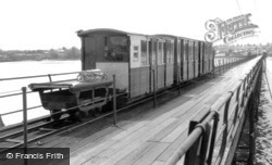
Hythe pier is the longest on the south coast, jutting out into Southampton Water opposite Netley. It was opened to the public in 1881, and is one of only a couple in this country with a railway.
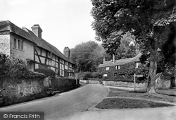
Here we see picturesque timber-framed cottages in the centre of Fittleworth, to the south-east of Petworth.
The spur buttresses that were added as an emergency measure on the north and south sides can clearly be seen in this view.
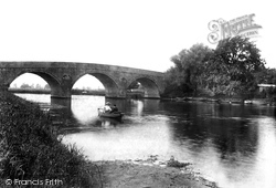
As well as its three main arches, the bridge also has six smaller flood arches across the fields on the south bank.
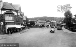
This view shows the approach to the village from the south, with the open space of Ellerthwaite Square having no shortage of motor traffic even at this early time, including an omnibus (right).
These days Hopes Green is simply a westward extension of South Benfleet, but it started life as a hamlet of fishermen's cottages.
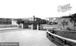
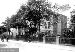
The Grammar School, on Normanby Road, South Bank was opened in 1955.
Its growth, however, owed much to the development of coal mining to the east and south-west, and later to the north-west. By 1914 the population stood at about 13,000.
Others areas where dolomite was being quarried included Marsden and to the south of Seaham Harbour.
The grassy sward in the foreground is now the Helen Garden, and the middle distance is dominated by South Cliff Tower, an unfortunate eighteen-storey block of flats built in 1966 that sits ill amid
The air age came to Yarmouth as early as 1913, when an Air Station was established on the South Denes.
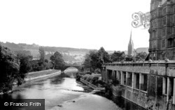
Looking south from the bridge, the towering mass of the former Empire Hotel is on the right with its terrace. Beyond is the spire of St John the Baptist Church and the Parade Gardens.
Situated five miles south-west of Bridgend, the Dunraven in our picture is the 19th-century castellated mansion built for Thomas Wyndham MP between 1802 and 1806 on the site of a medieval fortress.
The opening of the University College of South Wales and Monmouthshire in 1883 was considered momentous enough to merit a public holiday.
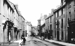
The High Street approaches the Market Place from the south, slightly downhill beyond the crossroads in the middle distance. The west side of the Market Place is in the distance.
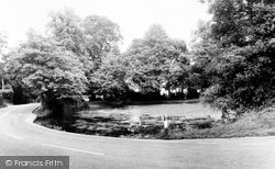
Elmore Cottages still command the High Road opposite the village pond and crossroads but have been extended on the south side where the fence on the flint wall has been removed.
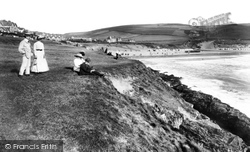
Barricane Beach is behind the camera, and we see the broad expanse of Woolacombe sands stretching away south towards Croyde.
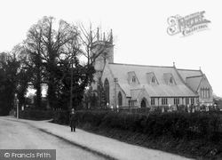
Leaving the villages along the river, we move inland south to Earley, now very much part of Reading. In 1910 Church Road was a country lane still.
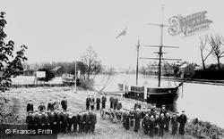
The sea cadets parade proudly at their headquarters east of Kings Meadow on the south bank of the Thames.
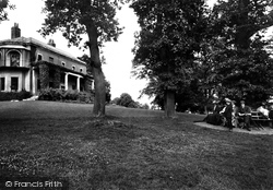
The park had focussed around Prospect Hill House, now known as The Mansion House, which after being a problem building for years is now a pub/restaurant with marvellous views south from its hilltop
Reading developed further south on higher land along the banks of the River Kennet, well away from the then marshy meads bordering the River Thames.
The M25 now skirts the south of this former market town, and link roads have destroyed some of the town's ancient character and streets.
The design is Z-shaped, running from north to south to catch as much sunlight as possible, with a square at each end.
Between the lions is a statue of Major-General Charles Compton, third Baron Chesham, the commander of the Bucks Militia, who fought in South Africa during the Boer War.
Places (15471)
Photos (5054)
Memories (1580)
Books (1)
Maps (2499)


