Places
36 places found.
Those places high-lighted have photos. All locations may have maps, books and memories.
- Shanklin, Isle of Wight
- Ventnor, Isle of Wight
- Ryde, Isle of Wight
- Cowes, Isle of Wight
- Sandown, Isle of Wight
- Port of Ness, Western Isles
- London, Greater London
- Cambridge, Cambridgeshire
- Dublin, Republic of Ireland
- Killarney, Republic of Ireland
- Douglas, Isle of Man
- Plymouth, Devon
- Newport, Isle of Wight
- Southwold, Suffolk
- Bristol, Avon
- Lowestoft, Suffolk
- Cromer, Norfolk
- Edinburgh, Lothian
- Maldon, Essex
- Clacton-On-Sea, Essex
- Norwich, Norfolk
- Felixstowe, Suffolk
- Hitchin, Hertfordshire
- Stevenage, Hertfordshire
- Colchester, Essex
- Nottingham, Nottinghamshire
- Bedford, Bedfordshire
- Bury St Edmunds, Suffolk
- Aldeburgh, Suffolk
- St Albans, Hertfordshire
- Hunstanton, Norfolk
- Chelmsford, Essex
- Bishop's Stortford, Hertfordshire
- Peterborough, Cambridgeshire
- Brentwood, Essex
- Glengarriff, Republic of Ireland
Photos
9,106 photos found. Showing results 4,281 to 4,300.
Maps
181,006 maps found.
Books
11 books found. Showing results 5,137 to 11.
Memories
29,054 memories found. Showing results 2,141 to 2,150.
Those Were The Days 6
Continuing up the street on the right was a long parade of various shops and we come to Salisbury Ave on the corner was a large modernistic furniture shop later the shop nest door became a KFC and across the street next to the ...Read more
A memory of Barking in 1950 by
Those Were The Days 2
It didn't change until the sixties when the station was rebuilt and opened by Her Majesty Queen Elizabeth 11 in 1961. I watched the whole building project from start to finish from the comfort of my bedroom window. When it ...Read more
A memory of Barking in 1950 by
Fenland Farming Around Peterborough
On reading the book 'PETERBOROUGH A Miscellany' a couple of items are incorrect by my own knowledge and experience. Page 4 : 'Dockey' was a word almost exclusive to fen farmworkers, it was the break taken at ...Read more
A memory of Peterborough in 1952 by
Post War Memory
My Nan and Grandad lived near the corner of Chamberlayne Road and Bleinham Road - 108 Chamberlayne Road - Mr and Mrs Ayley. Grandad kept ferrets and racing pigeons in the back garden.
A memory of Eastleigh in 1950 by
My Scurlock Family
I was born opposite the clinic in, I think, High Street, My dad's name was Melbourne Haig Scurlock, my mum's Ann Cleverly before marriage. My dad had TB whilst he was young so he worked in the Remploy which didn't pay very ...Read more
A memory of Gilfach Goch in 1962 by
Memories Of St. Margarets Church
Fond memories of St. Margarets Church in Uxbridge, Middx. My home was Harefield Road , Uxbridge. and we were married by the Rev: Bruce Eadie. He asked us to go to Westminster to obtain a special license because he ...Read more
A memory of Uxbridge in 1952 by
The Jester
I remember the Jester coffee bar! Hyde scooters, mods and a scruffy old juke box, hours of good times all for the price of a coke which would last all night!
A memory of Hyde by
Fish Strand Quay
Yes, I 'grew up' on Fish Strand and still use it to this day. My father kept various boats off the quay and we always had a dinghy moored there, and we still do, my father is now in his 90s and I have 2 grandaughters. I remember ...Read more
A memory of Falmouth in 1958 by
Milton Barracks
I did my two years National Service with 75th HAA Regt.RA ,reporting for duty August 1950 after passing out from MONS OCS. Aldershot. Served with 288 Bty in a Troop commanded by Capt. Pinfold. I have lived in Canada for 54 years ...Read more
A memory of Gravesend in 1950 by
St Michaels On Wyre
My dad had a cousin who was Vicar at St Michaels on Wyre during the 1945 - 55 era. His name, Raymond Bell. As a child visiting his parents in Wray, near Hornby during the Second World War years I only met Raymond ...Read more
A memory of St Michael's on Wyre in 1950 by
Your search returned a large number of results. Please try to refine your search further.
Captions
29,158 captions found. Showing results 5,137 to 5,160.
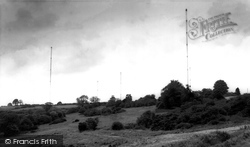
This is the view that Daventrians saw of the BBC station.
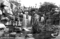
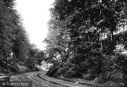
Madeira Walk was hewn out of chalk. The work began in 1892.
Arrested during the persecution of Protestants that followed Mary Tudor's accession to the throne, Hooper was held in custody for seventeen months before the law to burn heretics was passed.
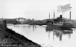
Begun in 1883, the Manchester Ship Canal was a major civil engineering project of the Victorian age.
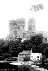
Once the property of the priors of Durham, the fulling mill was once known as the Jesus Mill; it now houses the Durham University Museum of Archaeology.
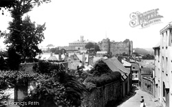
Another interesting scene of the town taken from the steps in Hill Lane looking towards the castle.
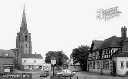
Dragwell, adjacent to A R Tarlton's chemist's shop (left), runs between Derby Road and Nottingham Road on the north side of the church, which stands prominently above the River Soar.
In 1929 the council negotiated the purchase, at a very reasonable figure, of a large area of land owned by the Fleming family, who were the patrons of North Stoneham, and it was named Fleming Park.
During the 19th and early 20th centuries, Staithes was a fishing port of some standing, a centre for cod, haddock and mackerel, but it fell into decline with the development of steam trawlers, which tended
Much has changed in this view looking downhill northwards towards the station and the High Street, with the house on the left replaced by a Shell garage.
Battenhall lies off London Road and was first recorded in Norman times, when the Poer family held the manor for the annual rent of one lamprey.
However this may have inhibited the design of the two floors of residential apartments - though not the quality of their fittings. The top floor of the keep was primarily a fighting platform.
There has been a fortification of one sort or another at Inverness since the time of King Brude in the 6th century.
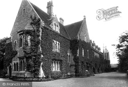
By 1900 some of the College's austerity had been softened by creeper, but it still laboured under the cumbersome name of the Oxford Diocesan Training College for School Masters.
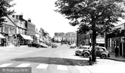
By 1960, the pedestrian crossing over Westgate had been moved to its present position, in the foreground of this view.
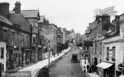
No 11, selling boots and shoes, together with Lipton's teas (left), was the shop of clothier Harry Lane. No 12 was another tailor, Sidney Wellman (centre left).
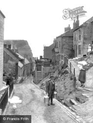
St Oswald's church at the top of this ravine used to be on the edge of the East Riding.
This is the T-junction at the centre of Hurst Green, seen here in the gentle post-war years. This stretch of road has a history all of its own.
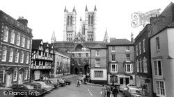
The cathedral is accepted as being one of the most beautiful buildings in Europe; it dominates the uphill area of the city and its surrounding buildings.
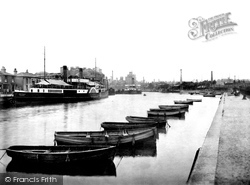
Paddle steamers provided pleasure trips and a bus service of sorts out to the coastal ports of Harwich and Felixstowe.
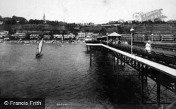
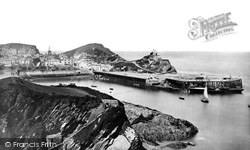
Sir Bourchier Palk Wrey, Lord of the Manor, had to obtain a £10,000 loan and a special Act of Parliament for the building of the Promenade Pier, which was opened on 15 May 1873.
This dramatic statue of Alfred the Great, King of Wessex, occupies a prominent site in Broadway.
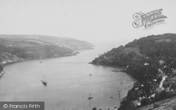
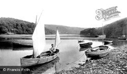
Dittisham is one of the larger villages along the steeply wooded banks of the romantic Dart estuary. A foot ferry takes passengers across the river to Greenway, once the home of Dame Agatha Christie.
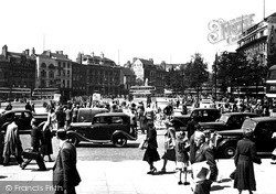
This appears to be lunchtime judging by the number of peo- ple taking their ease.
Places (6814)
Photos (9106)
Memories (29054)
Books (11)
Maps (181006)


