Places
36 places found.
Those places high-lighted have photos. All locations may have maps, books and memories.
- Shanklin, Isle of Wight
- Ventnor, Isle of Wight
- Ryde, Isle of Wight
- Cowes, Isle of Wight
- Sandown, Isle of Wight
- Port of Ness, Western Isles
- London, Greater London
- Cambridge, Cambridgeshire
- Dublin, Republic of Ireland
- Killarney, Republic of Ireland
- Douglas, Isle of Man
- Plymouth, Devon
- Newport, Isle of Wight
- Southwold, Suffolk
- Bristol, Avon
- Lowestoft, Suffolk
- Cromer, Norfolk
- Edinburgh, Lothian
- Maldon, Essex
- Clacton-On-Sea, Essex
- Norwich, Norfolk
- Felixstowe, Suffolk
- Hitchin, Hertfordshire
- Stevenage, Hertfordshire
- Colchester, Essex
- Nottingham, Nottinghamshire
- Bedford, Bedfordshire
- Bury St Edmunds, Suffolk
- Aldeburgh, Suffolk
- St Albans, Hertfordshire
- Hunstanton, Norfolk
- Chelmsford, Essex
- Bishop's Stortford, Hertfordshire
- Peterborough, Cambridgeshire
- Brentwood, Essex
- Glengarriff, Republic of Ireland
Photos
9,106 photos found. Showing results 6,761 to 6,780.
Maps
181,006 maps found.
Books
11 books found. Showing results 8,113 to 11.
Memories
29,056 memories found. Showing results 3,381 to 3,390.
The Building Of The M1 Motorway
Living on Tongwell farm was for me a great deal of fun and we always had plenty of things to occupy our time. We attended school in Newport Pagnell and usually got there on the bike and went to our grandmother's house ...Read more
A memory of Tongwell in 1959 by
Robin Hood Pub In Salford
I was born in 61. My gran and grandad Elizabeth and Thomas Wainwright ran the Robin Hood pub in Salford - I cannot remember the exact street it was on, but I think you could get to it from Lower Broughton Rd. It was a cosy ...Read more
A memory of Salford in 1964 by
Music Teacher
My father, Kenneth Sydney Mickleburgh used to cycle from Bungay to give piano lessons to pupils in Norton, perhaps some of them still live there.
A memory of Norton Subcourse in 1940 by
The Cop
I lived at 14 Darcy Street until we moved to Wallsend in 1965. My name is Allan Calvert, we lived next door to Steven Oppenshaw and his family. I have lots of great memories of good friends, June Welsh, Dennis Thompson, David Maddison ...Read more
A memory of Langley Park in 1890 by
Tottenham In The 50s
I was born in Mount Pleasant Rd in 1947 and lived there until 1959 when we moved to Norfolk, attended Bruce Grove Jnr School and then Rowland Hill. I can remember being taken home from school by my teacher during the smog and ...Read more
A memory of Tottenham by
Celebration Fireworks Panic
To celebrate some milestone in Wednesbury's history, there was a bonfire and firework display at Hydes Road around about the 60's. To ensure everyone's safety, the fire brigade were given the job of setting off the ...Read more
A memory of Wednesbury in 1960 by
Member Of St Albans Choir In The 70`s
Friday nights were something I would always looked forward to as it would be choir practice. My sisters and a few other girls were, I think, one of the first female choir members that I can ...Read more
A memory of Teddington in 1974 by
North Ormesby
I was born in Queen St in 1954. I have very good memories of my childhood. People looked after each other because everyone was in the same boat, nobody had nowt. As kids, we used to play down shortie bank on the handcarts. My ...Read more
A memory of North Ormesby by
I Remember The Primary School And Merrys Motors In Station Road
I lived in the house on the corner of Station Road, near to the level crossing, and opposite the house was a garage and sign saying "Merry's motors mean many more merry miles motoring". ...Read more
A memory of Egham in 1949 by
Cheam Fair
Does anyone have any memories of the Cheam Fair back in the mid to late 1800's? I understand it still takes place this day!
A memory of Cheam in 1880 by
Your search returned a large number of results. Please try to refine your search further.
Captions
29,158 captions found. Showing results 8,113 to 8,136.
This scene was photographed from one of the upper floors of Mapledurham House, which was built during the 16th century by Sir Richard Blount, whose tomb can be found in St Margaret's Church.
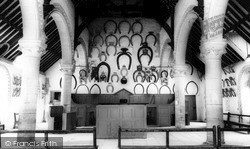
Here the visitor can find a remarkable collection of horseshoes in all sizes, for the tradition of the town requires all nobility, including members of the Royal Family, to present a horseshoe when visiting
Modern-day Warrington aspires to city status, but the Anglo-Saxon Chronicle records that the village of Thelwall briefly held that honour.
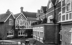
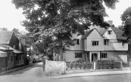
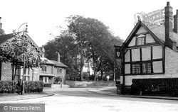
The central section still has remains of the open hall. The front has Edwardian mock timbering.
On the corner of Low Road, leading to the King's Head, are houses called St Margaret and St Mary (centre left). The prominent jettied timber-framed building facing us is Waterloo House of c1540.
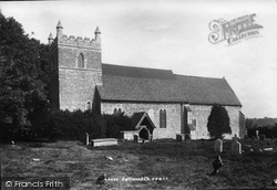
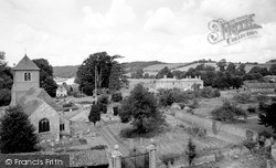
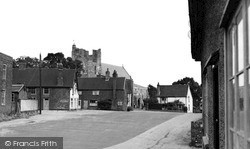
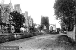
On the left is the corner of the brick-fronted manor house. The top of the church tower fell in 1829, which gave it a castle-like appearance. It was not restored until the 1960s.
New Rossington, a village lying to the south of Doncaster, was created when the colliery was sunk into the rich South Yorkshire coalfield.
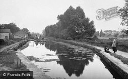
Here we see a pair of loaded working boats on the Aylesbury Arm near Broughton on the edge of town. The wooden stumps (bottom left) are known as strapping posts, and were used to tie up boats.
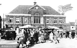
The Town Hall, standing in the middle of the ancient market place, was designed in 1857 by Edward Lamb of Manchester, using an unusual combination of bricks and flints in the main building, the tower and
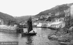
Many of the fishermen's cottages looking towards the harbour were built in three storeys, the ground floor being used for storing and salting their catches of fish.
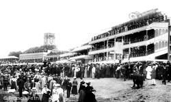
After the death of his mother Queen Victoria, Edward VII did much to promote Ascot as a significant social event. This photograph of the racecourse was taken a year after Edward became King.
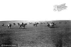
Middleham is famous for its racehorses, and this photograph of the Low Moor shows a string of horses ridden by flat-capped jockeys walking in a wide circle with the trainer supervising in the middle.
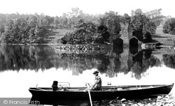
A lone elderly oarsman reflects on life on the still waters of the little bay below Wray Castle and its impressive ornate boathouse.
Frampton, 'the settlement on the Frome', is an attractive downland village north-west of Dorchester. The old manor house of Frampton Court was demolished in 1939.
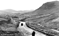
There is not much traffic other than a car and a motorcycle with pillion passenger in this view of the road running down from Dunmail Raise into Grasmere.
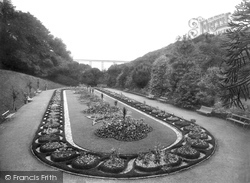
This beautiful display has survived, but vandalism and lack of funds has meant that many have disappeared.
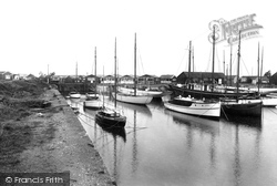
These residential bungalows lining the harbour have been mostly swept away by hostile tides and the developments of the past century.
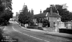
We are at the bottom of the hill looking back towards the Square. The ornamental railings on the right are those of Botley Mill.
Our tour of the towns and villages near Lincoln starts in Gainsborough, a town of the ancient Anglo-Saxon kingdom of Lindsey that ruled what is now north Lincolnshire.
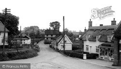
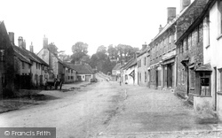
Although many of the buildings are today little changed from those shown here, the lack of pavements and tarmac on the street gives it a vastly different appearance.
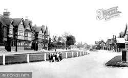
A group of young children are seen standing in front of a barrier in Datchet village.
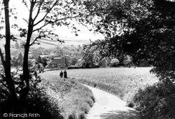
Taken from the edge of Parsonage Woods to the north of the town, this view, almost unchanged today, looks past the cornfield towards the historic market town nestling in its Chiltern valley.
Inside the church (not visible in this photograph) lies the tomb of Capability Brown, who became a cult figure among the aristocracy for his stylised landscaping.
Perched on its cliff overlooking the rivers Teme and Corve, Ludlow was built in a strategic location on the Welsh borders.
Places (6814)
Photos (9106)
Memories (29056)
Books (11)
Maps (181006)


